MyTopo
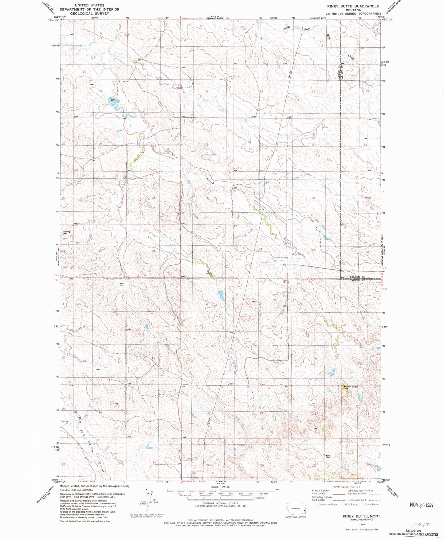
Classic USGS Piney Butte Montana 7.5'x7.5' Topo Map
Couldn't load pickup availability
Historical USGS topographic quad map of Piney Butte in the state of Montana. Map scale may vary for some years, but is generally around 1:24,000. Print size is approximately 24" x 27"
This quadrangle is in the following counties: Carter, Fallon.
The map contains contour lines, roads, rivers, towns, and lakes. Printed on high-quality waterproof paper with UV fade-resistant inks, and shipped rolled.
Contains the following named places: 03N57E02AAAD01 Well, 03N57E13DDD_01 Well, 04N57E14DAB_01 Well, 04N57E15ABDA01 Well, 04N57E24BDCB01 Well, 04N57E24CAA_01 Well, 04N58E17CCCB01 Well, 04N58E18CC__01 Well, 04N58E30ADAD01 Well, 04N58E32DADB01 Well, Hanley Dam, Homer Number 1 Dam, Piney Butte, Ringling Number 1 Dam