
MyTopo
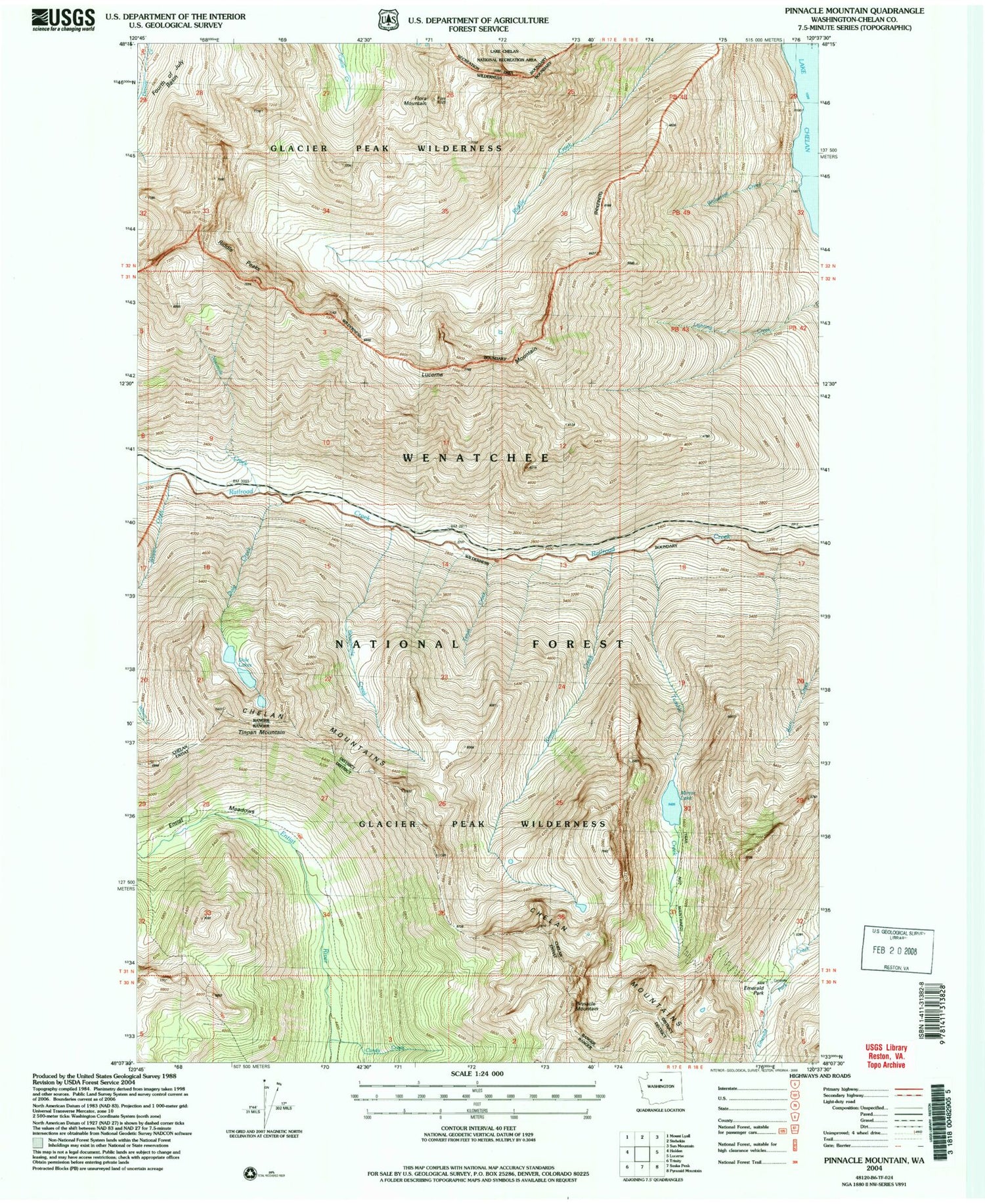
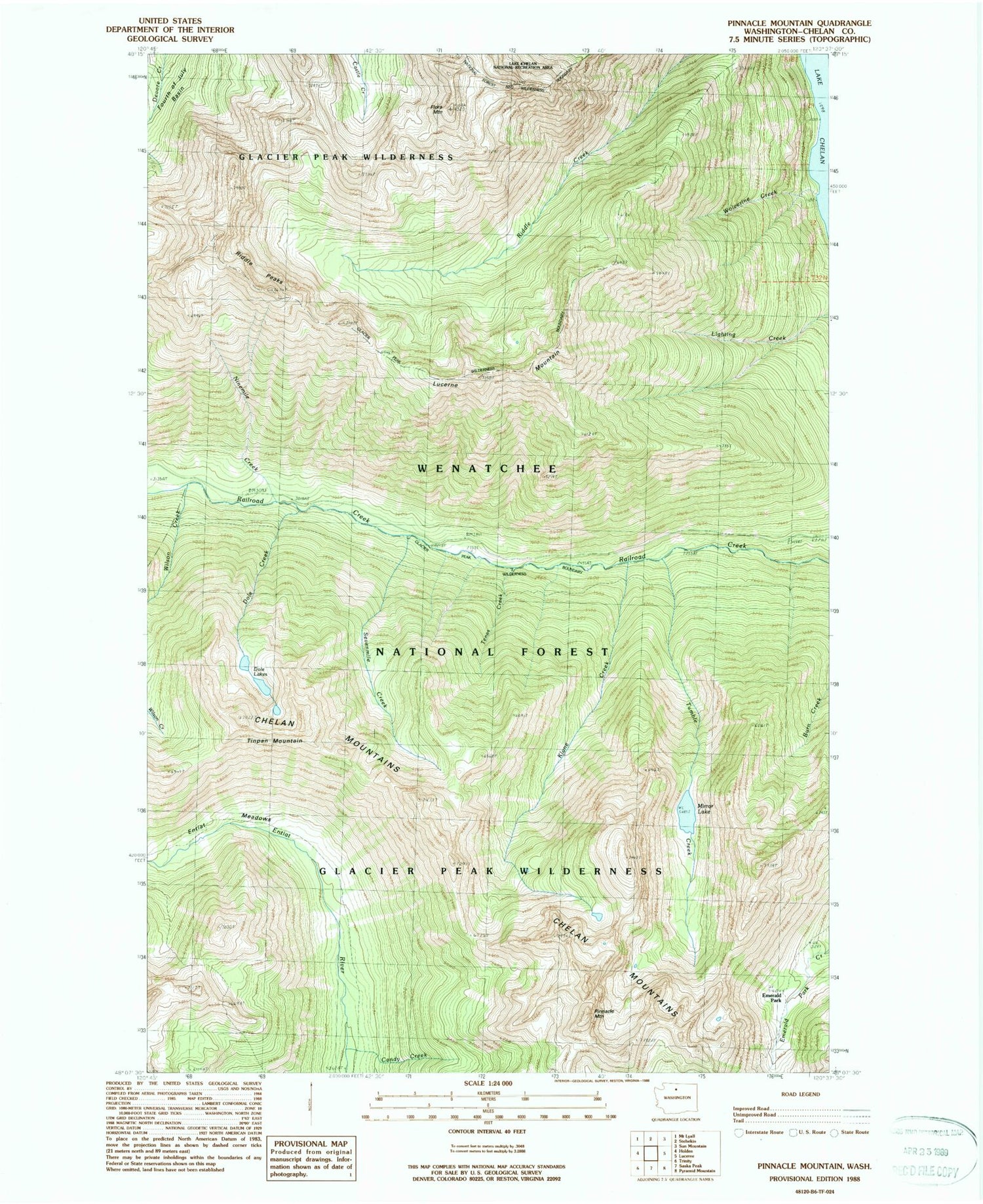
Classic USGS Pinnacle Mountain Washington 7.5'x7.5' Topo Map
Couldn't load pickup availability
Historical USGS topographic quad map of Pinnacle Mountain in the state of Washington. Map scale may vary for some years, but is generally around 1:24,000. Print size is approximately 24" x 27"
This quadrangle is in the following counties: Chelan.
The map contains contour lines, roads, rivers, towns, and lakes. Printed on high-quality waterproof paper with UV fade-resistant inks, and shipped rolled.
Contains the following named places: Candy Creek, Dole Creek, Dole Lakes, Edil Mine, Emerald Park, Entiat Meadows, Flora Mountain, Klone Creek, Lucerne Mountain, Mirror Lake, Ninemile Creek, Pinnacle Mountain, Riddle Peaks, Sevenmile Creek, Sixmile Creek, Tenas Creek, Tinpan Mountain, Tumble Creek, Wilson Creek, Wolverine Creek


