MyTopo
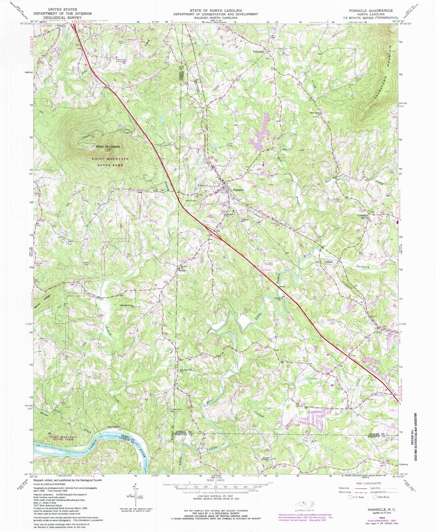
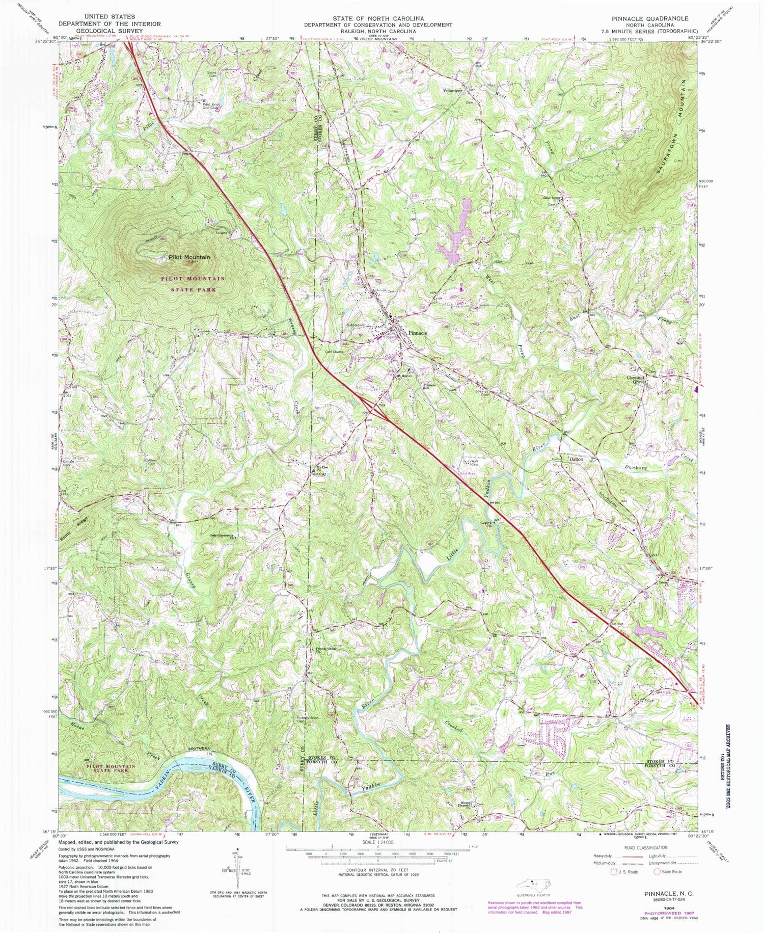
Classic USGS Pinnacle North Carolina 7.5'x7.5' Topo Map
Couldn't load pickup availability
Historical USGS topographic quad map of Pinnacle in the state of North Carolina. Typical map scale is 1:24,000, but may vary for certain years, if available. Print size: 24" x 27"
This quadrangle is in the following counties: Forsyth, Stokes, Surry, Yadkin.
The map contains contour lines, roads, rivers, towns, and lakes. Printed on high-quality waterproof paper with UV fade-resistant inks, and shipped rolled.
Contains the following named places: Allen Cemetery, Crooked Run Creek, Danbury Creek, East Prong Little Yadkin River, Edwards Cemetery, Friends Union Cemetery, Friends Union Church, Gilliam Cemetery, Gods Community Church, Grassy Creek, Horne Creek, Mount Moriah Church, Mount Pleasant Church, Mount Zion United Methodist Church, Olive Grove Baptist Church, Pilot Knob Golf Club, Pilot Mountain, Pinnacle, Pinnacle School, Stone Cemetery, Trinity United Methodist Church, Volunteer, Wall Cemetery, West Prong Little Yadkin River, Lilly Lake, Lilly Dam, Little Yadkin Watershed Lake Six, Little Yadkin Watershed Dam Number Six, Cox Dam, Cox Lake, Pilot Mountain State Park, Pilot Mountain State Park, Dalton (historical), Pinnacle Lions Park, Culler/Pinnacle (historical), WTQR-FM (Winston-Salem), Chestnut Grove, Dalton, Township of Shoals, Boyden (historical), Brown School (historical), McLains Ford, Fishing Island, Boyden Post Office (historical), Chestnut Grove United Methodist Church, Mount Zion Cemetery, Pinnacle High School, Pinnacle United Methodist Church, Shiloh Baptist Church, Pinnacle United Methodist Church Cemetery, Volunteer Primitive Baptist Church, Volunteer School (historical), Pinnacle Census Designated Place, Shoals Volunteer Fire Department, Pinnacle Volunteer Fire and Rescue, Stokes County Emergency Medical Services - Unit 3 and 4, Pinnacle Post Office


