MyTopo
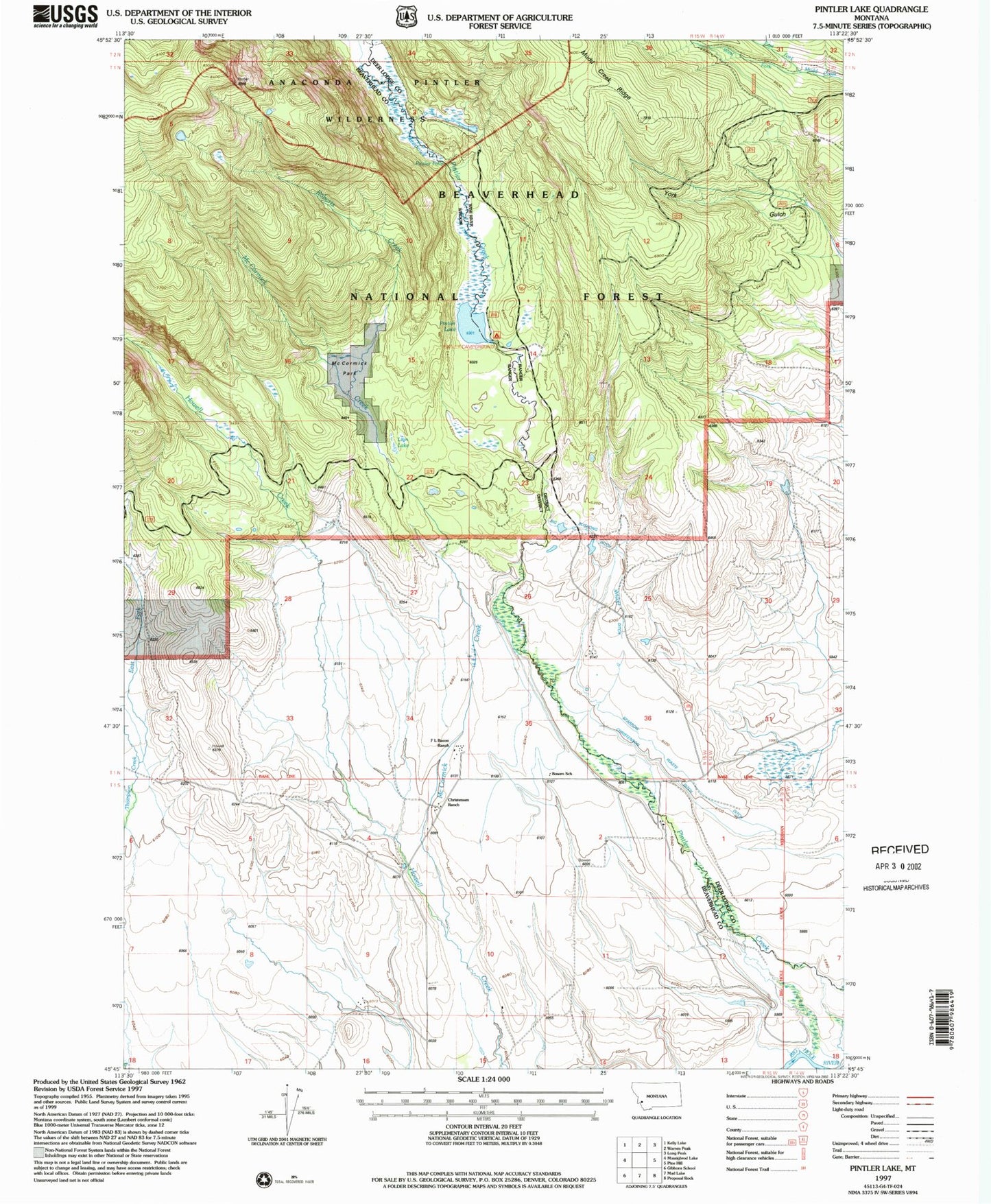
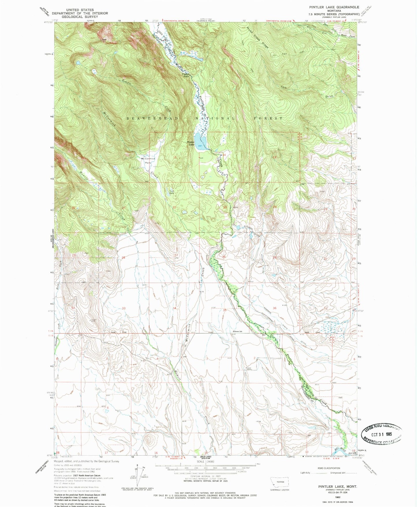
Classic USGS Pintler Lake Montana 7.5'x7.5' Topo Map
Couldn't load pickup availability
Historical USGS topographic quad map of Pintler Lake in the state of Montana. Map scale may vary for some years, but is generally around 1:24,000. Print size is approximately 24" x 27"
This quadrangle is in the following counties: Beaverhead, Deer Lodge.
The map contains contour lines, roads, rivers, towns, and lakes. Printed on high-quality waterproof paper with UV fade-resistant inks, and shipped rolled.
Contains the following named places: 01N15W14BCAA01 Well, 01N15W34DADC01 Well, 01N15W34DDAB01 Well, 01N15W34DDAB02 Well, 01S15W02ADAC01 Well, 01S15W03BBCD01 Well, 01S15W03BCBA01 Well, 01S15W03BCBA02 Well, 01S15W04DACC01 Well, 01S15W08BADD01 Well, Big Bushong Ditch, Bowen Post Office, Bowen School, Christensen Ranch, Christenson Ditch, Dreise Ranch, East Fork Mudd Creek, East Fork Thompson Creek, L Bacon Ranch, Lion Lake, McCormick Creek, McCormick Park, Nyhart Ditch, Pintler Campground, Pintler Falls, Pintler Lake, Pintler Meadows, Roberts Creek, Sparrow Waste Ditch, West Fork Mudd Creek