
MyTopo
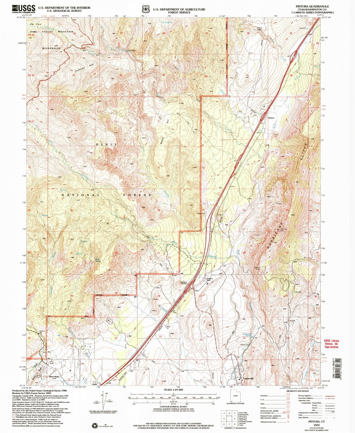
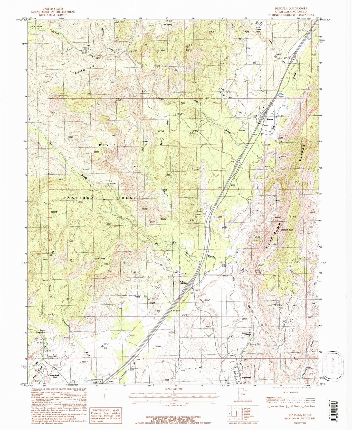
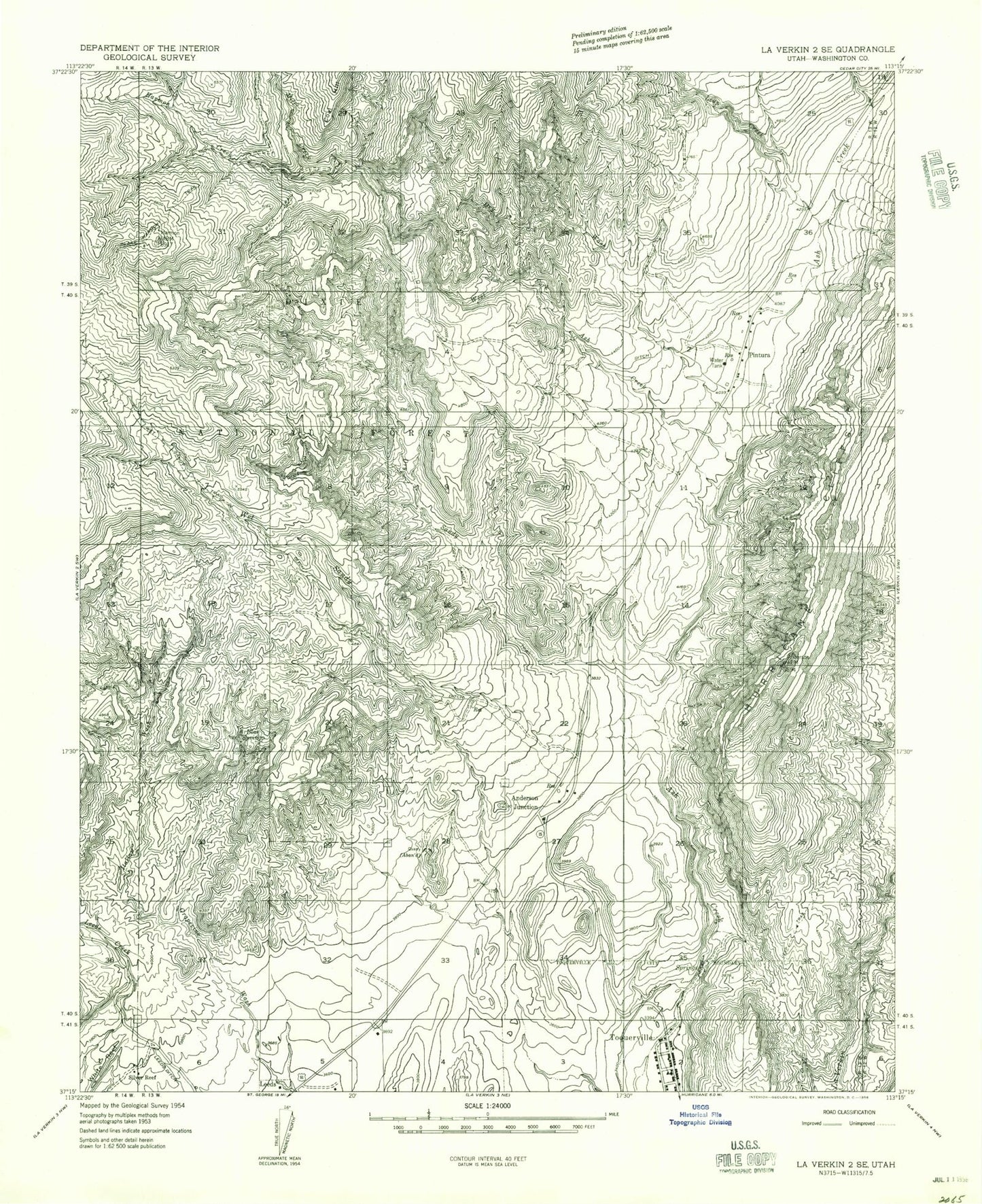
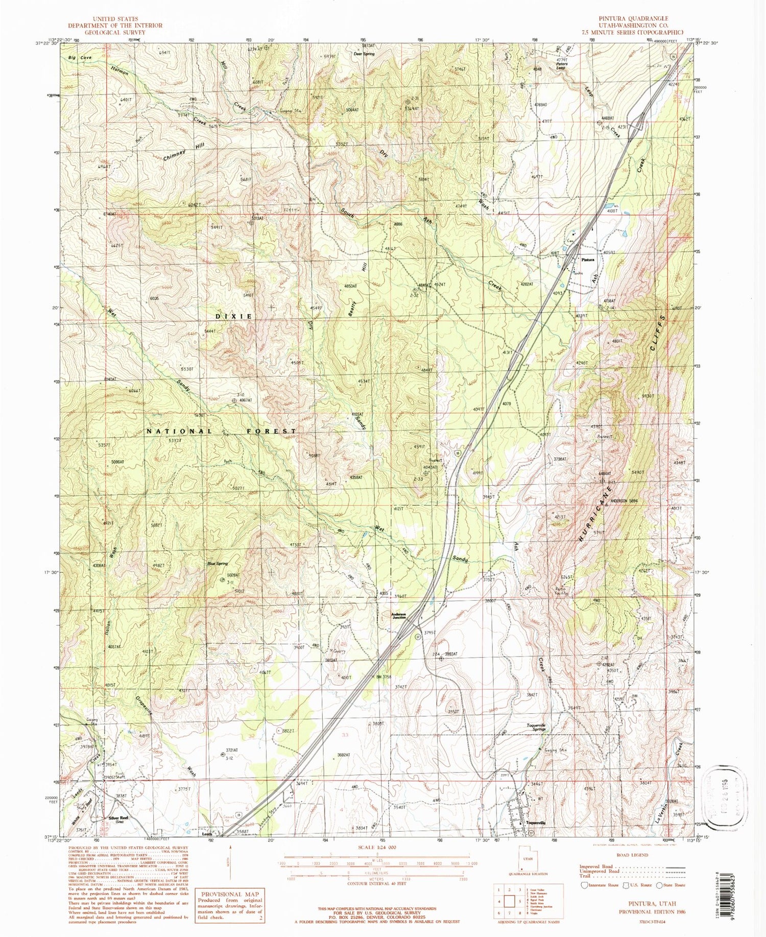
Classic USGS Pintura Utah 7.5'x7.5' Topo Map
Couldn't load pickup availability
Historical USGS topographic quad map of Pintura in the state of Utah. Map scale may vary for some years, but is generally around 1:24,000. Print size is approximately 24" x 27"
This quadrangle is in the following counties: Washington.
The map contains contour lines, roads, rivers, towns, and lakes. Printed on high-quality waterproof paper with UV fade-resistant inks, and shipped rolled.
Contains the following named places: Anderson Family Cemetery, Anderson Junction, Anderson Ranch, Beatty Hill, Blake Harmon Trail, Blue Spring, Chimney Hill, City of Toquerville, Crystal Springs Ranch Airport, Deer Spring, Dry Sandy, Dry Sandy Trail, Dry Wash, Harmon Creek, Italian Wash, Leap Creek, Mill Creek, Peters Leap, Pintura, Pintura Cemetery, Sandy Flat, Silver Reef, South Ash Creek, Toquerville, Toquerville Post Office, Toquerville Springs, Wet Sandy Trail, ZIP Code: 84774