MyTopo
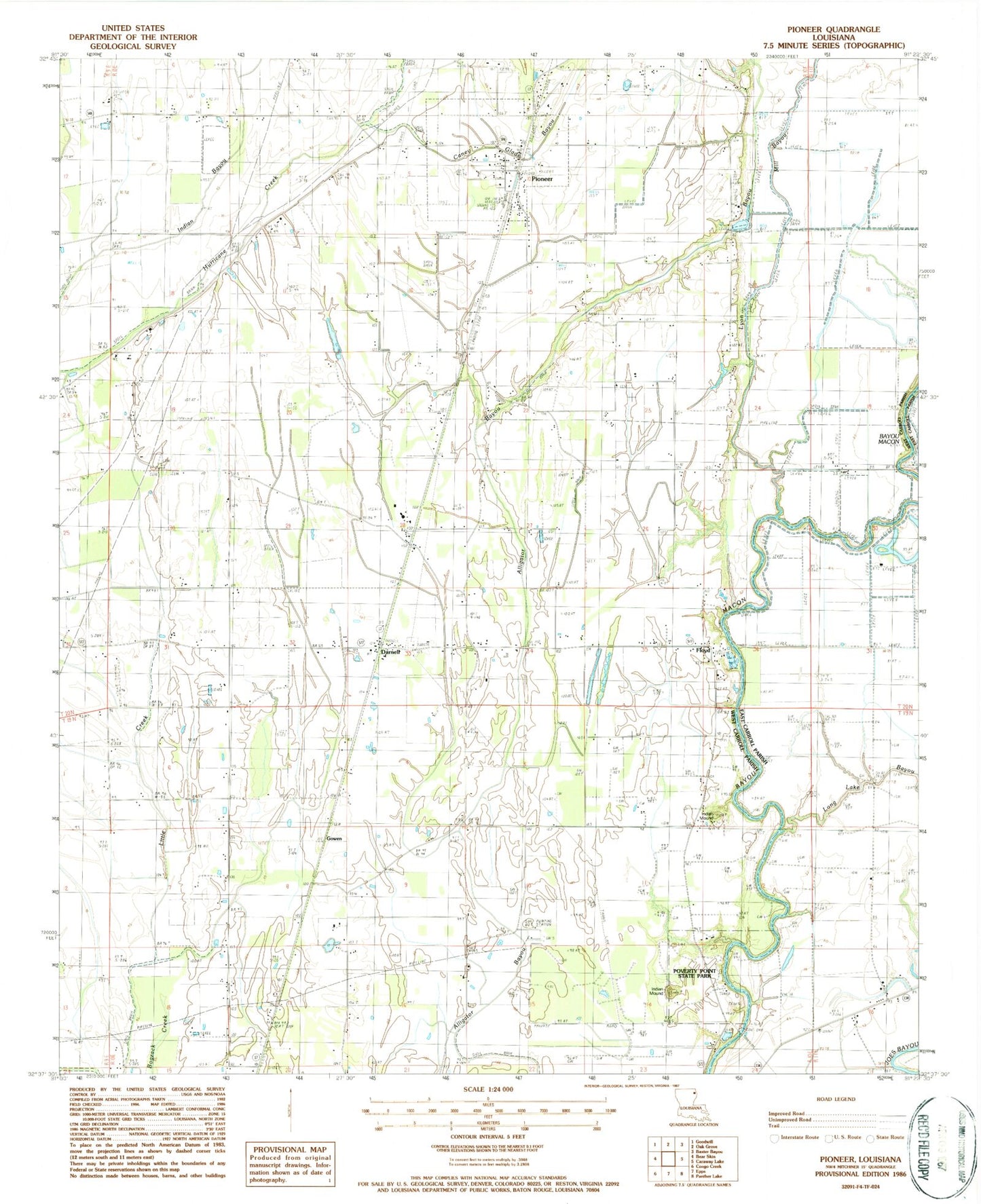
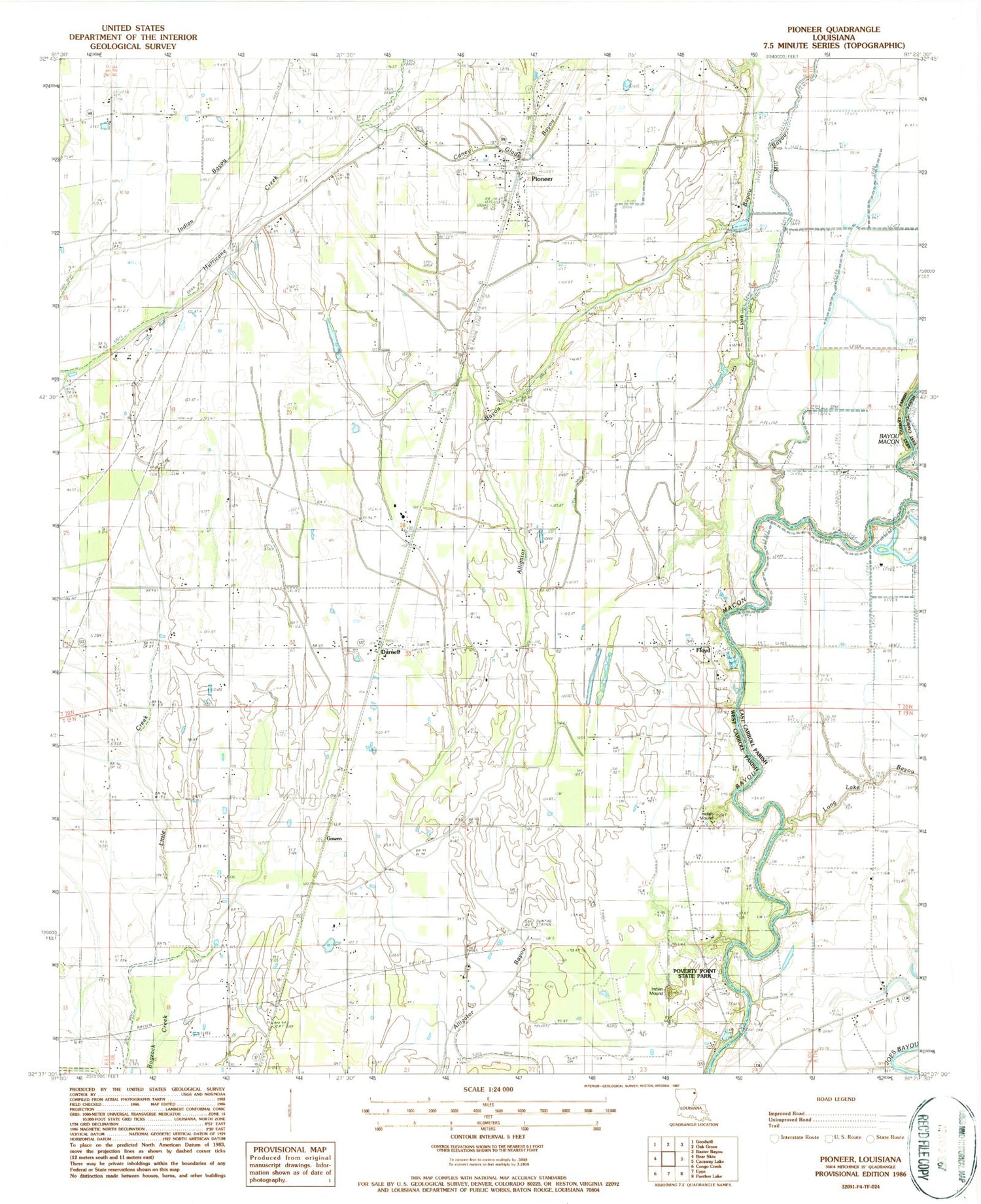
Classic USGS Pioneer Louisiana 7.5'x7.5' Topo Map
Couldn't load pickup availability
Historical USGS topographic quad map of Pioneer in the state of Louisiana. Map scale may vary for some years, but is generally around 1:24,000. Print size is approximately 24" x 27"
This quadrangle is in the following counties: East Carroll, West Carroll.
The map contains contour lines, roads, rivers, towns, and lakes. Printed on high-quality waterproof paper with UV fade-resistant inks, and shipped rolled.
Contains the following named places: Alligator Bayou, Bayou Macon Church, Bayou Meadows Airport, Bethany Cemetery, Boggy Bayou, Campbell Church, Caney Glade Bayou, Darnell, Darnell Post Office, Epps Gas Field, Evening Star Church, Floyd, Floyd Landing, Gowen, Harmony Church, Little Creek, Long Lake Bayou, Lyon Bayou, Magnolia Church, Magnolia School, Midway Church, Mill Bayou, Montgomery Ferry, Mount Pleasant Church, New Bethany Church, Pioneer, Pioneer Elementary School, Pioneer Post Office, Plum Grove Church, Poverty Point, Poverty Point National Monument, Poverty Point State Historic Site, Saint Paul Church, South Epps Gas Field, Village of Pioneer, Ward 2 Volunteer Fire Department, Ward Two, Wilson Cemetery


