MyTopo
Classic USGS Pioneerville Idaho 7.5'x7.5' Topo Map
Couldn't load pickup availability
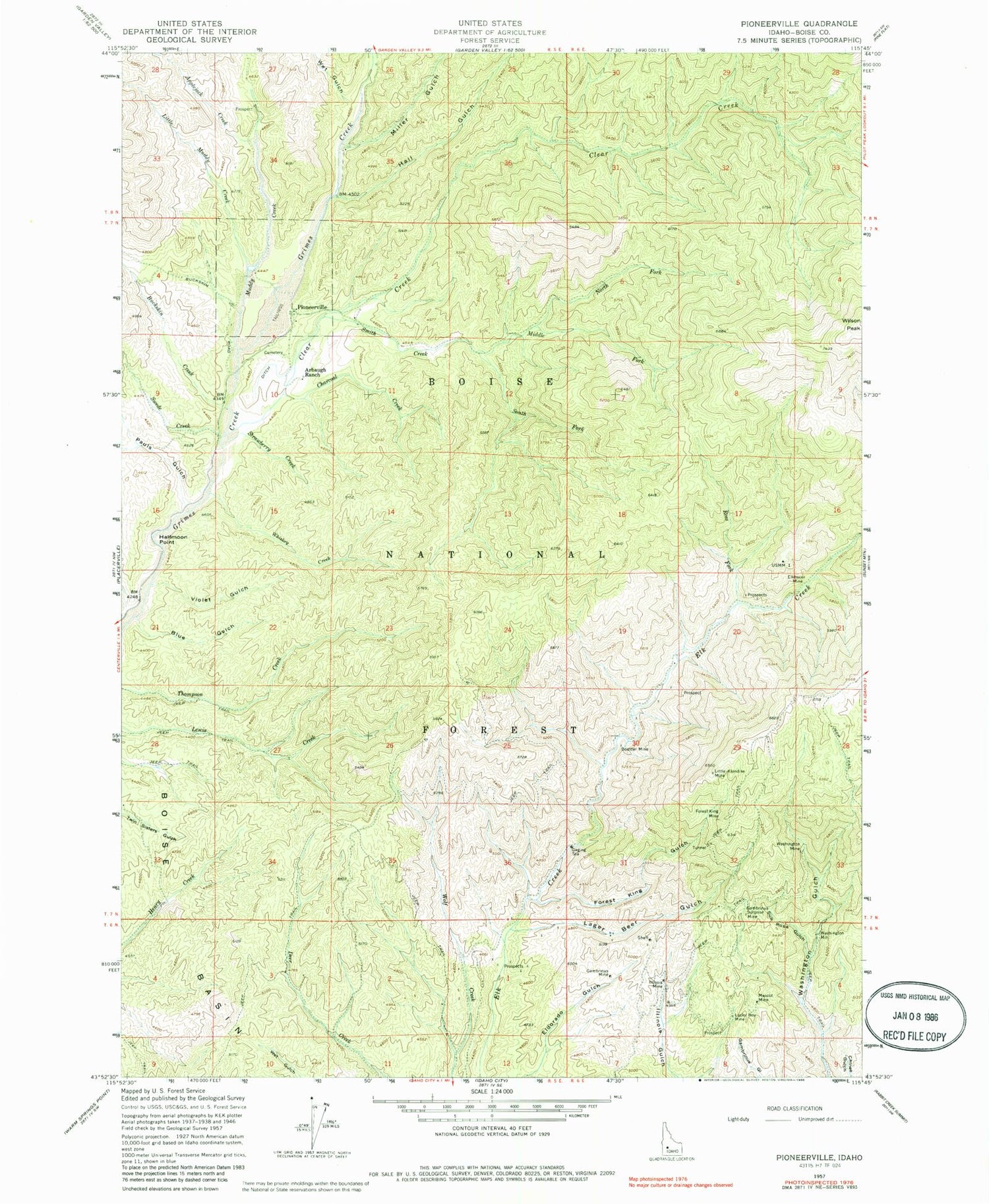
Historical USGS topographic quad map of Pioneerville in the state of Idaho. Typical map scale is 1:24,000, but may vary for certain years, if available. Print size: 24" x 27"
This quadrangle is in the following counties: Boise.
The map contains contour lines, roads, rivers, towns, and lakes. Printed on high-quality waterproof paper with UV fade-resistant inks, and shipped rolled.
Contains the following named places: Lager Beer Gulch, Applejack Creek, Arbaugh Ranch, Blue Gulch, Boulder Mine, Buckskin Creek, Charcoal Creek, Clear Creek, Elkhorn Mine, Forest King Gulch, Forest King Mine, Gambrinus Mine, Gambrinus Surprise Mine, Halfmoon Point, Hall Gulch, Illinois Mine, Little Klondike Mine, Little Muddy Creek, Lucky Boy Mine, Mascot Mine, Middle Fork Smith Creek, Miller Gulch, Muddy Creek, North Fork Smith Creek, Pauls Gulch, Ross Fork, Smith Creek, South Fork Smith Creek, Strawberry Creek, Sub Rosa Gulch, Swede Creek, Violet Gulch, Washington Mine, Whiskey Creek, Wilson Peak, Pioneerville, Washington Mill, Grimes Creek Pass, Lager Beer Creek, Miner Grave, Wet Gulch


