MyTopo
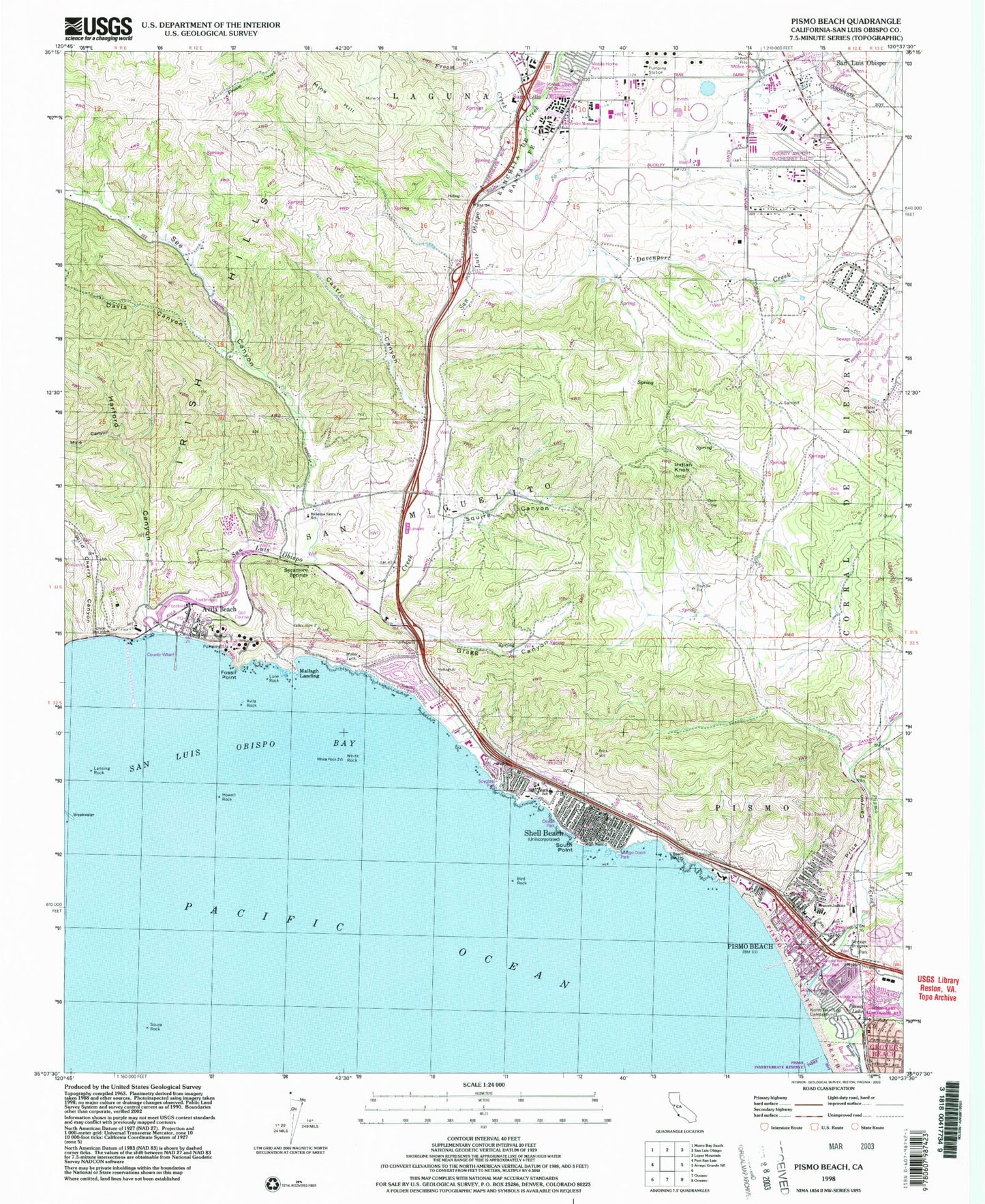
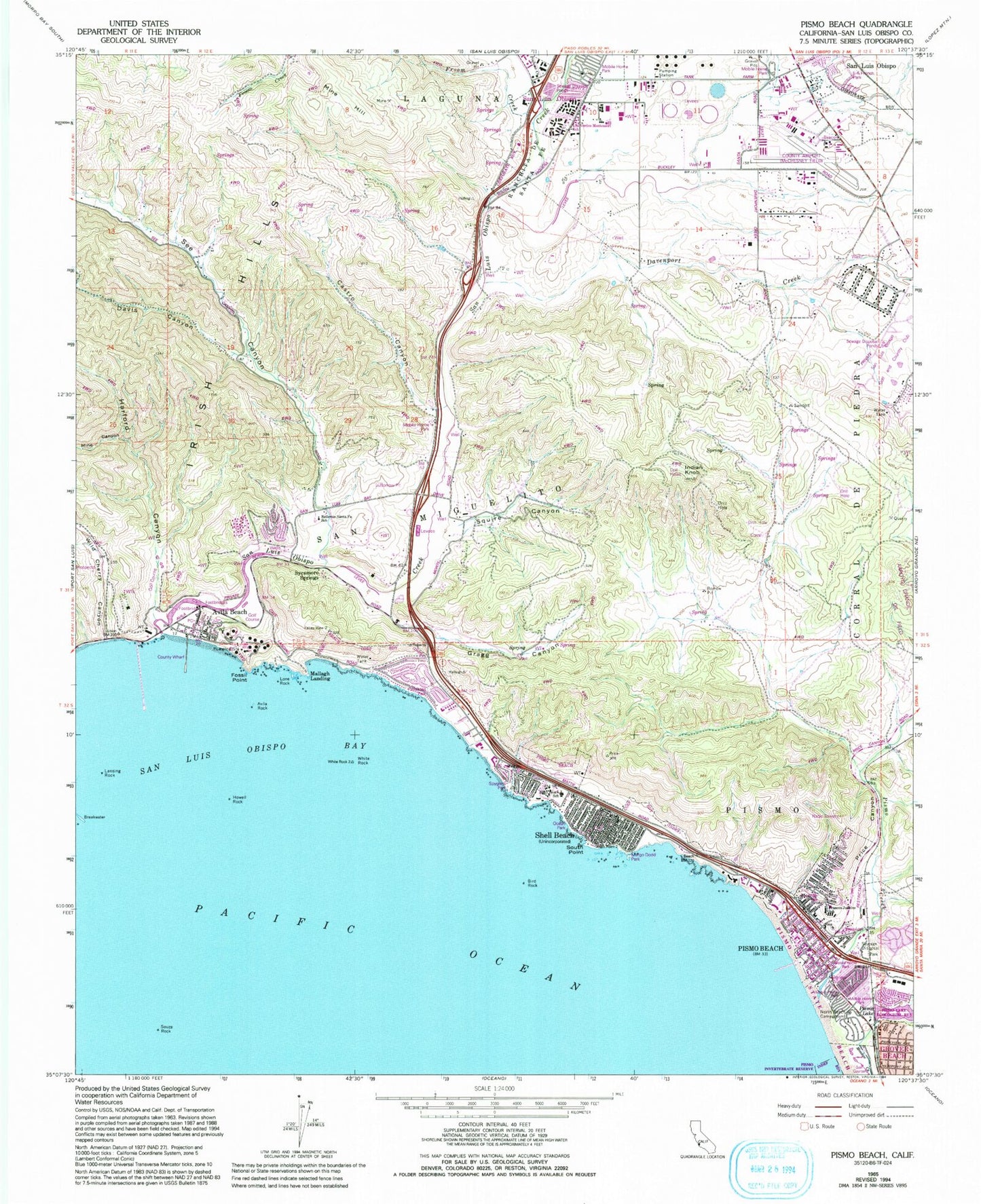
Classic USGS Pismo Beach California 7.5'x7.5' Topo Map
Couldn't load pickup availability
Historical USGS topographic quad map of Pismo Beach in the state of California. Map scale may vary for some years, but is generally around 1:24,000. Print size is approximately 24" x 27"
This quadrangle is in the following counties: San Luis Obispo.
The map contains contour lines, roads, rivers, towns, and lakes. Printed on high-quality waterproof paper with UV fade-resistant inks, and shipped rolled.
Contains the following named places: Avila Beach, Avila Beach Census Designated Place, Avila Beach Maritime Museum, Avila Beach Post Office, Avila Rock, Avila State Beach, Belleview School, Bellevue Santa Fe Charter School, Bird Rock, CAL FIRE Pismo Beach Fire Department Shell Beach Station 63, CAL FIRE Pismo Fire Department Pismo Beach Station 64, CAL FIRE San Luis Obispo County Fire Department Avila Valley Station 62, California Department of Forestry and Fire Protection Station 21 San Luis Obispo Airport, California Highway Patrol - Coastal Division, Camp Hill, Canyon School, Castro Canyon, Centro Evangelistico, Church of God of Prophecy, City of Pismo Beach, Community Presbyterian Church, Davenport Creek, Davis Canyon, E A French Park, East Santa Fe School, First Church of Christ Scientist, Fossil Point, Froom Creek, Gragg Canyon, Harford Canyon, Holiday Recreational Vehicle Park, Howell Rock, Indian Knob, Judkins Middle School, KWBR-FM (Pismo Beach), Lansing Rock, Lone Rock, Los Ranchos Census Designated Place, Mallagh Landing, Margo Dodd Park, Mercy Church, Miles, Mine Canyon, Mine Hill, North Beach Campground, Ocean Park, Old Days Museum, Ontario Hot Springs, Palisades Park, Pirates Cove, Pismo Beach, Pismo Beach Chamber of Commerce, Pismo Beach City Hall, Pismo Beach City Park, Pismo Beach Police Department, Pismo Bench, Pismo Coast Village Recreational Vehicle Resort, Pismo Creek, Pismo Dunes Travel Trailer Park, Pismo Lake, Pismo Lake Ecological Reserve, Pismo State Beach Golf Course, Prefumo Creek, Price Canyon, Ranchita De Santa Fe, Saint Pauls Catholic Church, San Luis Bay Golf Club, San Luis County Regional Airport, San Luis Obispo Bay, San Luis Obispo Buddhist Church, San Luis Obispo County Wharf, San Luis Obispo Creek, San Luis Obispo Division, San Luis Obispo Golf and Country Club, San Miguelito, Santa Fe School, See Canyon, Shell Beach, Shell Beach Branch San Luis Obispo City-County Library, Shell Beach Elementary School, Shell Beach Post Office, Shell Beach United Methodist Church, Smugglers Cave, South Point, Spyglass Park, Squire Canyon, Sunset Palisades, Sycamore Springs, The Montessori Childrens School, Trinity Free Holiness Church, White Rock, Wild Cherry Canyon, Word of Life Church, ZIP Codes: 93424, 93449


