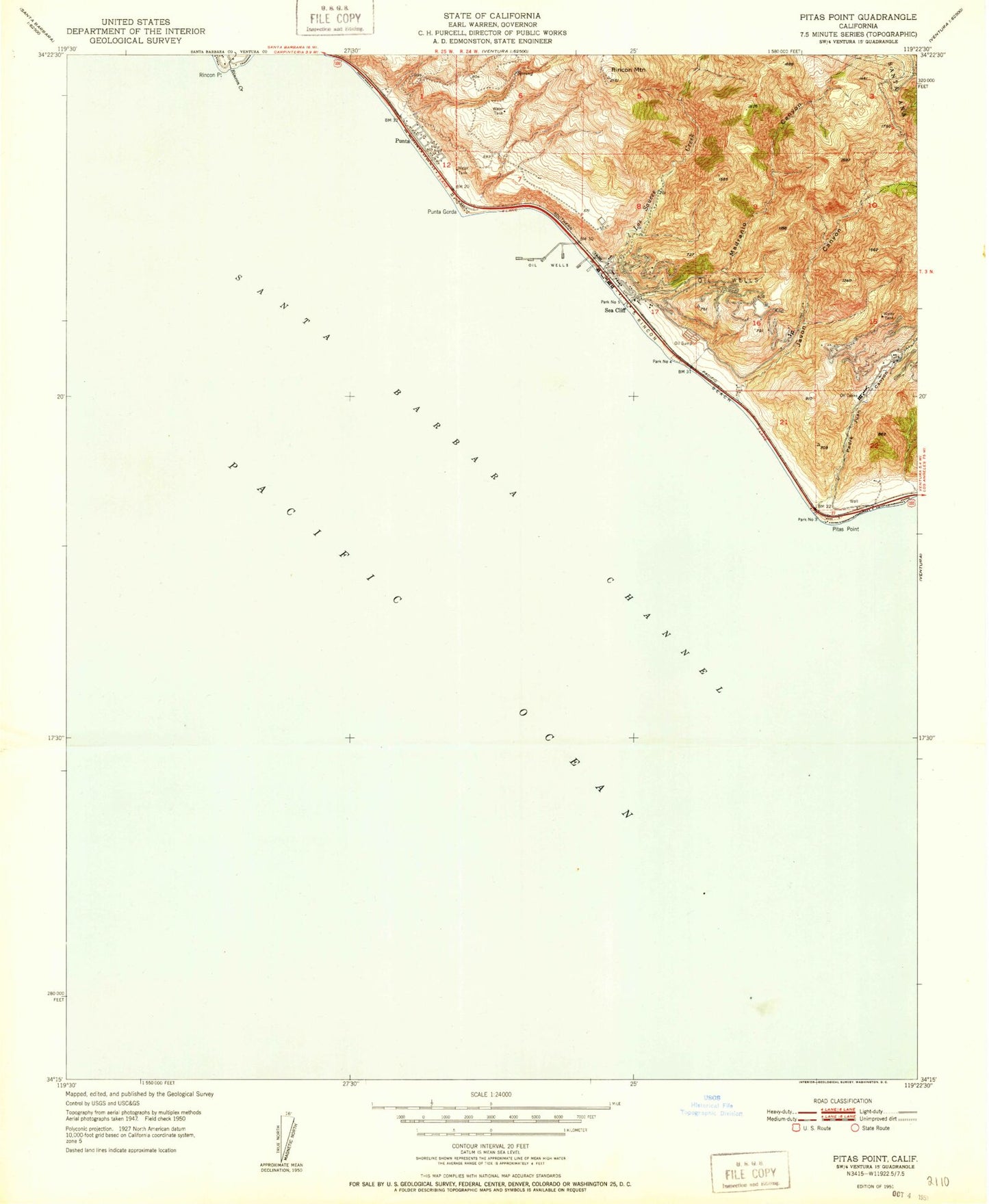
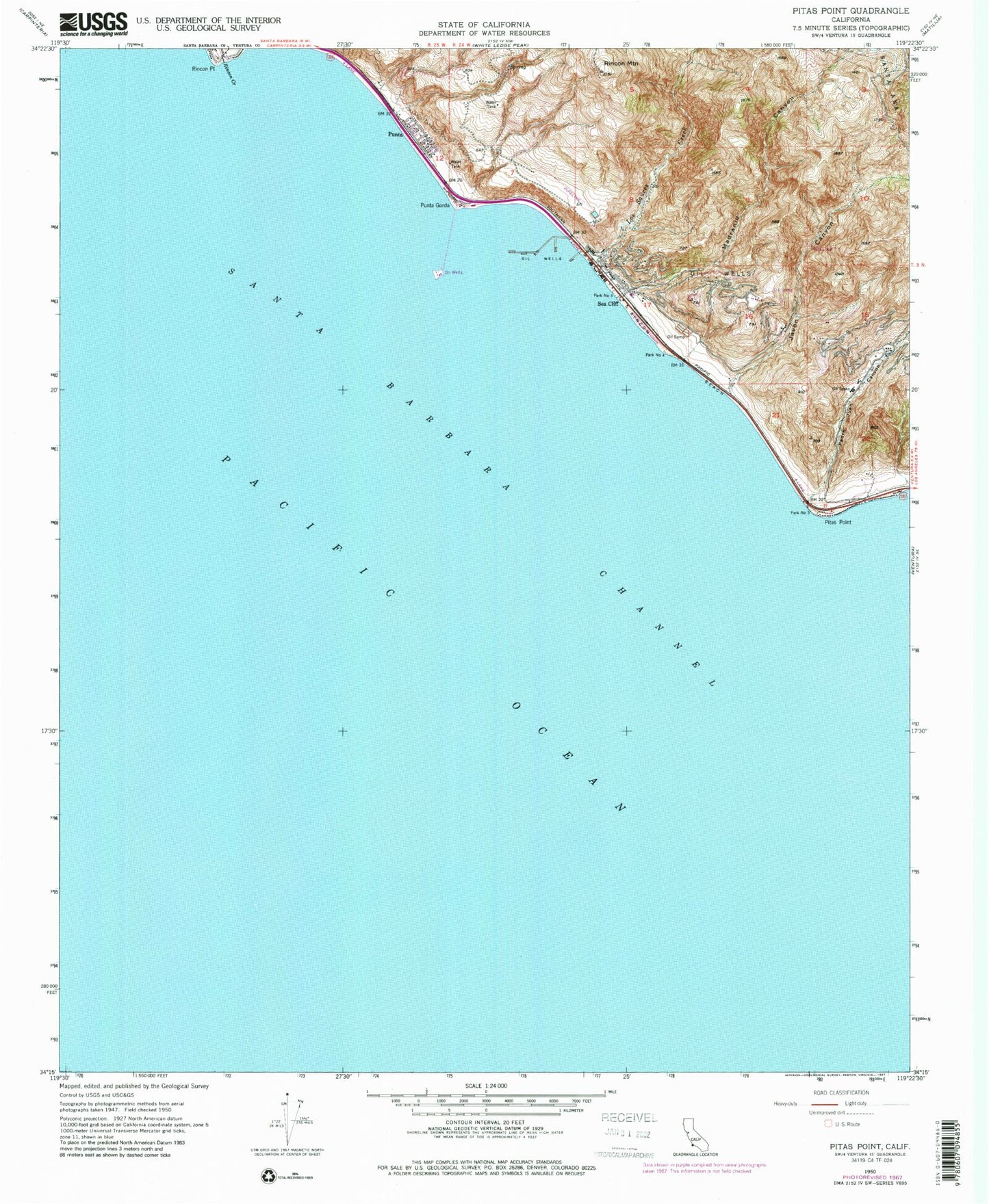
MyTopo
Classic USGS Pitas Point California 7.5'x7.5' Topo Map
Couldn't load pickup availability
Historical USGS topographic quad map of Pitas Point in the state of California. Map scale may vary for some years, but is generally around 1:24,000. Print size is approximately 24" x 27"
This quadrangle is in the following counties: Santa Barbara, Ventura.
The map contains contour lines, roads, rivers, towns, and lakes. Printed on high-quality waterproof paper with UV fade-resistant inks, and shipped rolled.
Contains the following named places: Faria, Faria County Park, Hobson County Park, Javon Canyon, La Conchita, La Conchita Beach, Los Pitos, Los Sauces Creek, Madranio Canyon, Mobil Pier, Mussel Shoals, Oil Piers Beach, Padre Juan Canyon, Park Number Five, Park Number Three, Pitas Point, Punta Gorda, Richfield Pier, Rincon, Rincon Beach, Rincon Creek, Rincon Island, Rincon Mountain, Rincon Point, Sea Cliff, Ventura County Fire Protection District Station 25 Rincon