MyTopo
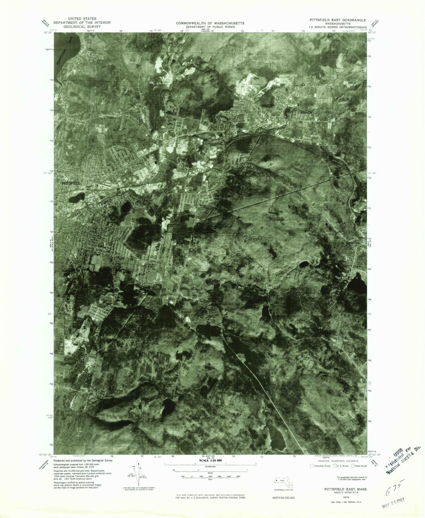
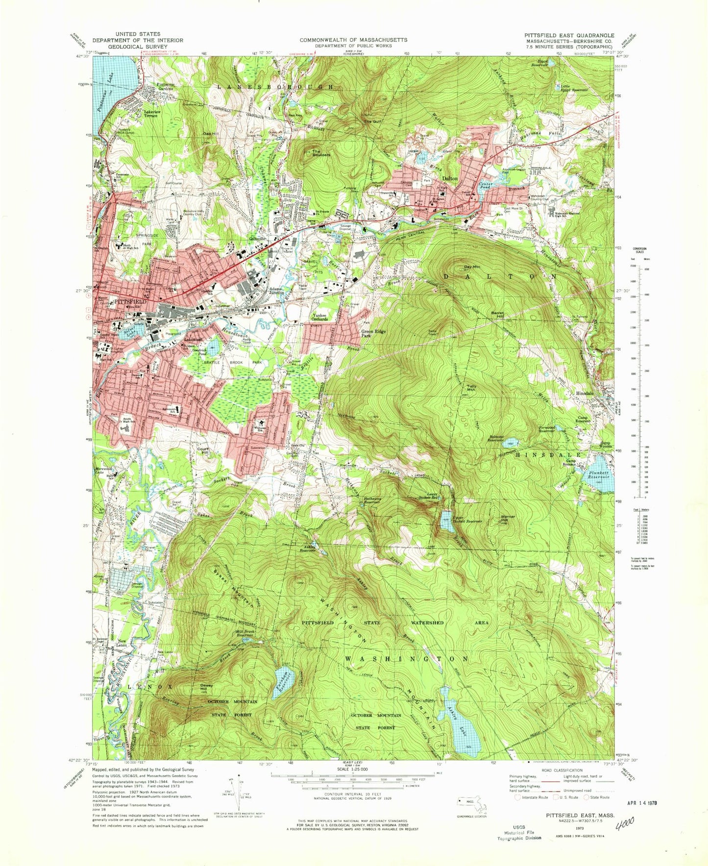
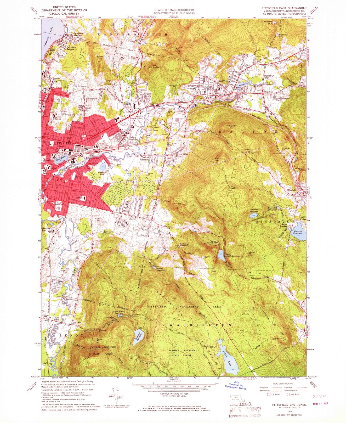
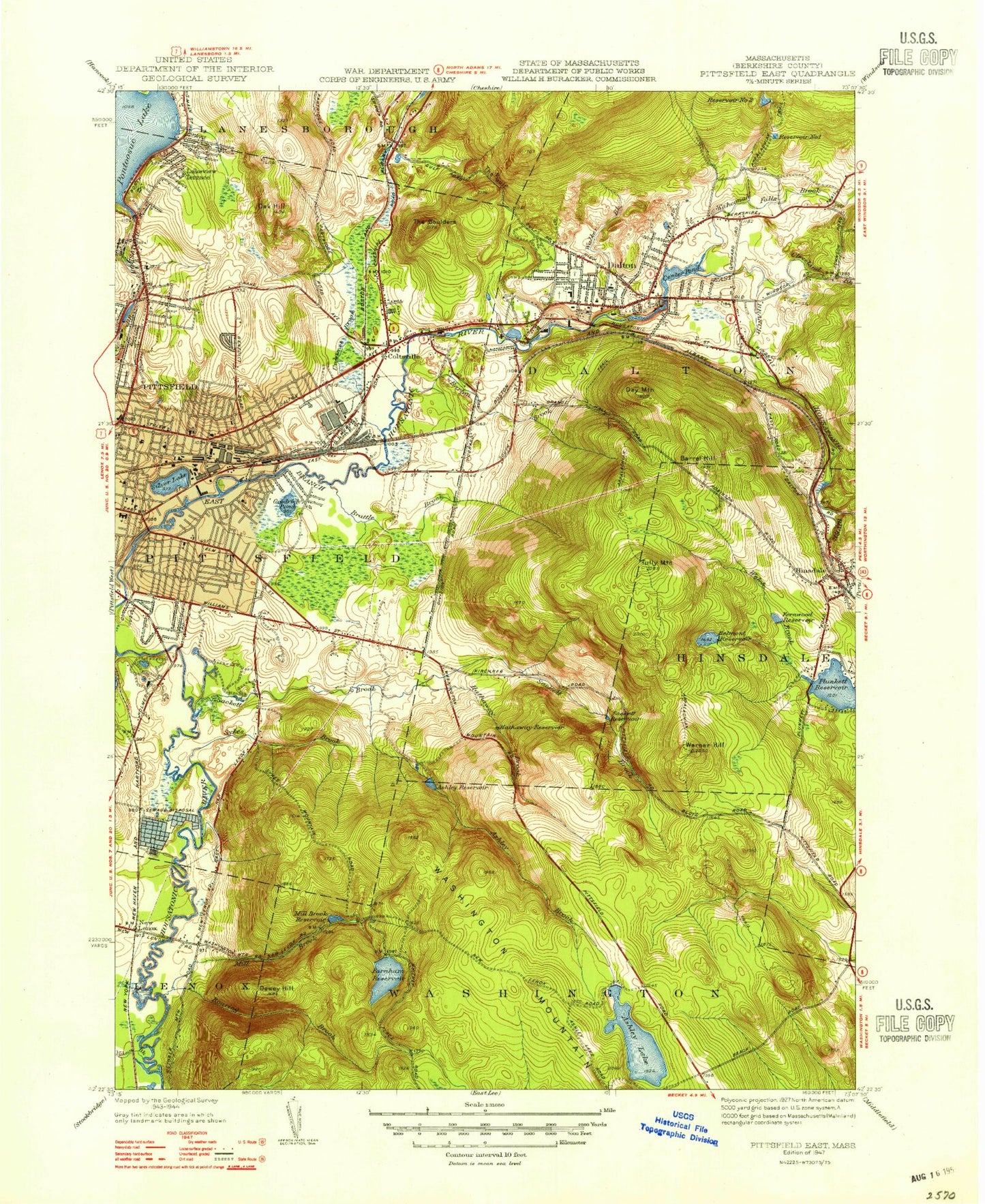
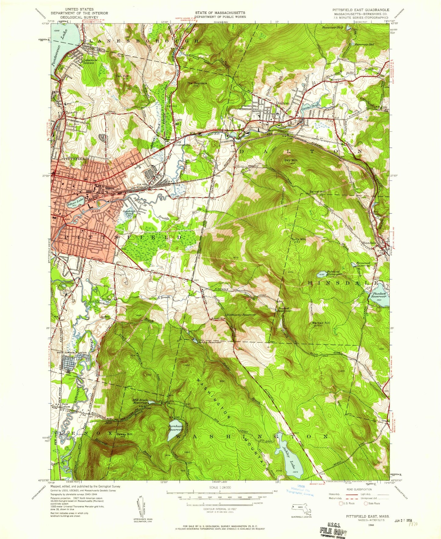
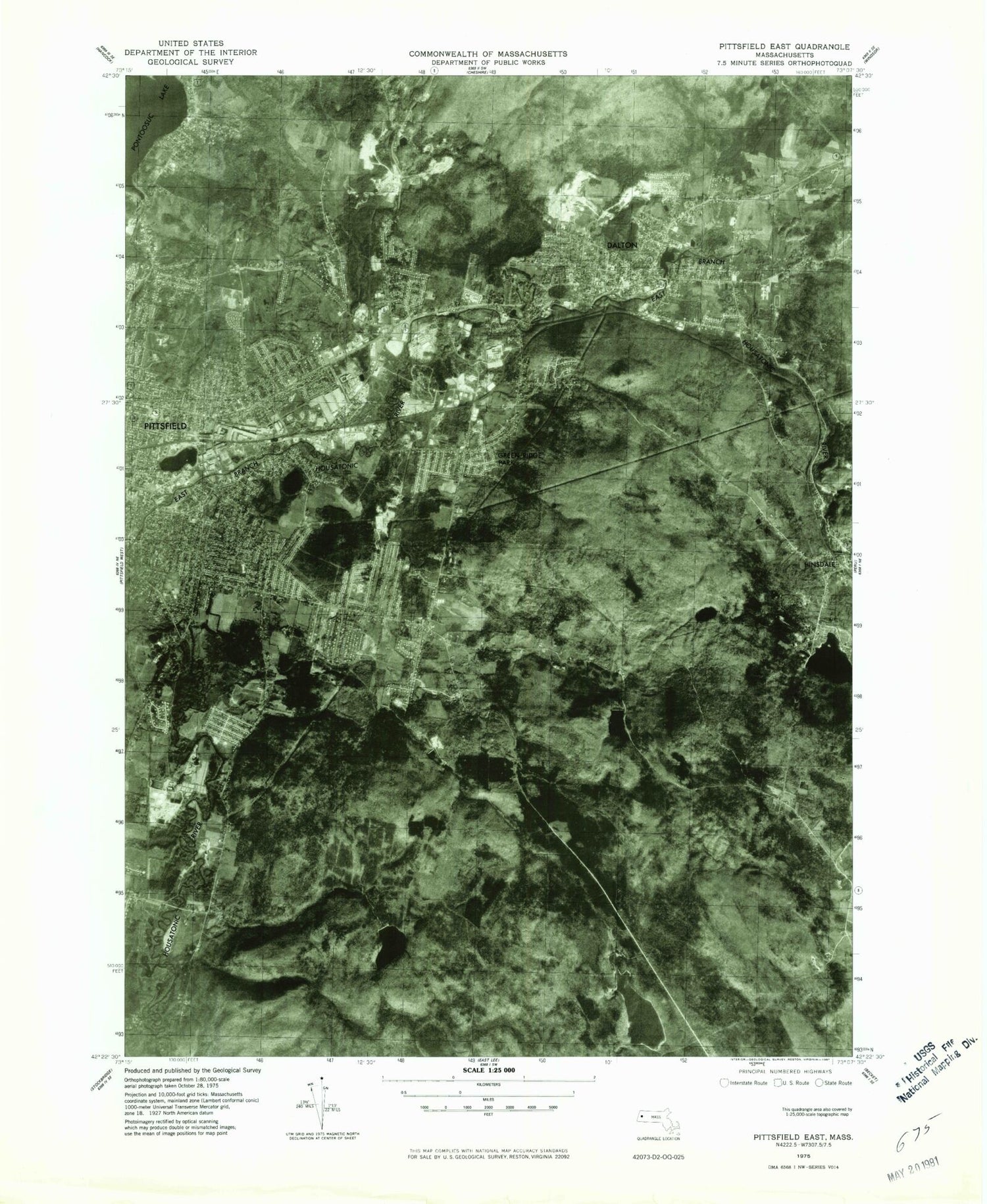
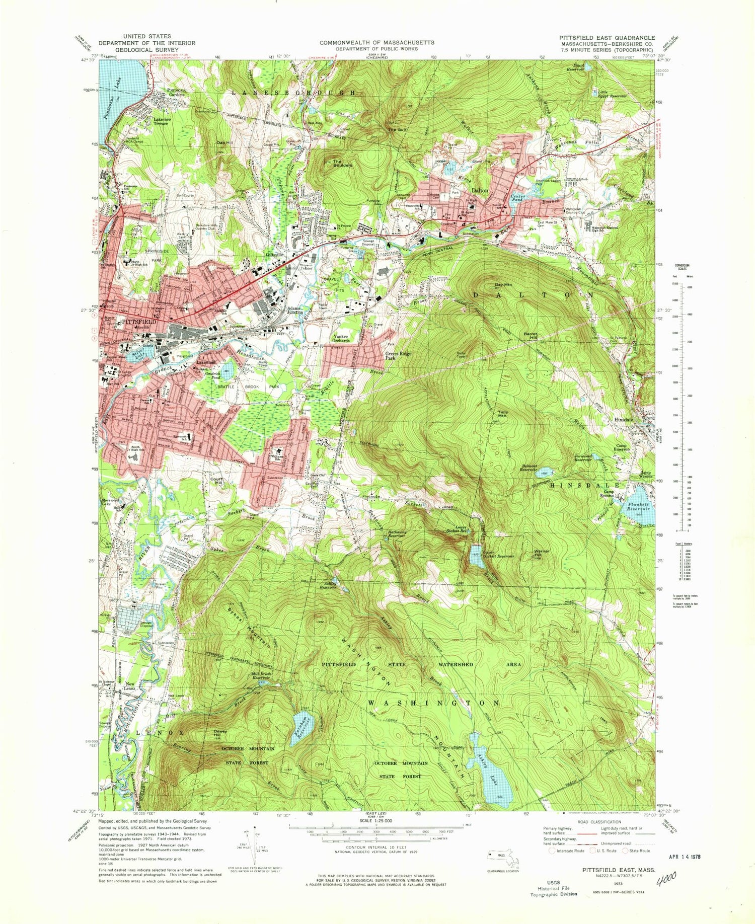
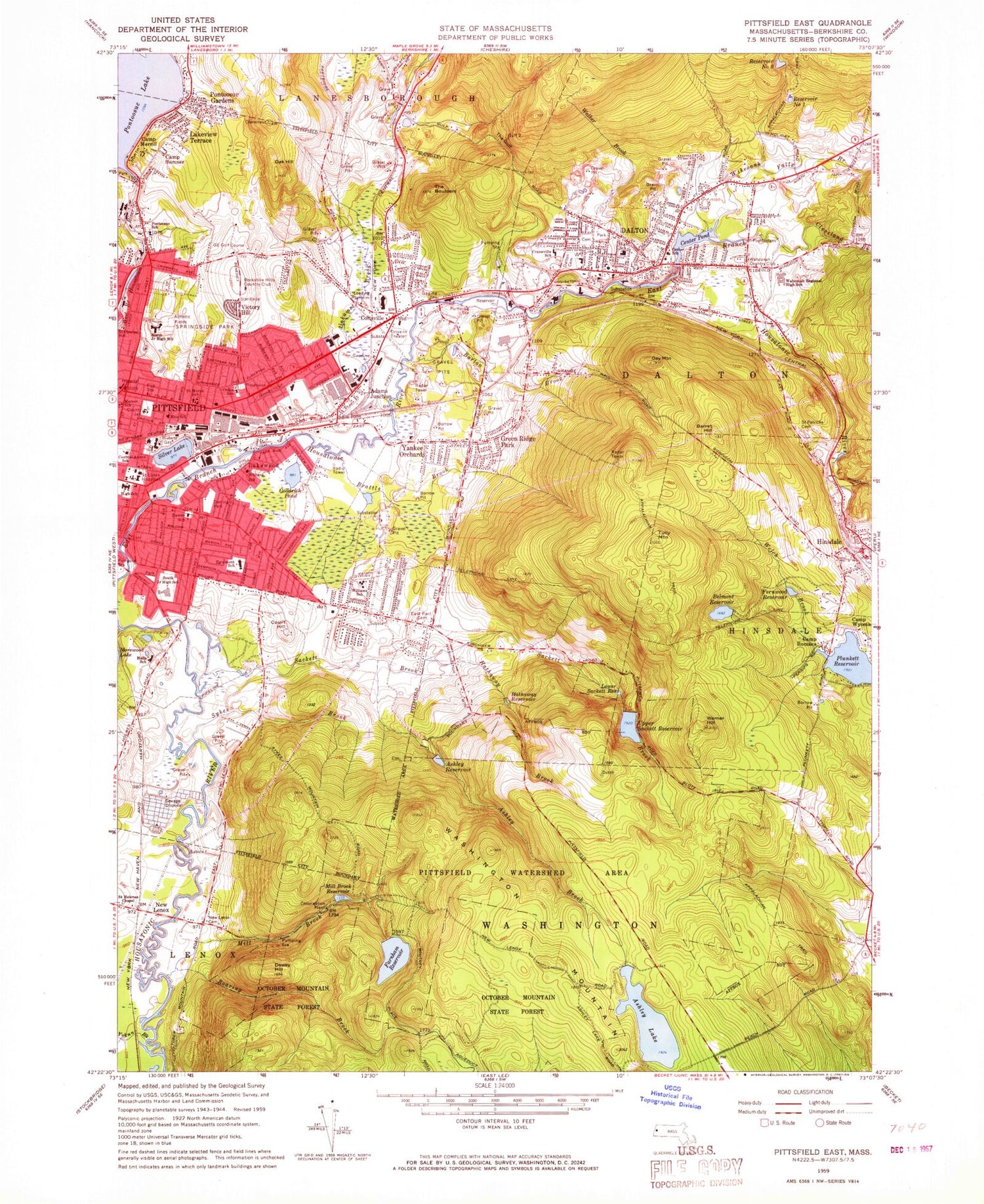
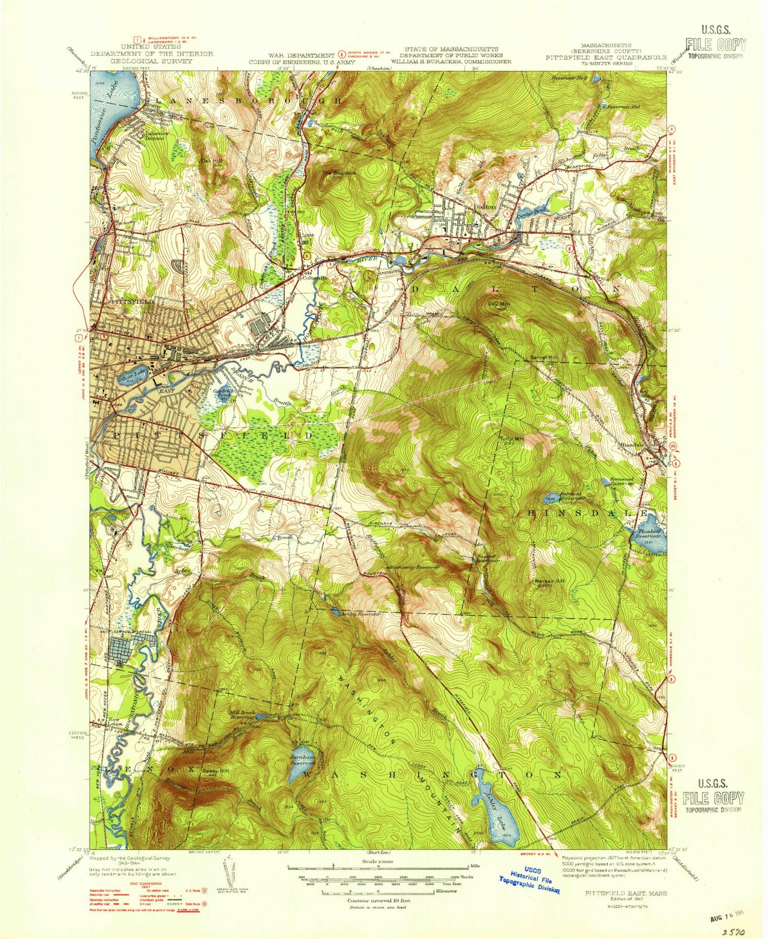
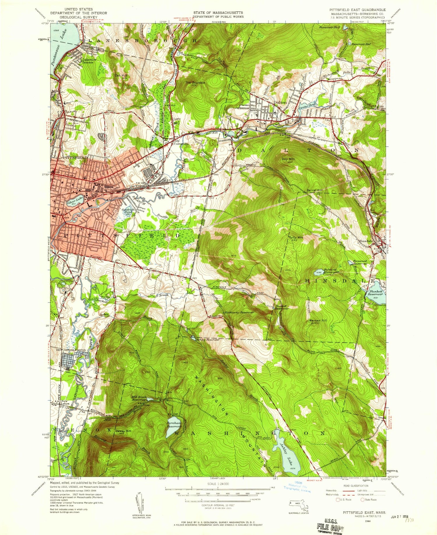
Classic USGS Pittsfield East Massachusetts 7.5'x7.5' Topo Map
Couldn't load pickup availability
Historical USGS topographic quad map of Pittsfield East in the state of Massachusetts. Typical map scale is 1:24,000, but may vary for certain years, if available. Print size: 24" x 27"
This quadrangle is in the following counties: Berkshire.
The map contains contour lines, roads, rivers, towns, and lakes. Printed on high-quality waterproof paper with UV fade-resistant inks, and shipped rolled.
Contains the following named places: Day Mountain, Tully Mountain, Pittsfield State Watershed Area, Saint Charles School, A-Z Shopping Center, Allendale Shopping Center, Pittsfield Mall, Dalton Townhall, American Legion Park, Wahconah County Club, Ponterril, Springside Park, Berkshire County Jail, Deming Park, Brattle Brook Park, Berkshire Hills Country Club, Belmont Reservoir Dam, East Branch Housatonic River Reservoir, Old Berkshire Mill Dam, Government Mill Dam, Bel Air Dam, West Branch Housatonic River Reservoir, Byron Weston Dam, Pontoosuc Lake Dam, Egypt Reservoir Dam, Crane Museum, Canoe Meadows Wildlife Sanctuary, John T Reid Middle School, Berkshire Elementary School, Saint Marys Church, Theodore Herberg Middle School, George L Darey Wildlife Management Area, Sackett Brook Park, Central Annex School (historical), Crane School (historical), Saint Patricks Cemetery, Adams Junction, Ashley Brook, Ashley Lake, Ashley Reservoir, Barton Brook, Belmont Reservoir, The Boulders, Brattle Brook, Camp Merrill, Camp Sumner, Center Pond, Cleveland Brook, Coltsville, Court Hill, Dalton, Dewey Hill, Farnham Reservoir, Fernwood Reservoir, Goodrich Pond, Green Ridge Park, The Gulf, Hathaway Brook, Hathaway Reservoir, Hinsdale, Lakeview Terrace, Lakewood, Lower Sackett Reservoir, Mill Brook, Mill Brook Reservoir, New Lenox, Oak Hill, Pittsfield, Plunkett Reservoir, Pontoosuc, Pontoosuc Gardens, Pontoosuc Lake, Egypt Reservoir, Little Egypt Reservoir, Roaring Brook, Camp Romaca, Sackett Brook, Silver Lake, Sykes Brook, Unkamet Brook, Upper Sackett Reservoir, Victory Hill, Wahconah Falls Brook, Walker Brook, Warner Hill, Welsh Brook, Camp Wyoma, Yankee Orchards, Yokun Brook, Washington Mountain, Sykes Mountain, Camp Emerson, Anthony Brook, New Lenox Cemetery, Saint Helenas Chapel, East Part Cemetery, Grace Church, Wahconah Regional High School, Dalton Center School (historical), Saint Agnes School, Dalton Junior High School, Main Street Cemetery, Fairview Cemetery, Craneville School, Saint Francis Church, Miss Hall's School, Williams School, South Junior High School (historical), Dawes School (historical), Hubbard School (historical), Pittsfield High School, Saint Lukes Hospital, Rice School, Allendale Elementary School, Saint Marys School (historical), North Junior High School (historical), Pontoosuc School (historical), WBRK-AM (Pittsfield), Advance Materials Corp Heliport, East Main Street Cemetery, Town of Dalton, Egremont School, Ashuelot Cemetery, Arrowhead, Berkshire County Softball Complex, Berkshire First Church of the Nazarene, Berkshire Full Gospel Church, Berkshire Mall Shopping Center, Berkshire Medical Center, Bradlees Plaza Shopping Center, Christian Assembly Church, The Church of Jesus Christ of Latter Day Saints, Crane Paper Museum, Dalton Avenue Plaza Shopping Center, Dalton Free Public Library, Dalton Grange Hall Number 23, Dalton Post Office, Dalton United Methodist Church, Downing Industrial Park, Faith Evangelical Lutheran Church, Federico Office Park, First Congregational Church, G E Athletic Association Golf Course, Grace Episcopal Church, Henry V Marchisio Memorial Park, Hibbard Alternative School, Hillcrest-Springside School, Hinsdale Post Office, Hinsdale Public Library, Masters Christian School, Morningside Baptist Church, Morningside Community School, Nessacus Middle School, Old Stone Mill (historical), Pilgrim Holiness Church, Pine Grove Park, Pittsfield Mall Shopping Center, Pittsfield Post Office, Sacred Heart School, Saint Martins Episcopal Church, Stop and Shop Plaza Shopping Center, The Boulders, United Methodist Church of Lenox, Zions Evangelical Lutheran Church, Dalton Fire Department, Pittsfield Fire Department Engine 2, Pittsfield Fire Department Engine 6, Dalton Ambulance and Rescue, Berkshire County Sheriff's Office, Dalton Police Department, Day Mountain, Tully Mountain, Pittsfield State Watershed Area, Saint Charles School, A-Z Shopping Center, Allendale Shopping Center, Pittsfield Mall, Dalton Townhall, American Legion Park, Wahconah County Club, Ponterril, Springside Park, Berkshire County Jail, Deming Park, Brattle Brook Park, Berkshire Hills Country Club, Belmont Reservoir Dam, East Branch Housatonic River Reservoir, Old Berkshire Mill Dam, Government Mill Dam, Bel Air Dam, West Branch Housatonic River Reservoir, Byron Weston Dam, Pontoosuc Lake Dam, Egypt Reservoir Dam, Crane Museum, Canoe Meadows Wildlife Sanctuary, John T Reid Middle School, Berkshire Elementary School, Saint Marys Church, Theodore Herberg Middle School, George L Darey Wildlife Management Area, Sackett Brook Park, Central Annex School (historical), Crane School (historical), Saint Patricks Cemetery, Adams Junction, Ashley Brook, Ashley Lake, Ashley Reservoir, Barton Brook, Belmont Reservoir, The Boulders, Brattle Brook, Camp Merrill, Camp Sumner, Center Pond, Cleveland Brook, Coltsville, Court Hill, Dalton, Dewey Hill, Farnham Reservoir, Fernwood Reservoir, Goodrich Pond, Green Ridge Park, The Gulf, Hathaway Brook, Hathaway Reservoir, Hinsdale, Lakeview Terrace, Lakewood, Lower Sackett Reservoir, Mill Brook, Mill Brook Reservoir, New Lenox
