MyTopo
Classic USGS Pittsview Alabama 7.5'x7.5' Topo Map
Couldn't load pickup availability
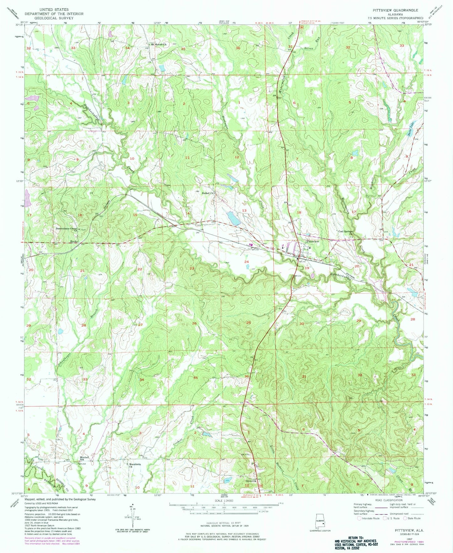
Historical USGS topographic quad map of Pittsview in the state of Alabama. Map scale may vary for some years, but is generally around 1:24,000. Print size is approximately 24" x 27"
This quadrangle is in the following counties: Barbour, Russell.
The map contains contour lines, roads, rivers, towns, and lakes. Printed on high-quality waterproof paper with UV fade-resistant inks, and shipped rolled.
Contains the following named places: B B Burts Dam, Balfore Lake Dam, Benevolence Grove Church, Bethel Church, Burkes Lake Dam, Burts Lake, Comers Pond, Cool Springs Baptist Church, Cottonton-Seale Division, Glenville, Glenville Historic District, Hooks, John O'Neall Dam, Macedonia Church, Mitchell Church, Mitchell Creek, Mitchell School, Mount Moriah Church, Perrys Well, Pittsview, Pittsview Cemetery, Pittsview Post Office, Pittsview Volunteer Fire Department, Silver Run, Thompsons Store, Watermelon Creek, Weolustee Creek, ZIP Code: 36871