MyTopo
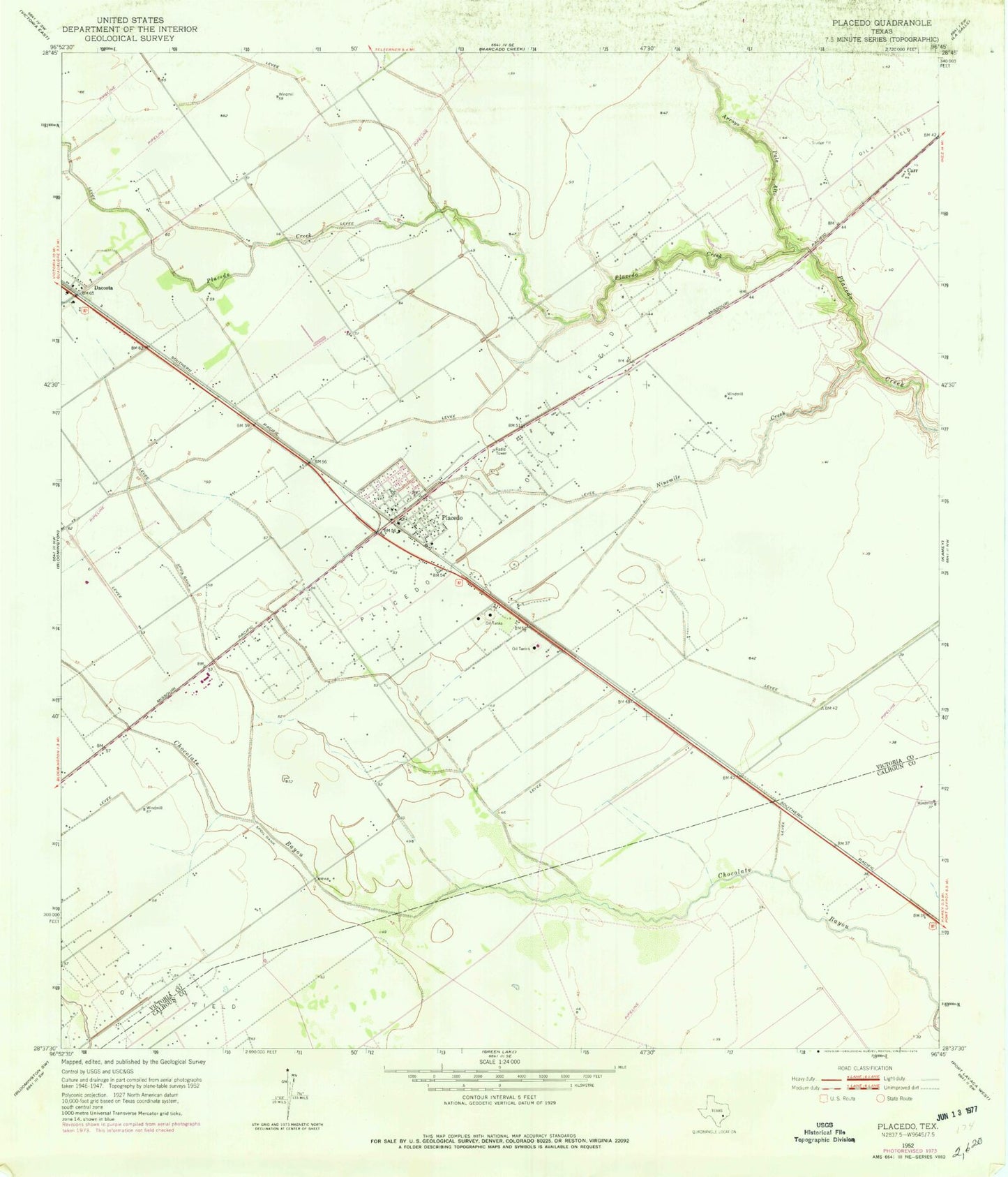
Classic USGS Placedo Texas 7.5'x7.5' Topo Map
Couldn't load pickup availability
Historical USGS topographic quad map of Placedo in the state of Texas. Map scale may vary for some years, but is generally around 1:24,000. Print size is approximately 24" x 27"
This quadrangle is in the following counties: Calhoun, Victoria.
The map contains contour lines, roads, rivers, towns, and lakes. Printed on high-quality waterproof paper with UV fade-resistant inks, and shipped rolled.
Contains the following named places: Arroyo Palo Alto, Bloomington High School, Bloomington Junior High School, Carr, Dacosta, Dacosta Volunteer Fire Department, Ninemile Creek, Placedo, Placedo Census Designated Place, Placedo Elementary School, Placedo Oil Field, Placedo Post Office, Placedo Volunteer Fire Department, Victoria South Division, ZIP Code: 77977