MyTopo
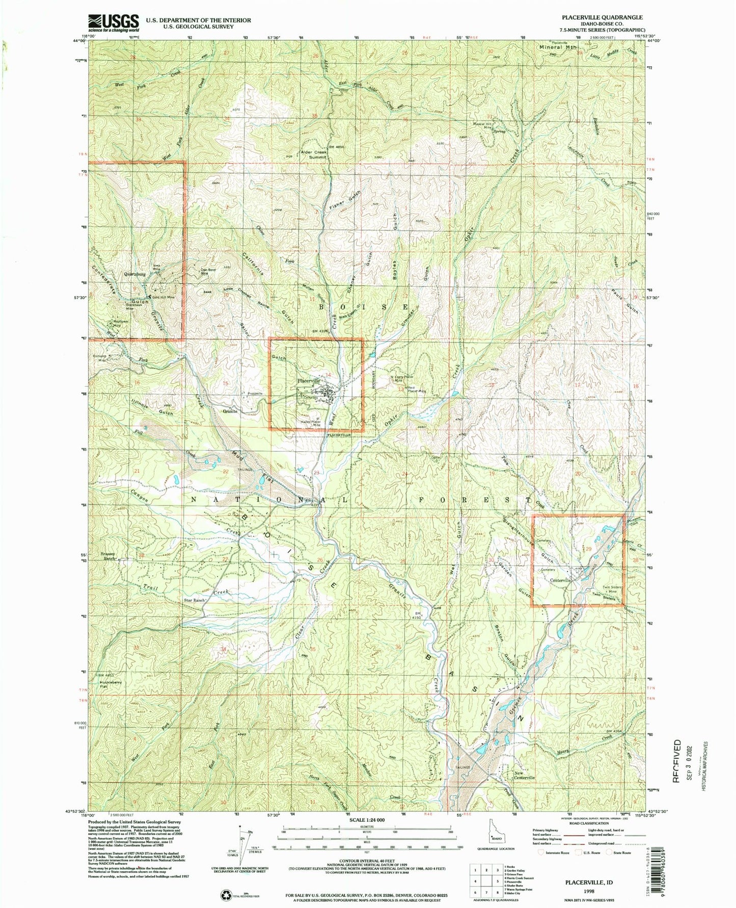
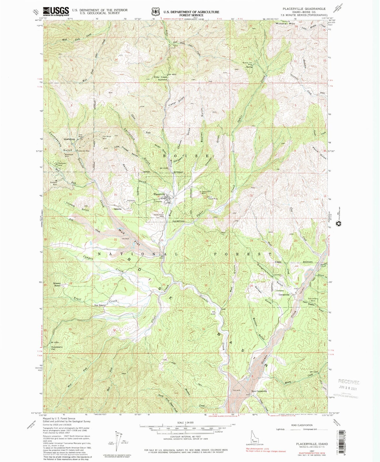
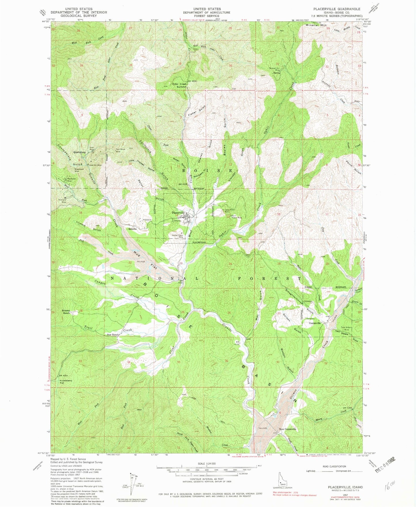
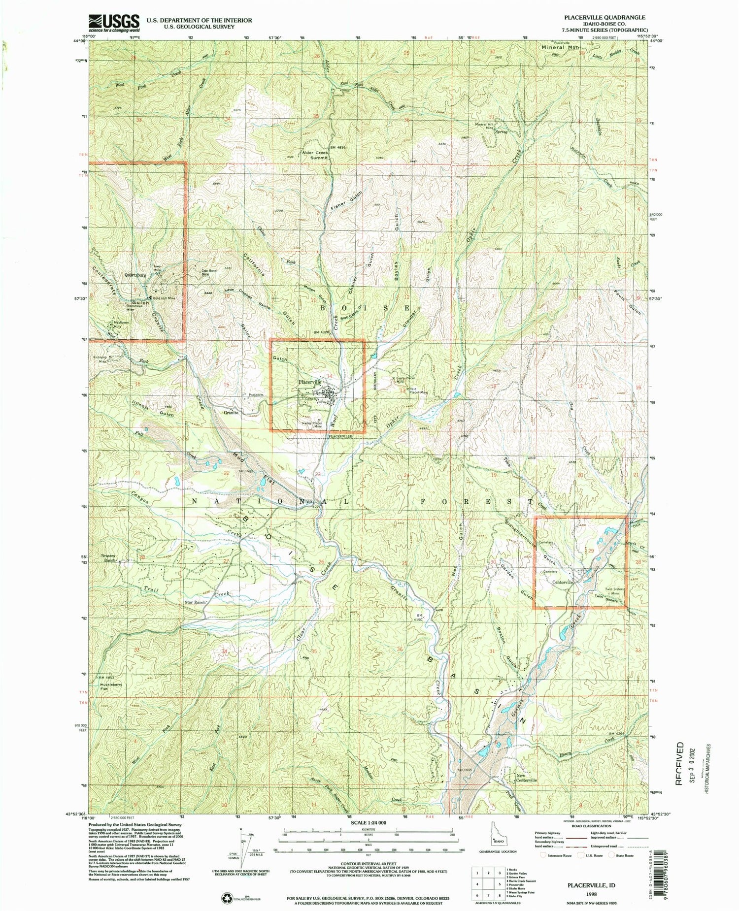
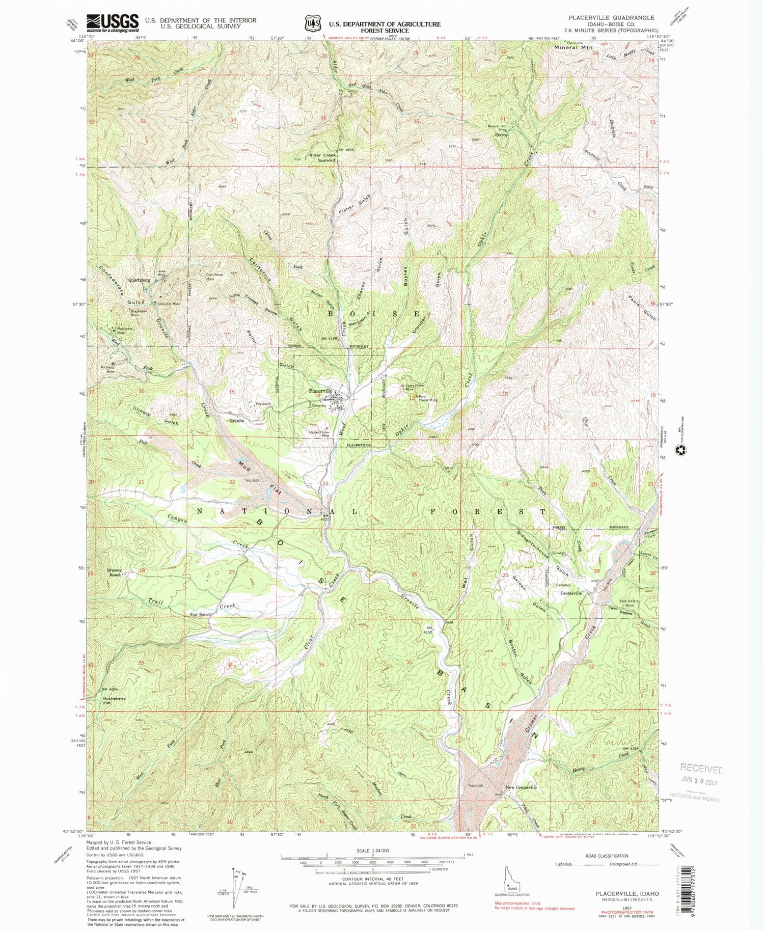
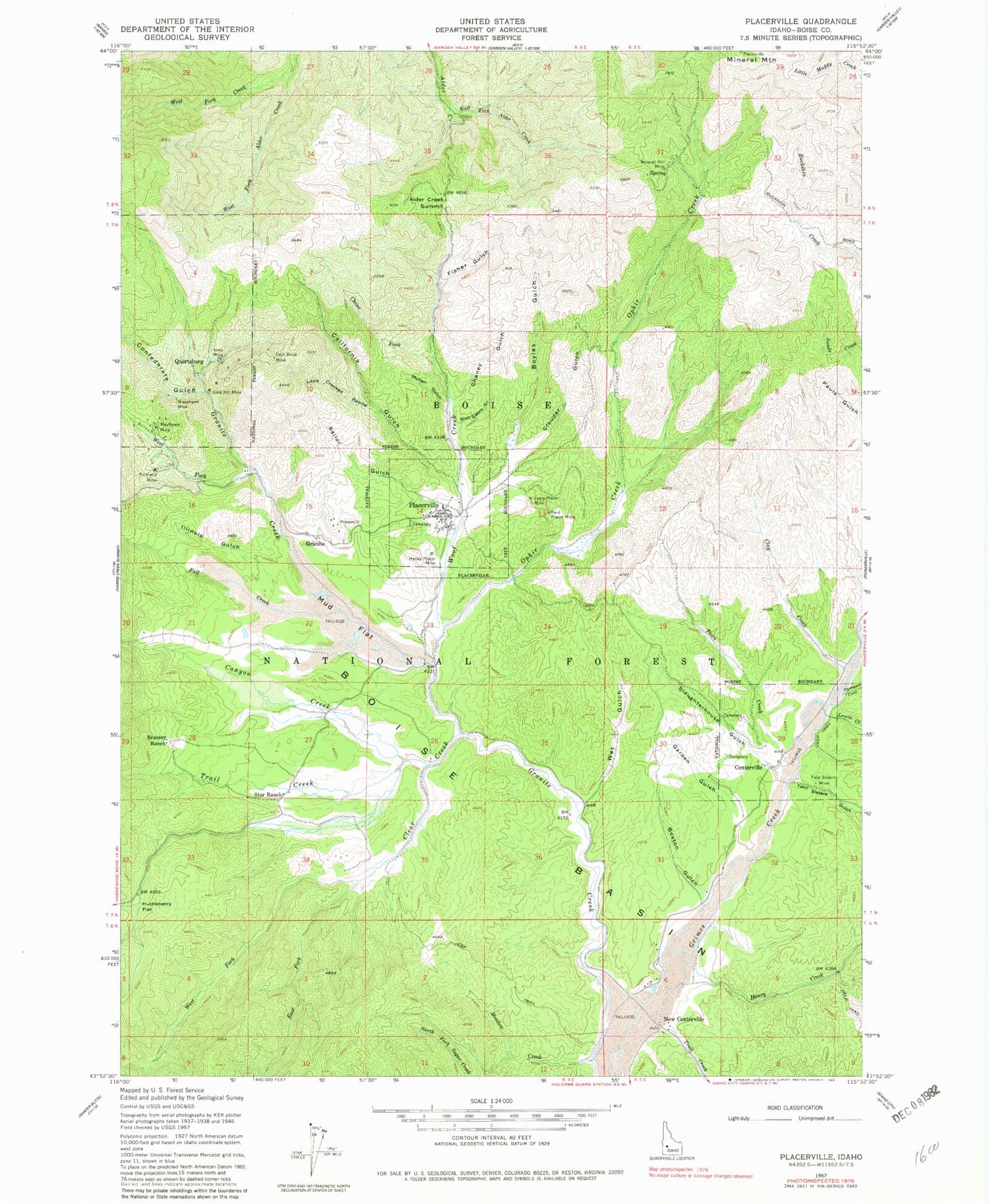
Classic USGS Placerville Idaho 7.5'x7.5' Topo Map
Couldn't load pickup availability
Historical USGS topographic quad map of Placerville in the state of Idaho. Map scale may vary for some years, but is generally around 1:24,000. Print size is approximately 24" x 27"
This quadrangle is in the following counties: Boise.
The map contains contour lines, roads, rivers, towns, and lakes. Printed on high-quality waterproof paper with UV fade-resistant inks, and shipped rolled.
Contains the following named places: Alder Creek Summit, Blackhawk Mine, Boise Basin, Boston Gulch, Boyles Gulch, Brassey Ranch, California Gulch, Canyon Creek, Centerville, Centerville Volunteer Fire Department, Chaney Gulch, China Fork, City of Placerville, Clay Creek, Clear Creek, Clouder Gulch, Coin Bond Mine, Confederate Gulch, East Fork Alder Creek, East Fork Clear Creek, Fall Creek, Fisher Gulch, Garden Gulch, Gold Hill Mine, Granite, Grimes Creek Ponds Access Area, Halley Placer Mine, Henry Creek, Huckleberry Flat, Illinois Gulch, Iowa Mine, Leary Placer Mine, Lewis Creek, Little Crooked Ravine, Mayflower Mine, Meadow Creek, Mineral Hill Mine, Mud Flat, Mullen Gulch, New Centerville, Ophir Creek, Placerville, Placerville Ambulance, Placerville Cemetery, Placerville Fire Protection District, Quartzburg, Reid Placer Mine, Richland Mine, Sailor Gulch, Slab Cabin Gulch, Slaughterhouse Gulch, Star Ranch, Star Ranch Summer Home Area, Thompson Creek, Town Creek, Trail Creek, Treasure Gulch Airport, Twin Sisters Gulch, Twin Sisters Mine, West Fork Clear Creek, West Fork Creek, West Fork Granite Creek, Wet Gulch, Woof Creek, ZIP Code: 83666
