MyTopo
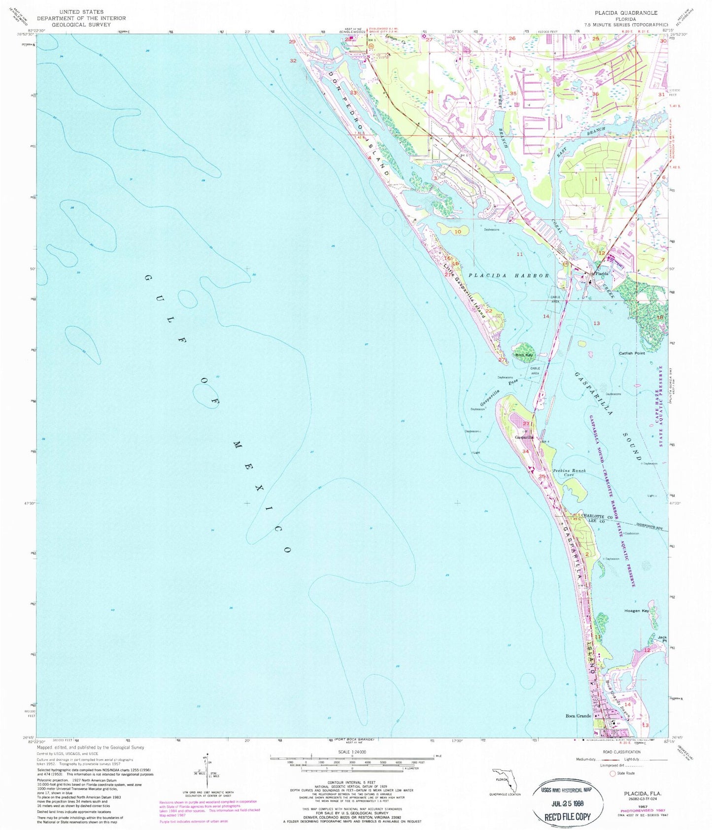
Classic USGS Placida Florida 7.5'x7.5' Topo Map
Couldn't load pickup availability
Historical USGS topographic quad map of Placida in the state of Florida. Typical map scale is 1:24,000, but may vary for certain years, if available. Print size: 24" x 27"
This quadrangle is in the following counties: Charlotte, Lee.
The map contains contour lines, roads, rivers, towns, and lakes. Printed on high-quality waterproof paper with UV fade-resistant inks, and shipped rolled.
Contains the following named places: Bird Key, Boca Grande Bayou, Cape Haze, Catfish Point, Coral Creek, Don Pedro Island, East Branch Coral Creek, Gasparilla Island, Gasparilla Pass, Gasparilla Sound, Hoagen Key, Jack Point, Little Gasparilla Island, Peekins Ranch Cove, Placida, Placida Harbor, West Branch Coral Creek, Gasparilla, Little Gasparilla Pass (historical), Rotunda-West, Rambler Hole, Coral Creek Airport, WSEB-FM (Englewood), Grove City-Rotonda Division, Don Pedro Island State Park, Charlotte County Fire / EMS Station 14, Amberjack Cove, Blue Heron Cove, Bocilla Inlet, Captains Cut, Coral Cove, Galleon Cove, Lemon Lake, Pelican Bay, Englewood Area Fire Control District Station 76, Gasparilla Island Fire and Rescue, Boca Grande Post Office, Placida Post Office


