MyTopo
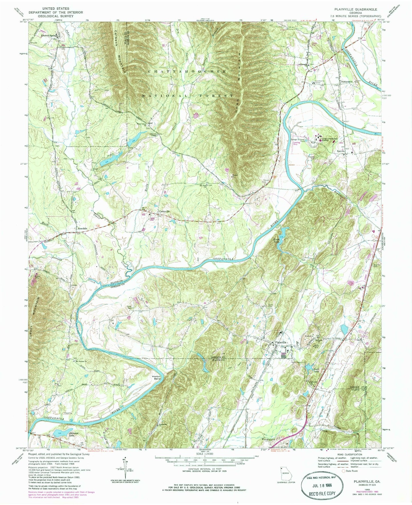
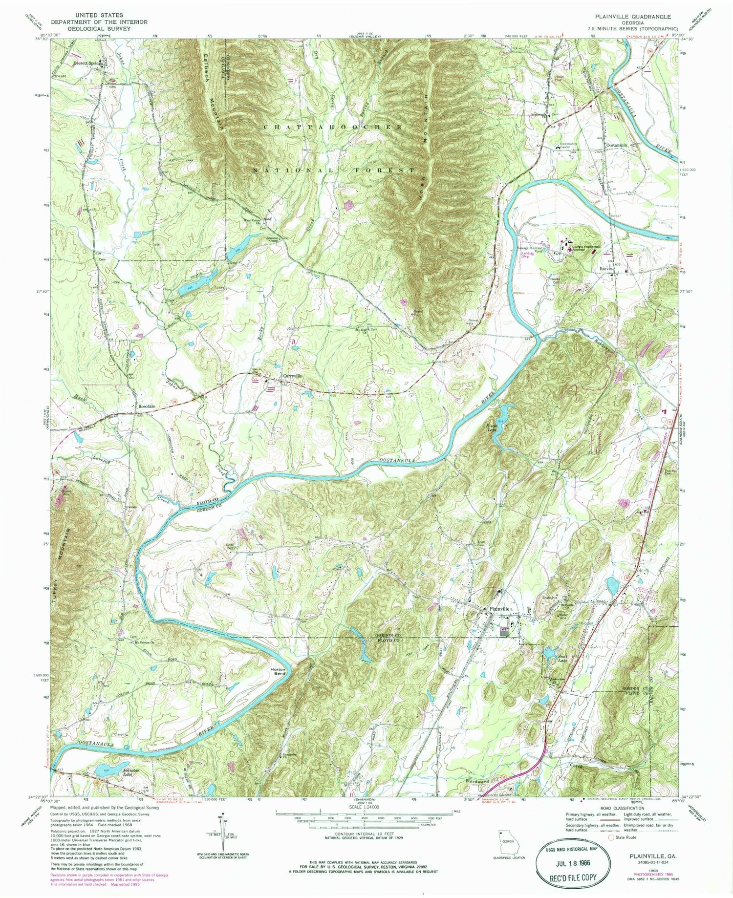
Classic USGS Plainville Georgia 7.5'x7.5' Topo Map
Couldn't load pickup availability
Historical USGS topographic quad map of Plainville in the state of Georgia. Map scale may vary for some years, but is generally around 1:24,000. Print size is approximately 24" x 27"
This quadrangle is in the following counties: Bartow, Floyd, Gordon.
The map contains contour lines, roads, rivers, towns, and lakes. Printed on high-quality waterproof paper with UV fade-resistant inks, and shipped rolled.
Contains the following named places: Bell Ferry, Bethesda Church, Blalocks Ferry, City of Plainville, Curryville, Curryville Church, Dodd Cemetery, Dry Creek, Everett Springs, Everett Springs Baptist Church, Franklin Cemetery, Georgia - Cumberland Academy, Gordon County Fire and Rescue Department Station 3, Gordon County Fire and Rescue Department Station 4, Hickory Grove School, Horton Bend, John L Coble Elementary School, Johns Creek, Johnson Ferry, Johnson Spring, Johnston Chapel, Johnston Lake, Johnston Lake Dam, King Cemetery, Kings Lake, Kings Lake Dam, Lakeview Church, Lovejoy Creek, Margie, Margie School, Moores Ferry, Mount Pleasant Baptist Church, Mount Pleasant Cemetery, Mount Vernon Cemetery, Mount Vernon Church, Mount Zion Church, Muck Creek, New Everett Springs Cemetery, New Hope Cemetery, New Hope Church, Old Everett Springs Cemetery, Oostanaula, Oostanaula Church, Oostanaula School, Plainville, Plainville Consolidated School, Plainville Post Office, Plainville Road Cemetery, Poplar Spring School, Printup Ferry, Reeves, Reeves Baptist Church, Reeves Cemetery, Riverside Airport, Robbins Creek, Rocky Creek, Rosedale, Rutledge Lake, Rutledge Lake Dam, Scott Cemetery, Scott Lake, Scott Lake Dam, Spring Branch, Sunnyside Church, Todd Lake, Todd Lake Dam, Turkey Mountain, W L Swain Elementary School, Warren, West Union Church, ZIP Code: 30733


