MyTopo
Classic USGS Plainville Kansas 7.5'x7.5' Topo Map
Couldn't load pickup availability
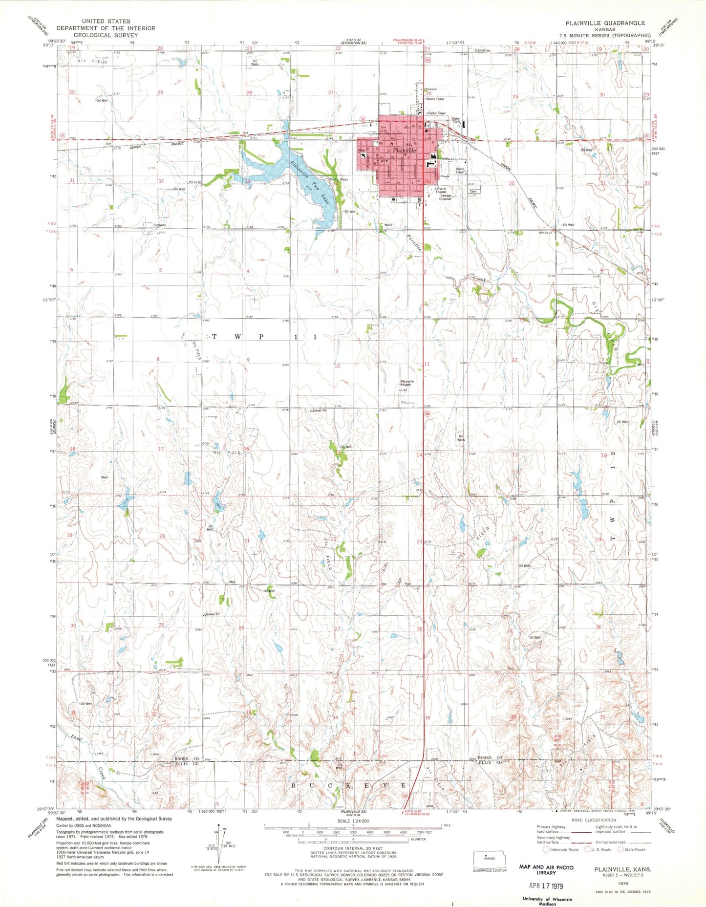
Historical USGS topographic quad map of Plainville in the state of Kansas. Map scale may vary for some years, but is generally around 1:24,000. Print size is approximately 24" x 27"
This quadrangle is in the following counties: Ellis, Rooks.
The map contains contour lines, roads, rivers, towns, and lakes. Printed on high-quality waterproof paper with UV fade-resistant inks, and shipped rolled.
Contains the following named places: City of Plainville, First Baptist Church, First Christian Church, First Lutheran Church, Harvest Christian Fellowship, Plainville, Plainville Airpark, Plainville Ambulance Service, Plainville Cemetery, Plainville Church of the Nazarene, Plainville City Hall, Plainville Elementary School, Plainville High School, Plainville Memorial Library, Plainville Police Department, Plainville Post Office, Plainville Rural Fire Department, Plainville Saddle Club Arena, Plainville Township Lake, Plainville United Methodist Church, Plainville Wastewater Plant, Rooks County Health Center, Sacred Heart Catholic Church, Sacred Heart Elementary School, Township 11, ZIP Code: 67663