MyTopo
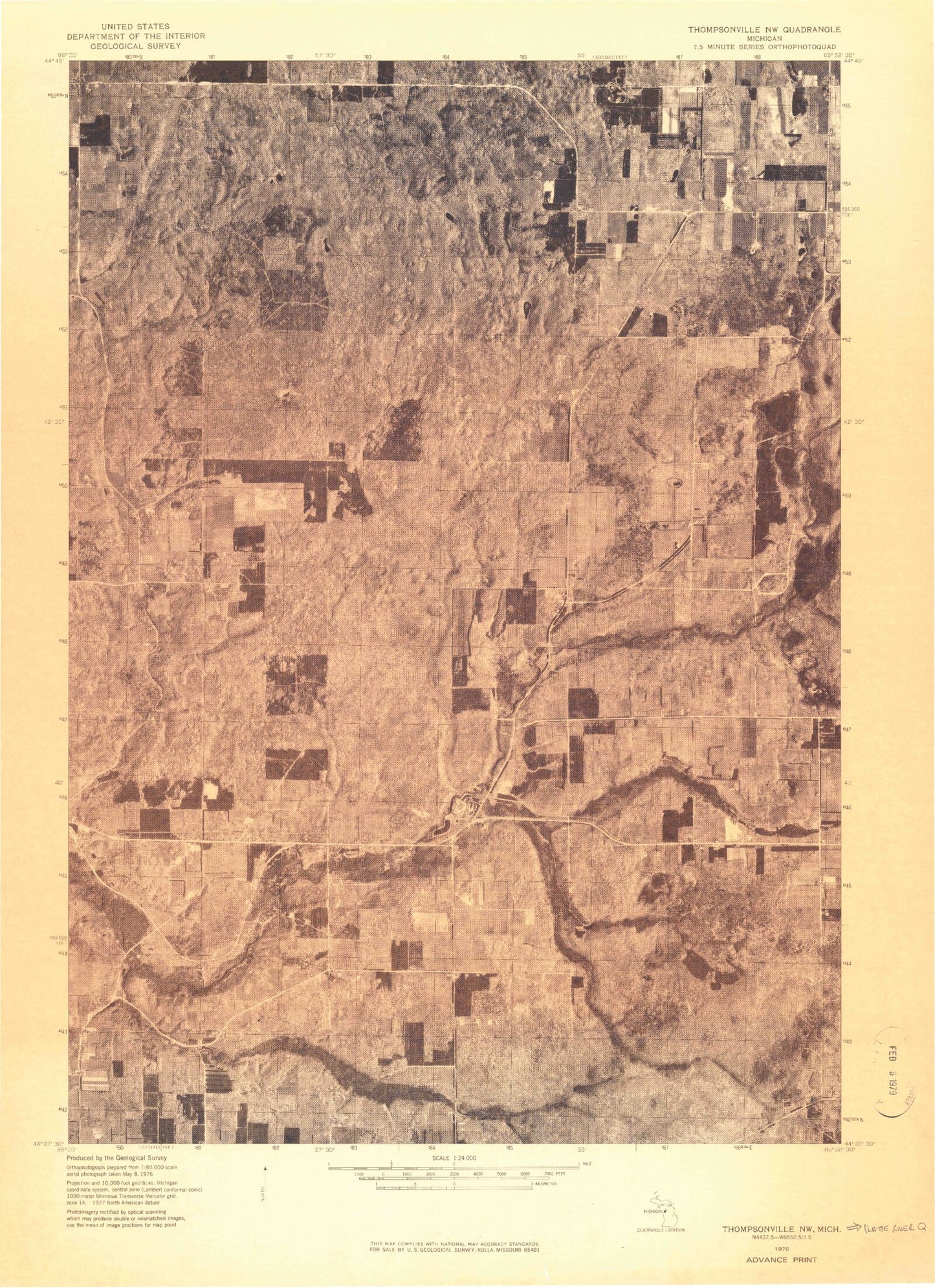
Classic USGS Platte River Michigan 7.5'x7.5' Topo Map
Couldn't load pickup availability
Historical USGS topographic quad map of Platte River in the state of Michigan. Map scale may vary for some years, but is generally around 1:24,000. Print size is approximately 24" x 27"
This quadrangle is in the following counties: Benzie.
The map contains contour lines, roads, rivers, towns, and lakes. Printed on high-quality waterproof paper with UV fade-resistant inks, and shipped rolled.
Contains the following named places: Allyn, Almira Cemetery, Almira Church, Almira Post Office, Almira School, Almira Township Volunteer Fire Department, Bear Lake Christian Church, Bell Lake, Benzie County Emergency Medical Services House 2, Bronson Lake, Brundage Cemetery, Brundage Creek, Camp Chenaniah, Carter Creek, Case Bridge, Clarks Mill, Drake School, Eliza Lake, Elm Grove Church, Harvey Lake, Haze Bridge, Honor Congregation of Jehovah's Witnesses, Hooker Lake, Kinney Creek, Lake Ann Airway Estates Airport, Lake Ann Camp, Lake Louise, Lower Woodcock Lake, Memorial Park, Michigan Department of Natural Resources Platte River Office, Mistwood Golf Course, Northstar Mobile Home Park, Pacific Salmon Historical Marker, Pere Marquette State Forest, Pigeon Lake, Platte River, Platte River Campground, Platte River State Fish Hatchery, Platte Springs, Platte Township Hall, Reorganized Church, Stanley Creek, Sunnywoods Resort and Campground, Tarnwood Lake, Township of Almira, Township of Homestead, Township of Inland, Township of Platte, Upper Woodcock Lake, Veterans Park, Woodside Wesleyan Church, ZIP Code: 49650