MyTopo
Classic USGS Pleasant Prairie NW Montana 7.5'x7.5' Topo Map
Regular price
$16.95
Regular price
Sale price
$16.95
Unit price
per
Couldn't load pickup availability
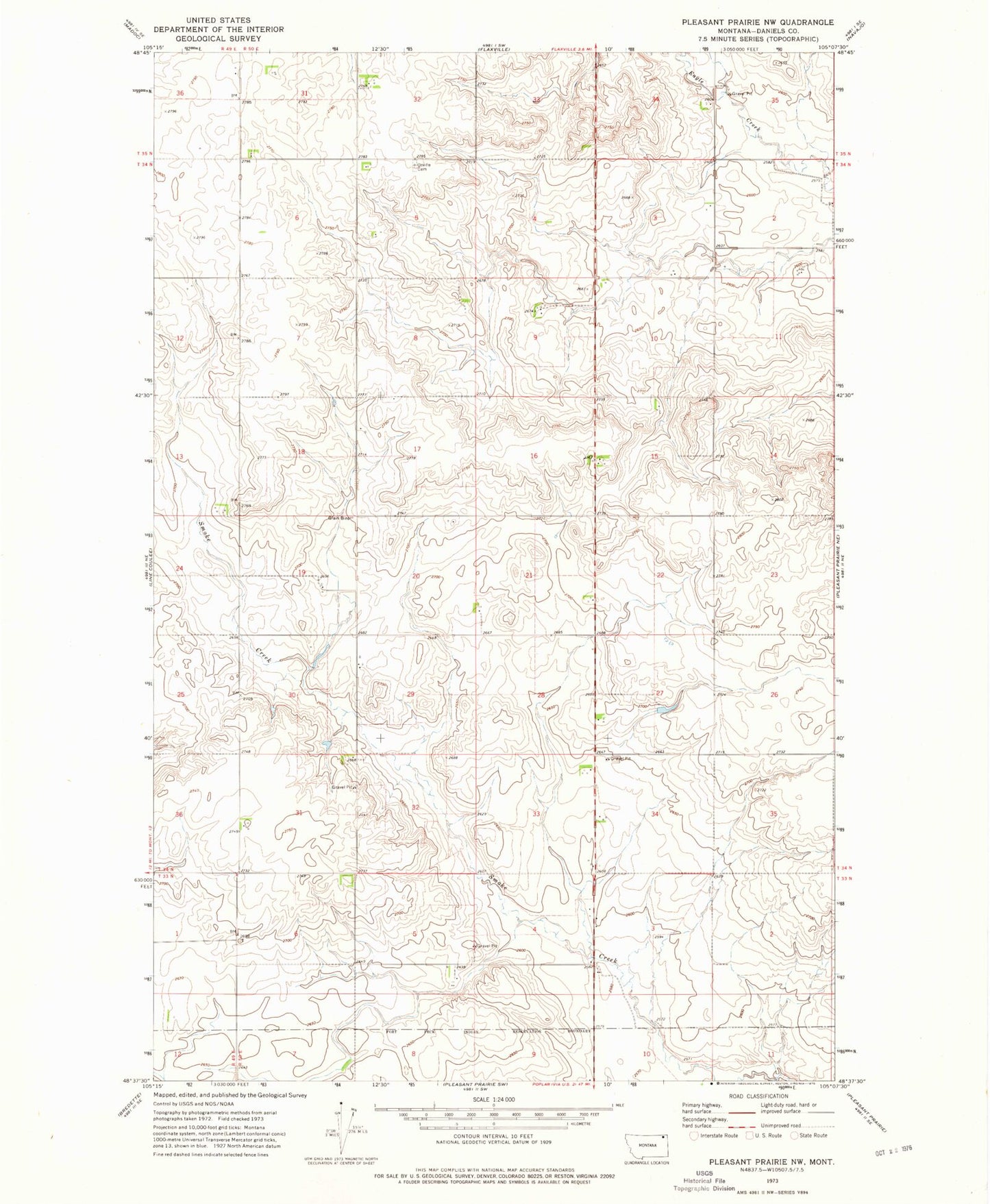
Historical USGS topographic quad map of Pleasant Prairie NW in the state of Montana. Map scale may vary for some years, but is generally around 1:24,000. Print size is approximately 24" x 27"
This quadrangle is in the following counties: Daniels.
The map contains contour lines, roads, rivers, towns, and lakes. Printed on high-quality waterproof paper with UV fade-resistant inks, and shipped rolled.
Contains the following named places: 35N50E31CCCD01 Well, 35N50E34DAAA01 Well, Hay Creek, Higgins and Tryan Dam, Orville Cemetery, Zion Lutheran Church