MyTopo
Classic USGS Pleasant Prairie SW Montana 7.5'x7.5' Topo Map
Regular price
$16.95
Regular price
Sale price
$16.95
Unit price
per
Couldn't load pickup availability
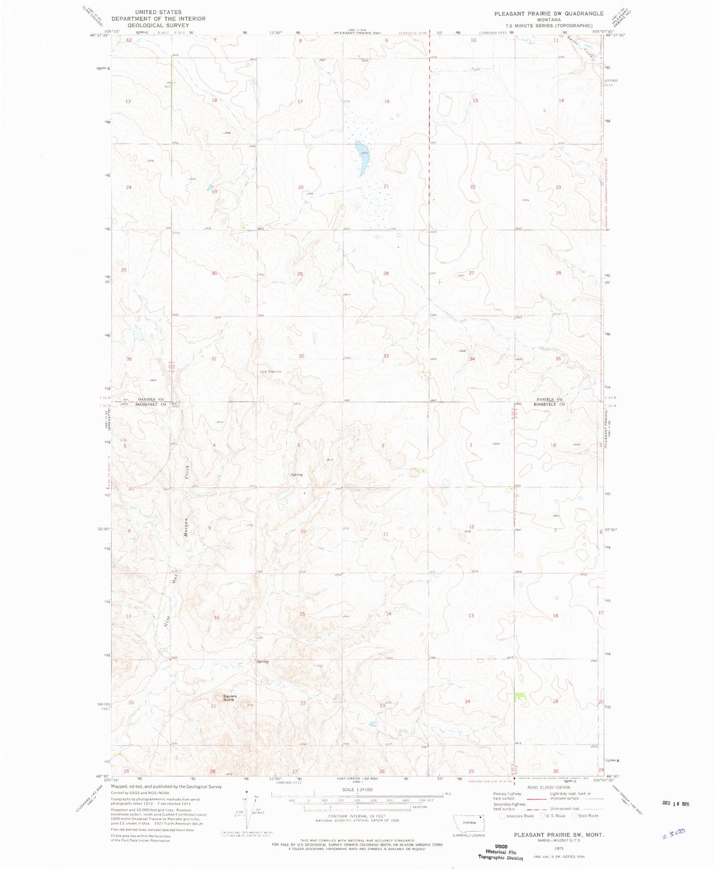
Historical USGS topographic quad map of Pleasant Prairie SW in the state of Montana. Map scale may vary for some years, but is generally around 1:24,000. Print size is approximately 24" x 27"
This quadrangle is in the following counties: Daniels, Roosevelt.
The map contains contour lines, roads, rivers, towns, and lakes. Printed on high-quality waterproof paper with UV fade-resistant inks, and shipped rolled.
Contains the following named places: 28N48E30ADCD01 Well, 32N50E02DDAC01 Well, 32N50E12AAAA01 Well, 32N50E21AAAA01 Spring, 32N51E21ABBC01 Well, 32N51E21ABCB01 Well, 33N50E09CCDC01 Well, 33N50E18BCBB01 Well, Gray School, Hertzberg School, Lundville Post Office, Square Butte