MyTopo
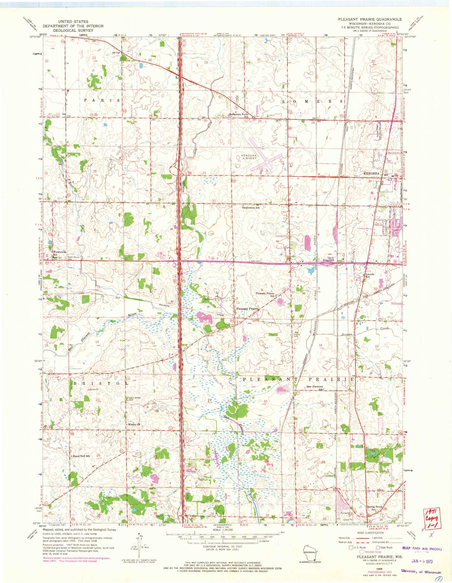
Classic USGS Pleasant Prairie Wisconsin 7.5'x7.5' Topo Map
Couldn't load pickup availability
Historical USGS topographic quad map of Pleasant Prairie in the state of Wisconsin. Map scale may vary for some years, but is generally around 1:24,000. Print size is approximately 24" x 27"
This quadrangle is in the following counties: Kenosha.
The map contains contour lines, roads, rivers, towns, and lakes. Printed on high-quality waterproof paper with UV fade-resistant inks, and shipped rolled.
Contains the following named places: Aurora Medical Center, Bullamore Forks School, City of Kenosha, D and K Farms, Fenske Farms, Froedtert Pleasant Prairie Hospital, Hazel Dell School, Horton Farms, Indian Trail High School and Academy, Jerome Creek, Kenosha County Cemetery, Kenosha Fire Department Station 7, Kenosha House of Corrections - Phoenix Project School, Kenosha Regional Airport, Kilbourn Road Ditch, Lake Andrea, LakeView Technology Academy, Lincoln School, Mahone Middle School, Nash Elementary School, North Bristol Cemetery, Paratech Ambulance Service Kenosha Division, Pleasant Lake, Pleasant Prairie, Pleasant Prairie Elementary School, Pleasant Prairie Fire and Rescue Station 2, Pleasant Prairie Mobile Home Court, Pleasant Prairie Police Department, Pleasant Prairie Power Plant, Prairie Lake Estates, River Oaks Lake, Root River, South Bristol Cemetery, Spring Brook Cemetery, Spring Brook School, Star Harmony School, Stephenson School, Stocker Elementary School, Sunset Ridge Memorial Park Cemetery, Thompson Strawberry Farm Airport, Town of Somers, Truesdell, Vale Cemetery, Village of Pleasant Prairie, Wesley Church, Westwood Estates, WHKE-TV (Kenosha), WJZQ-FM (Kenosha), WLIP-AM (Kenosha), Woodworth School, ZIP Codes: 53142, 53144, 53158


