MyTopo
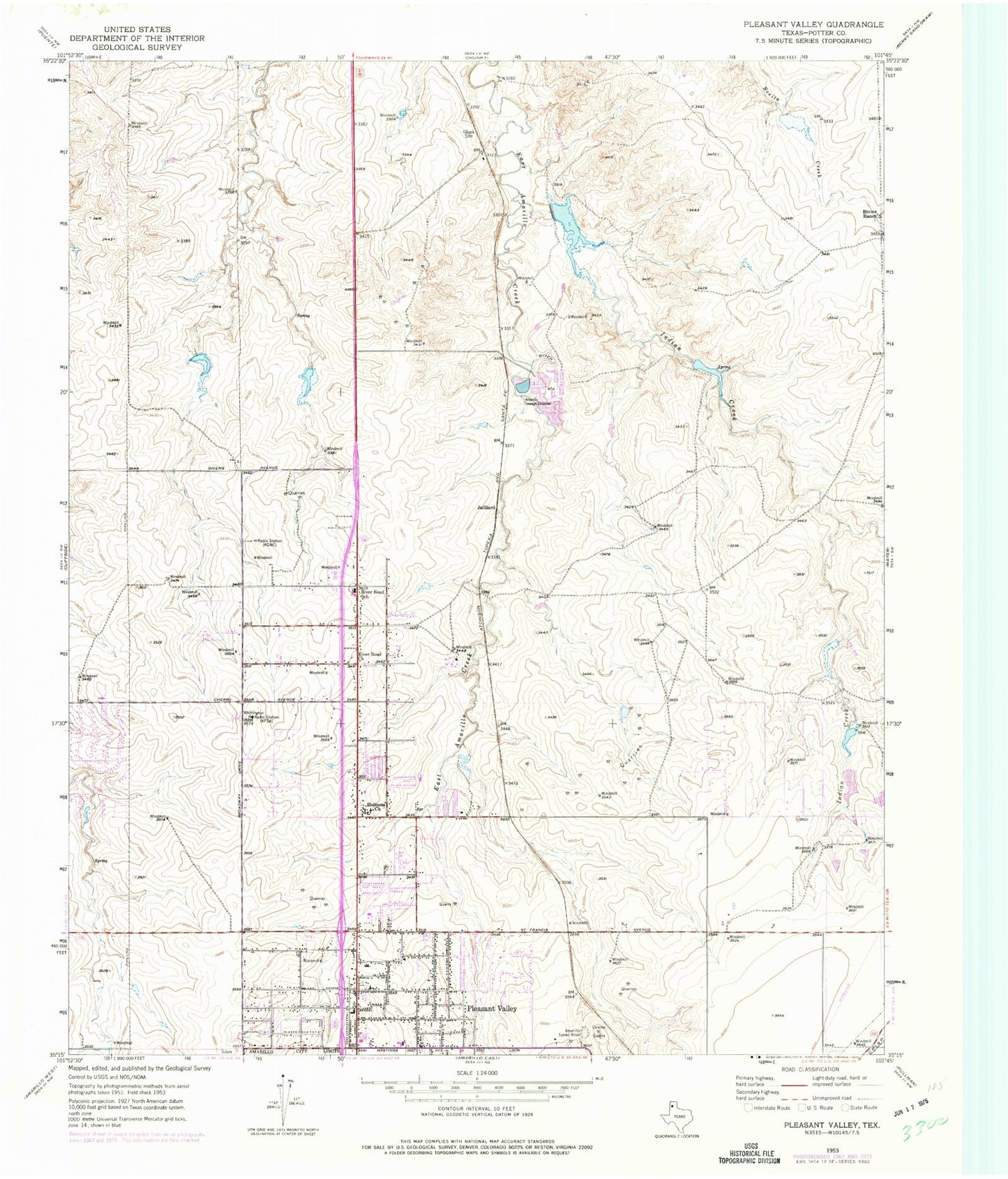
Classic USGS Pleasant Valley Texas 7.5'x7.5' Topo Map
Couldn't load pickup availability
Historical USGS topographic quad map of Pleasant Valley in the state of Texas. Map scale may vary for some years, but is generally around 1:24,000. Print size is approximately 24" x 27"
This quadrangle is in the following counties: Potter.
The map contains contour lines, roads, rivers, towns, and lakes. Printed on high-quality waterproof paper with UV fade-resistant inks, and shipped rolled.
Contains the following named places: 6 Section Lake, 6 Section Lake Dam, Amarillo Fire Department Station 4, Amarillo Speed Bowl, Beth El Fellowship Church, Bivins Ranch, Caliche Quarry, Fairlane Church of Christ, Gluck, Holiness Church, Indian Creek, Irwin Road Baptist Church, Jehovahs Witnesses Valley Congregation Church, Juilliard, KACV-FM (Amarillo), KACV-TV (Amarillo), KAKS-FM (Canyon), KAMR-TV (Amarillo), KATP-FM (Amarillo), KBUY-FM (Amarillo), KCIT-TV (Amarillo), KFDA-TV (Amarillo), KLSF-FM (Amarillo), KMLT-FM (Amarillo), KQIZ-FM (Amarillo), KRGN-FM (Amarillo), Northside Assembly of God Church, Pavillard Baptist Church, Pleasant Valley, Pleasant Valley Assembly of God Church, Pleasant Valley Baptist Church, Pleasant Valley Church of Christ, Pleasant Valley Elementary School, Pleasant Valley Pentecostal Church of God, Pleasant Valley United Methodist Church, Potter County Fire Rescue Station 4, Potter County Fire Rescue Station 5 Central Headquarters, Primitive Baptist Church, River Road Church, River Road Fellowship Church, River Road High School, Rolling Hills Elementary School, Ross Rogers Golf Course Lake Dam, Southwestern Public Service Lake, Southwestern Public Service Lake Dam, United Methodist Church Pleasant Valley, United Pentecostal Church Camp Ground, Willow Vista Elementary School


