MyTopo
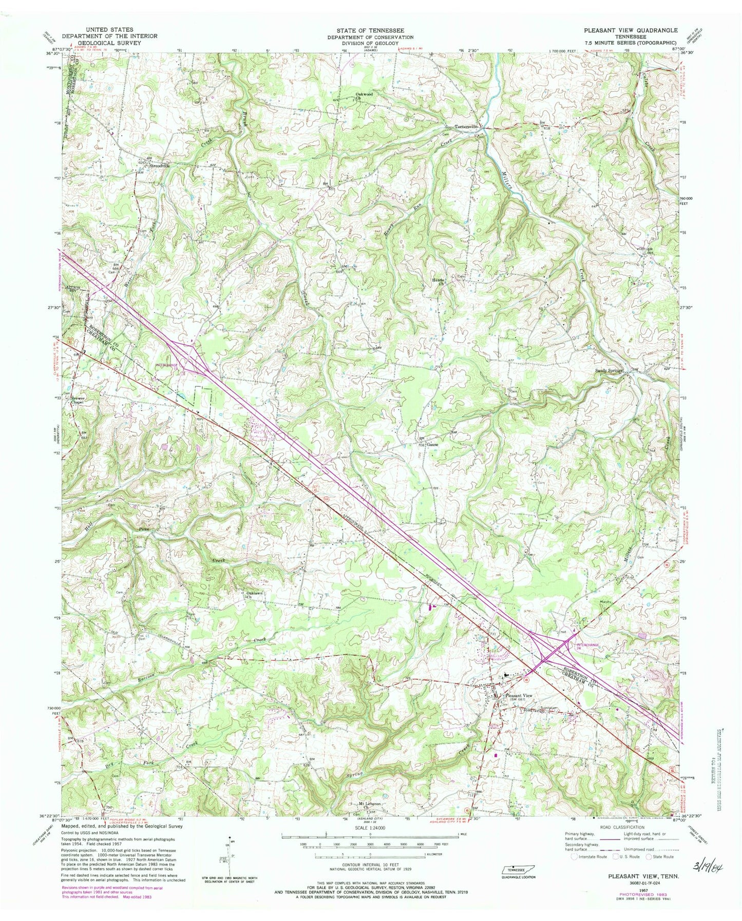
Classic USGS Pleasant View Tennessee 7.5'x7.5' Topo Map
Couldn't load pickup availability
Historical USGS topographic quad map of Pleasant View in the state of Tennessee. Map scale may vary for some years, but is generally around 1:24,000. Print size is approximately 24" x 27"
This quadrangle is in the following counties: Cheatham, Montgomery, Robertson.
The map contains contour lines, roads, rivers, towns, and lakes. Printed on high-quality waterproof paper with UV fade-resistant inks, and shipped rolled.
Contains the following named places: Adams Cemetery, Alley Cemetery, Baxter Cemetery, Blue Bird Field, Bracy Cemetery, Brewer Chapel, Brewer School, Brewers Chapel Cemetery, City of Pleasant View, Coleman School, Commissioner District 3, Coopertown Division, Darden Cemetery, Dickerson Cemetery, Elliott Cemetery, Esther Jackson Cemetery, Farmer Cemetery, Flying W Ranch Airport, Fox Cemetery, Gause, Gause School, Gower Cemetery, Hallums Cemetery, Head Cemetery, Heads Cemetery, Heads Church, Honey Run Creek, James Cemetery, Knox Cemetery, Lee Cemetery, Lipscomb Store, Luter Cemetery, Mill Spring, Moore Cemetery, Morris Cemetery, Mount Lebanon Church, Murphey Cemetery, Nave Cemetery, Oaklawn, Oaklawn Church, Oakwood Church, Pennington Cemetery, Pleasant View, Pleasant View Elementary School, Pleasant View First Baptist Church, Pleasant View Police Department, Pleasant View Post Office, Pleasant View United Methodist Church, Pleasant View Volunteer Fire Department, Pleasant View Volunteer Fire Department Station 3, Sandy Springs, Shepard Cemetery, Stroudville, Turner Cemetery, Turnersville, Walker Cemetery, Weakleys Field, West Fork Creek, Whitehead Cemetery, Williams Cemetery, Wilson Cemetery, Winters Cemetery, Woodlawn School, ZIP Code: 37146


