MyTopo
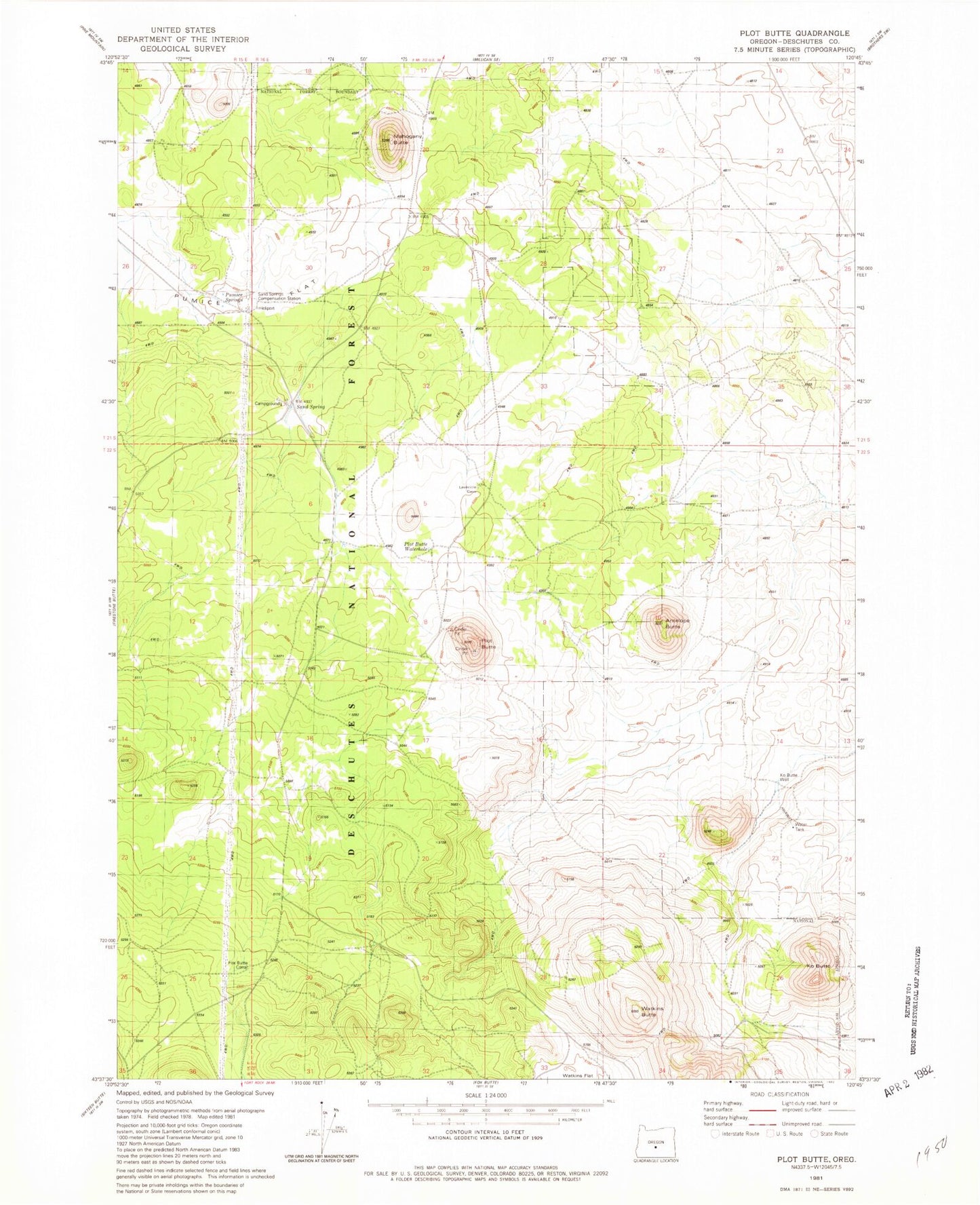
Classic USGS Plot Butte Oregon 7.5'x7.5' Topo Map
Couldn't load pickup availability
Historical USGS topographic quad map of Plot Butte in the state of Oregon. Map scale may vary for some years, but is generally around 1:24,000. Print size is approximately 24" x 27"
This quadrangle is in the following counties: Deschutes.
The map contains contour lines, roads, rivers, towns, and lakes. Printed on high-quality waterproof paper with UV fade-resistant inks, and shipped rolled.
Contains the following named places: Antelope Butte, Dry Lake, Hemstad Post Office, Ko Butte, Ko Butte Well, Lavacicle Cave Geological Area, Lavacicle Cave Recreation Site, Mahogany Butte, Plot Butte, Plot Butte Waterhole, Sand Spring, Sand Spring Recreation Site, Sand Springs Compensation Station, Watkins Butte, Watkins Flat