
MyTopo
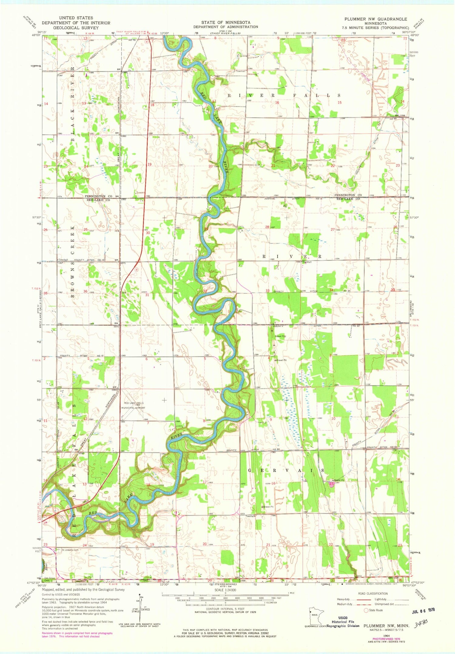
Classic USGS Plummer NW Minnesota 7.5'x7.5' Topo Map
Couldn't load pickup availability
Historical USGS topographic quad map of Plummer NW in the state of Minnesota. Map scale may vary for some years, but is generally around 1:24,000. Print size is approximately 24" x 27"
This quadrangle is in the following counties: Pennington, Red Lake.
The map contains contour lines, roads, rivers, towns, and lakes. Printed on high-quality waterproof paper with UV fade-resistant inks, and shipped rolled.
Contains the following named places: County Ditch Number Seventysix, County Ditch Number Sixty, County Ditch Number Sixtytwo, County Ditch Number Thirteen, County Ditch Number Twentyeight, County Ditch Number Twentyfour, County Ditch Number Twentythree, Saint Josephs Cemetery, Township of Gervais, Township of River, Township of River Falls, ZIP Code: 56754


