
MyTopo
Classic USGS Plutonium Valley Nevada 7.5'x7.5' Topo Map
Regular price
$16.95
Regular price
Sale price
$16.95
Unit price
per
Couldn't load pickup availability
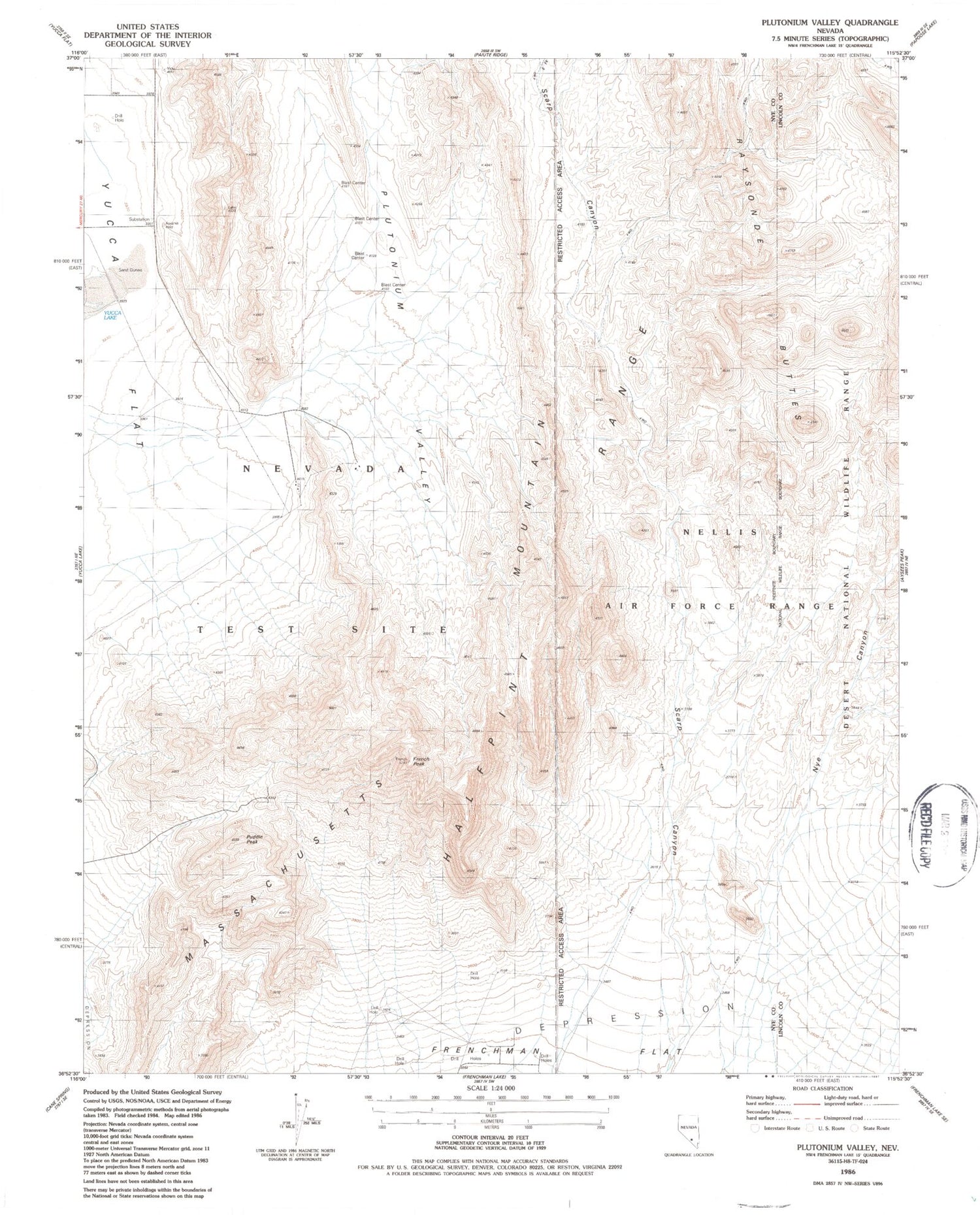
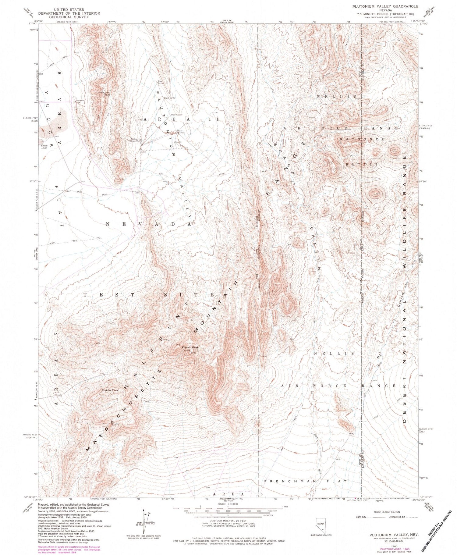
Historical USGS topographic quad map of Plutonium Valley in the state of Nevada. Map scale may vary for some years, but is generally around 1:24,000. Print size is approximately 24" x 27"
This quadrangle is in the following counties: Lincoln, Nye.
The map contains contour lines, roads, rivers, towns, and lakes. Printed on high-quality waterproof paper with UV fade-resistant inks, and shipped rolled.
Contains the following named places: East Fork Scarp Canyon, French Peak, Massachusetts Mountain, Nevada Test Site Area 11, Nye Canyon, Plutonium Valley, Puddle Peak, Raysonde Buttes, Scarp Canyon


