MyTopo
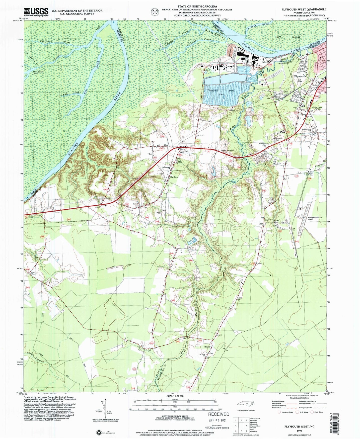
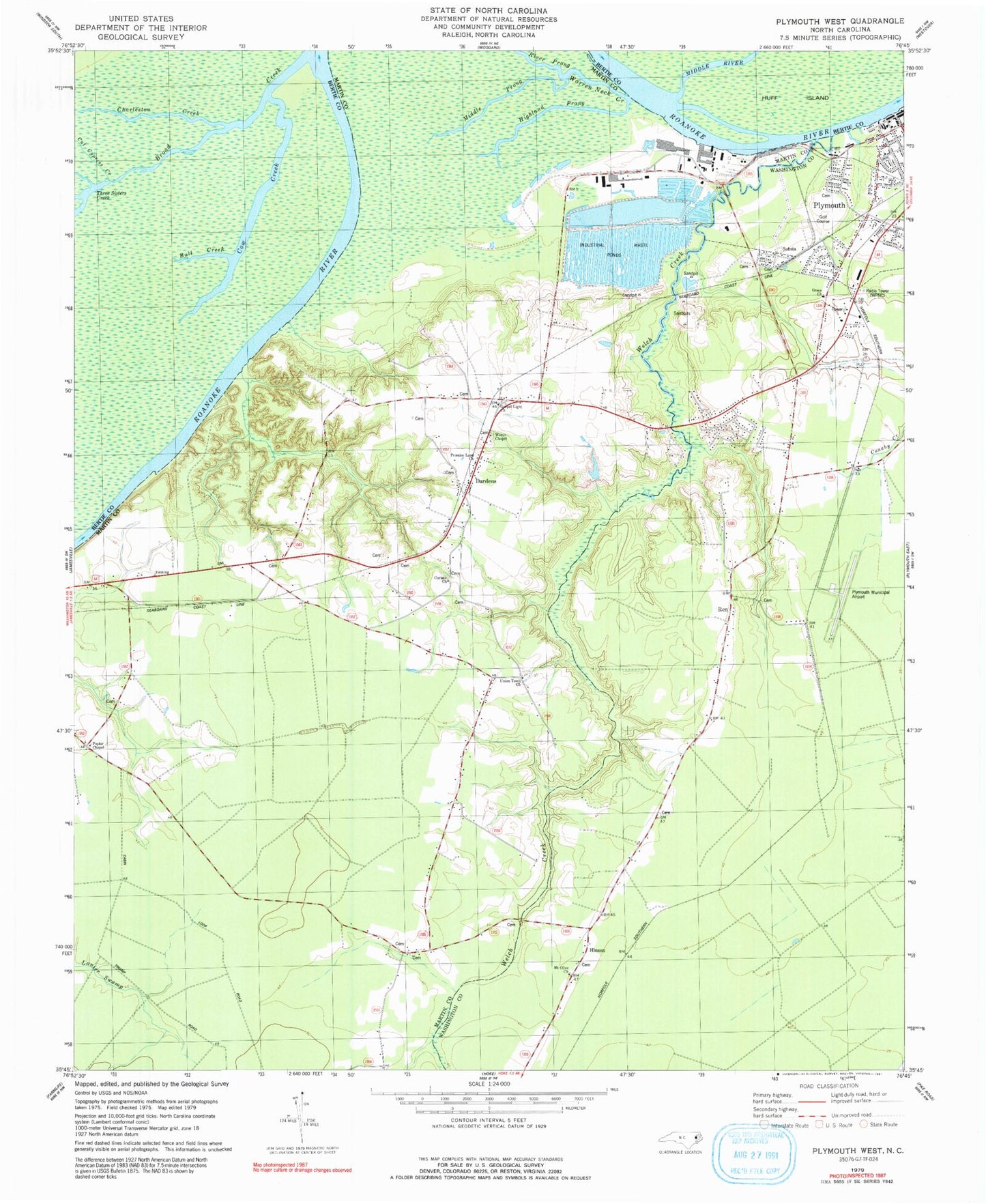
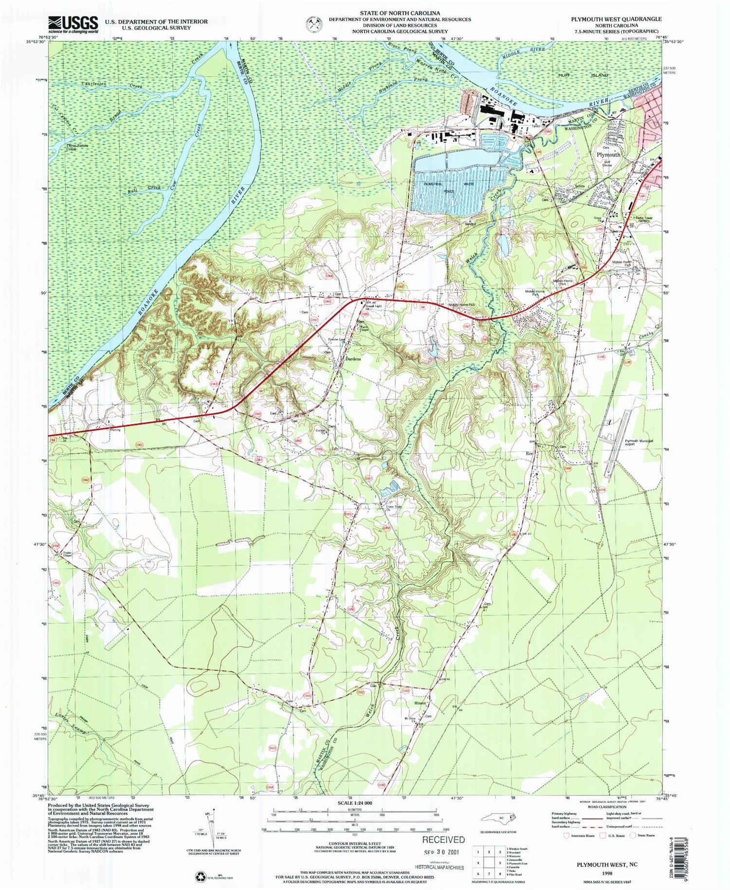
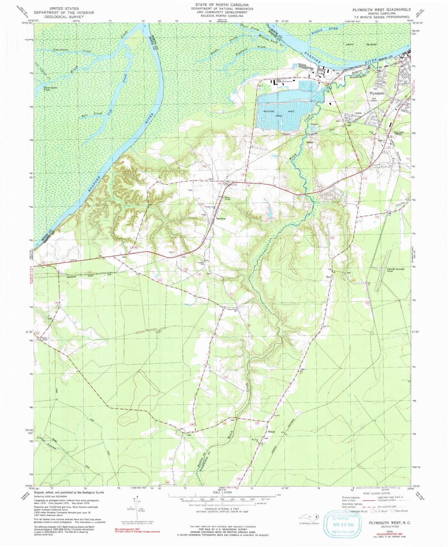
Classic USGS Plymouth West North Carolina 7.5'x7.5' Topo Map
Couldn't load pickup availability
Historical USGS topographic quad map of Plymouth West in the state of North Carolina. Map scale may vary for some years, but is generally around 1:24,000. Print size is approximately 24" x 27"
This quadrangle is in the following counties: Bertie, Martin, Washington.
The map contains contour lines, roads, rivers, towns, and lakes. Printed on high-quality waterproof paper with UV fade-resistant inks, and shipped rolled.
Contains the following named places: Ausbon, Broad Creek, Bull Creek, Charleston Creek, Corinth Church, Cow Creek, Dardens, Deep Bottom Creek, Gospel Light Church, Grace Church, Highland Prong, Hinson, Hoof Inn, Long Acre, Middle Prong, Moratuc, Mount Olive Church, Plymouth Municipal Airport, Plymouth Post Office, Poplar Chapel, Promise Land Church, Promised Land Church of Christ, Ren, River Prong, Snells Mobile Home Park, Three Sisters Creek, Township of Jamesville, Union Town Church, Wards Bridge, Wares Chapel, Warren Neck Creek, Welch Creek, WKLX-FM (Plymouth), WPNC-AM (Plymouth)


