MyTopo
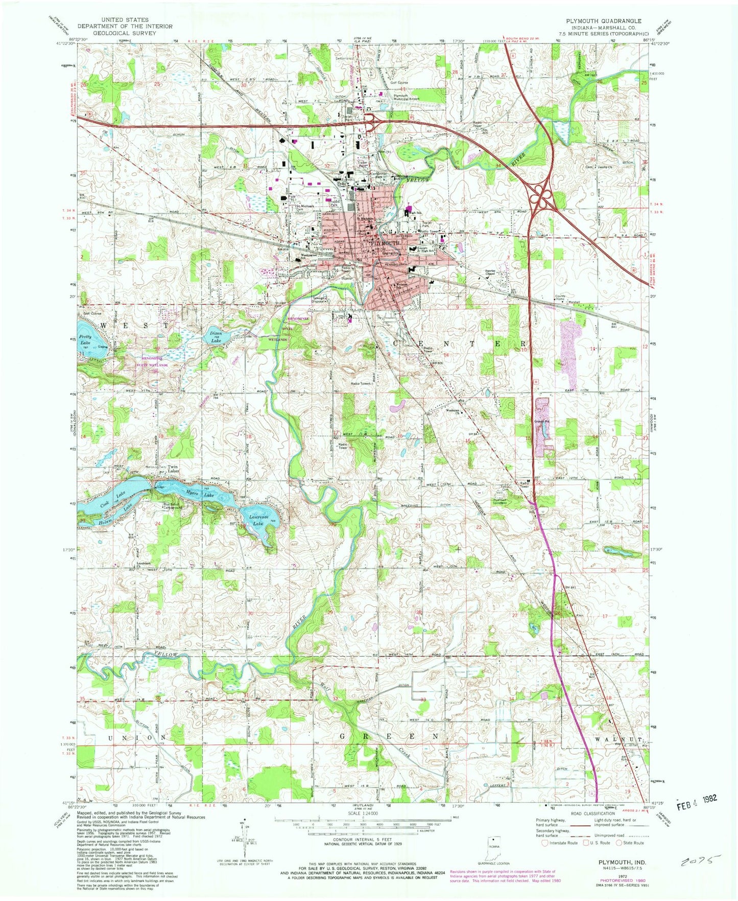
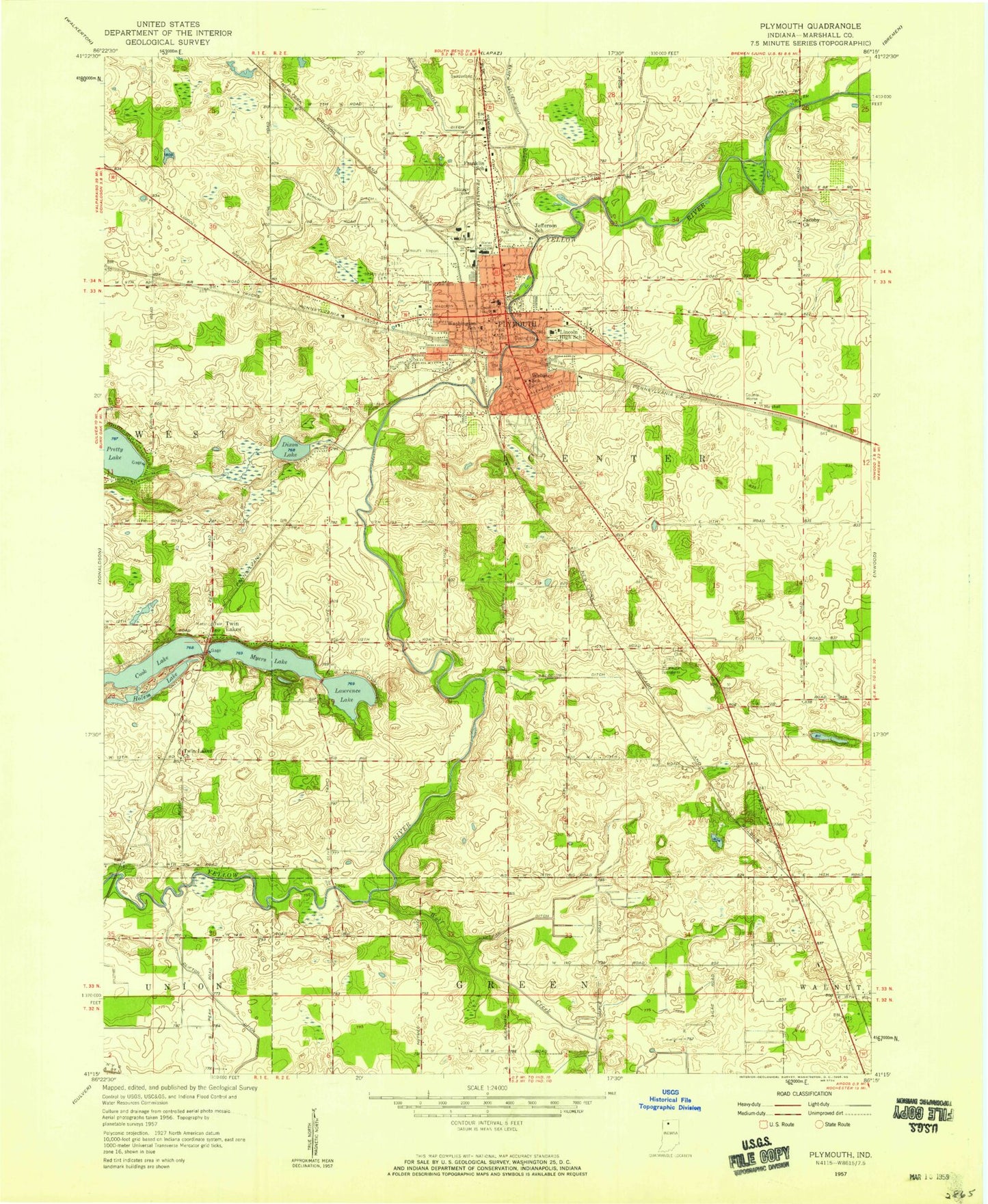
Classic USGS Plymouth Indiana 7.5'x7.5' Topo Map
Couldn't load pickup availability
Historical USGS topographic quad map of Plymouth in the state of Indiana. Map scale may vary for some years, but is generally around 1:24,000. Print size is approximately 24" x 27"
This quadrangle is in the following counties: Marshall.
The map contains contour lines, roads, rivers, towns, and lakes. Printed on high-quality waterproof paper with UV fade-resistant inks, and shipped rolled.
Contains the following named places: Breeding Ditch, Carothers Ditch, Centennial Park, Childs Farm, City of Plymouth, Cook Lake, Cowen Farms, Dixon Lake, Edison Farms, Ernest Rightley Ditch, Faulstich Farms, Ganshorn Farms, Greer Ditch, Gross Dairy Farm, Hartman Ditch, Hayn Farm, Holem Lake, Homestead Dairy, Jacoby Church, Jefferson Elementary School, Landmark Church, Lawrence Lake, Leffert Ditch, Lincoln Junior High School, Marshall County, Marshall County Court House, Marshall County Sheriff's Department, Menominee State Wetlands, Michiana Behavioral Health Center, Myers Lake, Oak Hill Cemetery, Olson Farms, Plymouth, Plymouth Fire Department, Plymouth High School, Plymouth Medical Center, Plymouth Municipal Airport, Plymouth Police Department, Plymouth Post Office, Plymouth Public Library, Plymouth Speedway, Pretty Lake, Price Nurseries, R and L Grain Farm, Richards Dairy Farm, Roberts Farms, Saint Michael School, Saint Michaels Cemetery, Schuh Ditch, Sunnybrook Dairy, Sunrise Chapel, Tabor Cemetery, Township of Center, Twin Lakes, Washington Elementary School, Webster Elementary School, Wesleyan Church, Wolf Creek, Zimmer Ditch, ZIP Code: 46563


