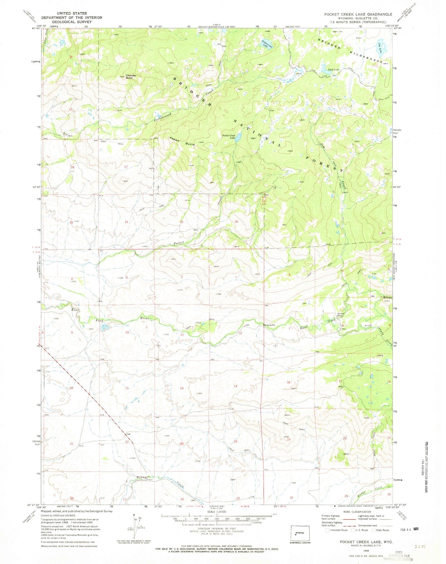
MyTopo
Classic USGS Pocket Creek Lake Wyoming 7.5'x7.5' Topo Map
Regular price
$16.95
Regular price
Sale price
$16.95
Unit price
per
Couldn't load pickup availability
Historical USGS topographic quad map of Pocket Creek Lake in the state of Wyoming. Map scale may vary for some years, but is generally around 1:24,000. Print size is approximately 24" x 27"
This quadrangle is in the following counties: Sublette.
The map contains contour lines, roads, rivers, towns, and lakes. Printed on high-quality waterproof paper with UV fade-resistant inks, and shipped rolled.
Contains the following named places: Aspen Butte, Big Sandy, Chimney Butte, Cottonwood Lake, Duck Lake, Irish Canyon Creek, Jim Creek, Jim Lake, Jim Lake Trail, J-J Reservoir Number 3 Dam, Pocket Creek Lake, Speedway Pit, Wheeler Ranch, ZIP Code: 82923