MyTopo
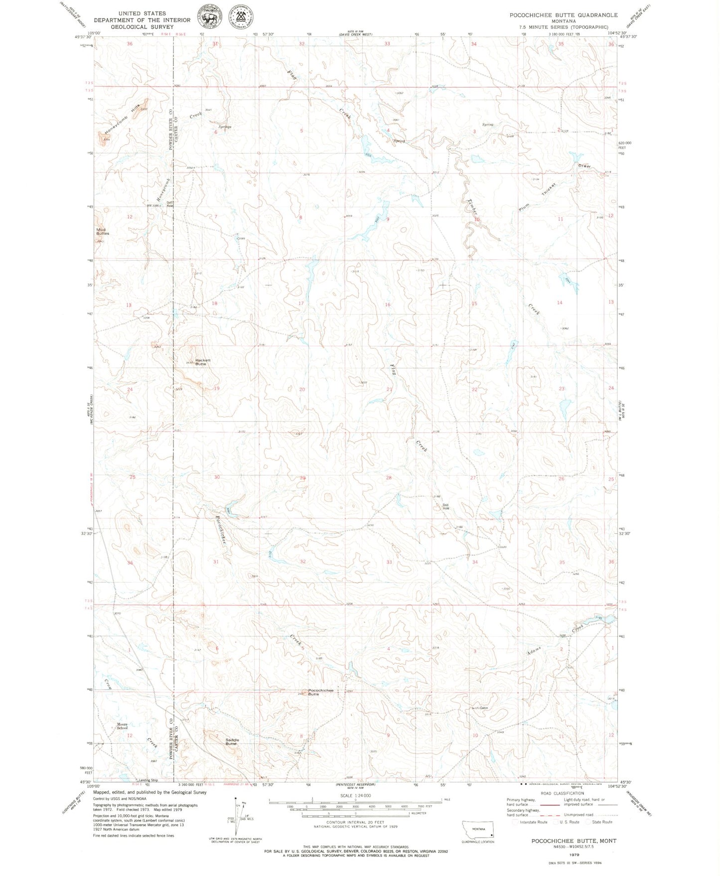
Classic USGS Pocochichee Butte Montana 7.5'x7.5' Topo Map
Regular price
$16.95
Regular price
Sale price
$16.95
Unit price
per
Couldn't load pickup availability
Historical USGS topographic quad map of Pocochichee Butte in the state of Montana. Map scale may vary for some years, but is generally around 1:24,000. Print size is approximately 24" x 27"
This quadrangle is in the following counties: Carter, Powder River.
The map contains contour lines, roads, rivers, towns, and lakes. Printed on high-quality waterproof paper with UV fade-resistant inks, and shipped rolled.
Contains the following named places: 03S55E07DAB_01 Well, 04S55E07ABC_01 Well, Cabin Creek, Hackett Butte, Moore School, Pete Dam, Plum Thicket Draw, Pocochichee Butte, Saddle Butte, W L Draw