MyTopo
Classic USGS Point au Fer Louisiana 7.5'x7.5' Topo Map
Couldn't load pickup availability
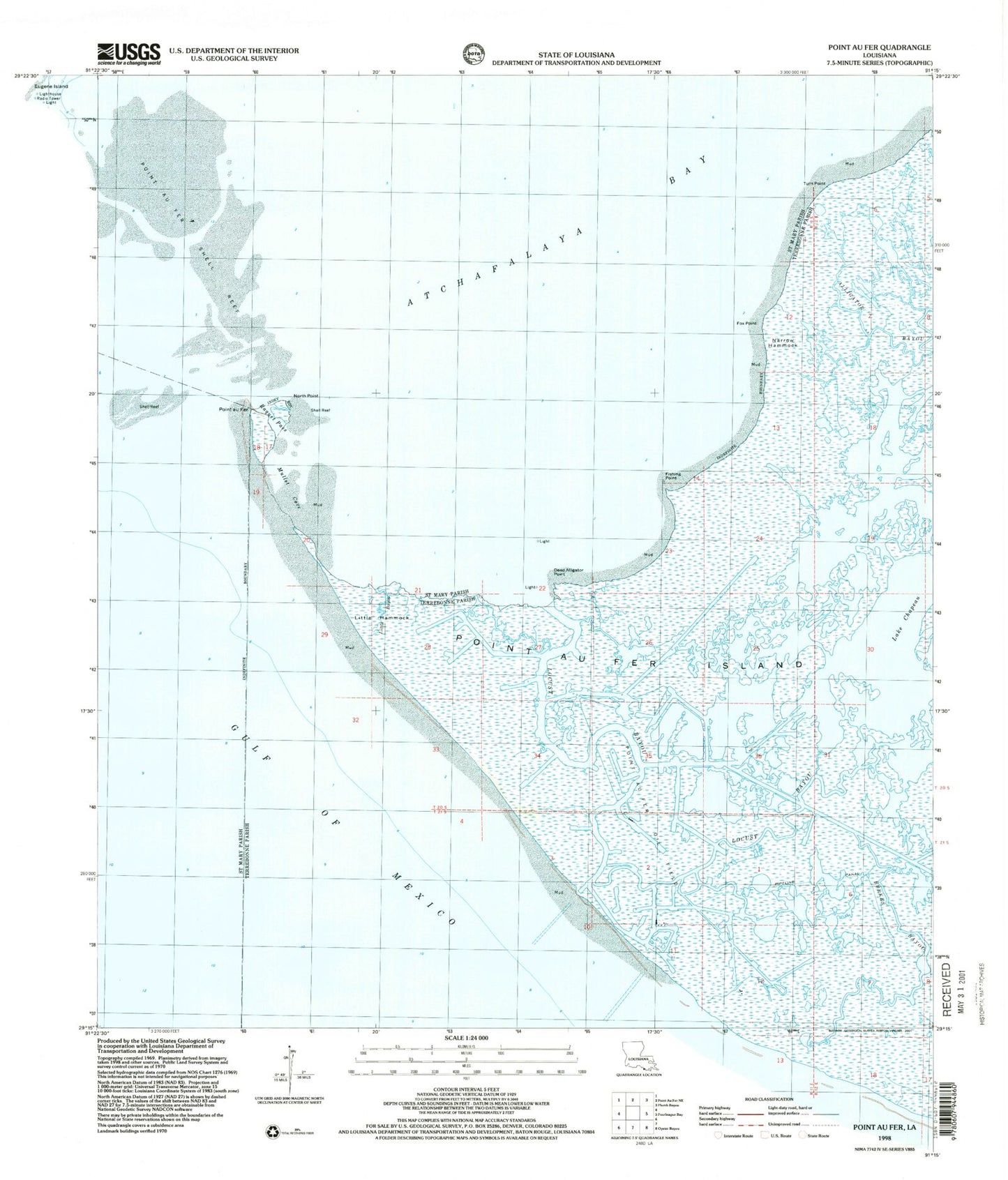
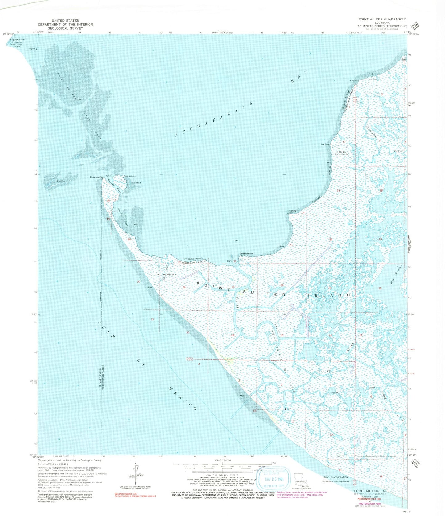
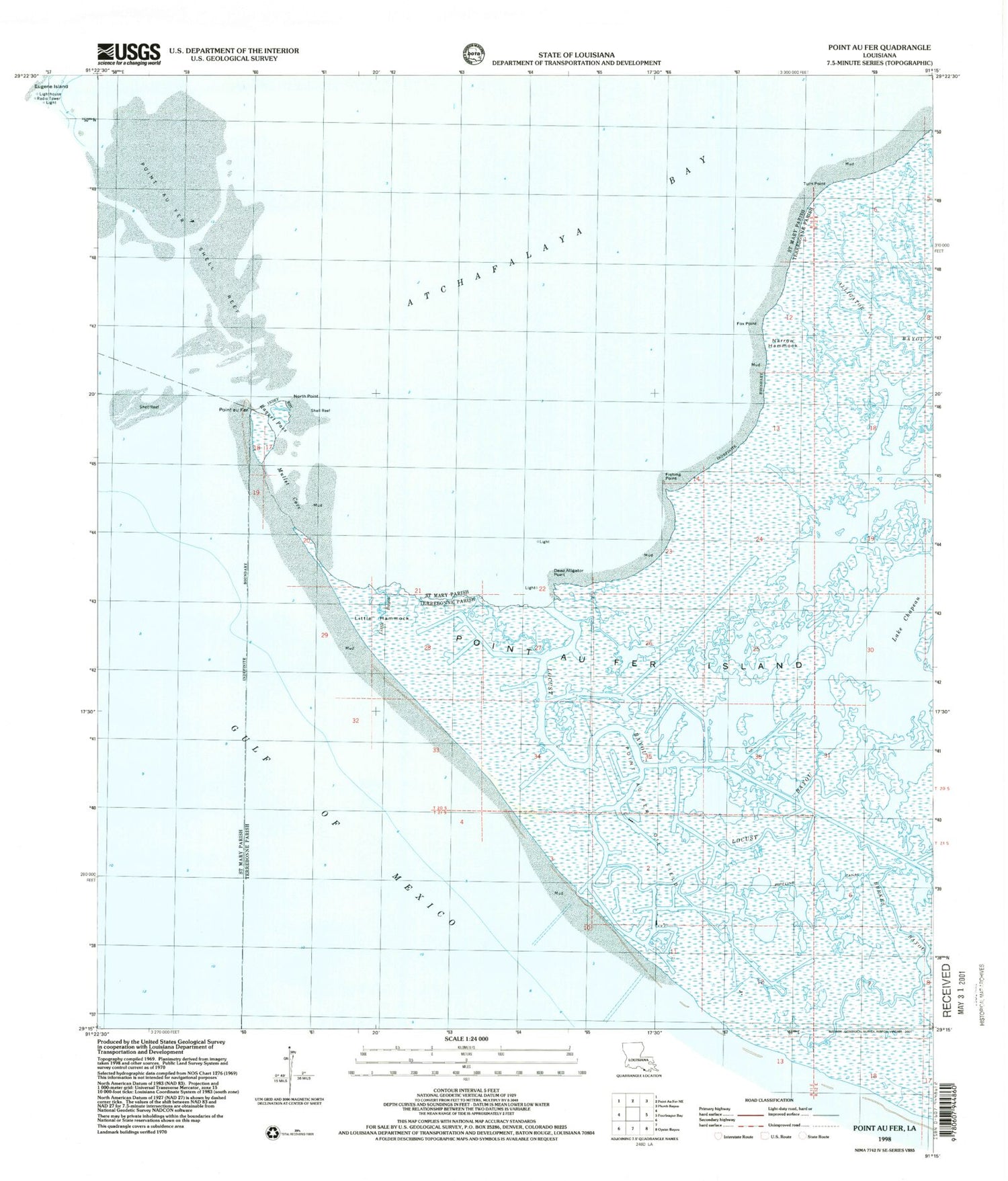
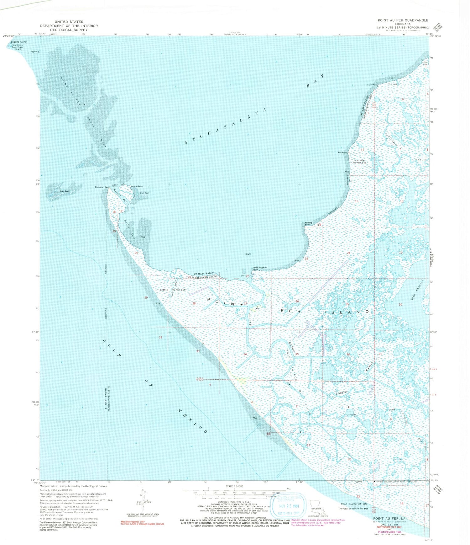
Historical USGS topographic quad map of Point au Fer in the state of Louisiana. Map scale may vary for some years, but is generally around 1:24,000. Print size is approximately 24" x 27"
This quadrangle is in the following counties: St. Mary, Terrebonne.
The map contains contour lines, roads, rivers, towns, and lakes. Printed on high-quality waterproof paper with UV fade-resistant inks, and shipped rolled.
Contains the following named places: Alligator Cut, Burkes Bayou, Dead Alligator Point, Fishing Bend, Fishing Point, Fox Point, Lake Chapeau, Little Bayou, Little Hammock, Locust Bayou, Mullet Cove, Narrow Hammock, North Point, Point Au Fer Oil Field, Point Au Fer Shell Reef, Pount au Fer, Raquet Pass, Turn Point, Two Oaks