MyTopo
Classic USGS Point Comfort Texas 7.5'x7.5' Topo Map
Couldn't load pickup availability
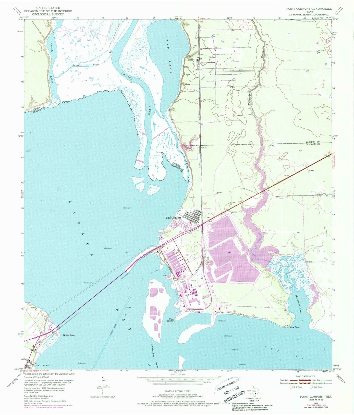
Historical USGS topographic quad map of Point Comfort in the state of Texas. Map scale may vary for some years, but is generally around 1:24,000. Print size is approximately 24" x 27"
This quadrangle is in the following counties: Calhoun, Jackson.
The map contains contour lines, roads, rivers, towns, and lakes. Printed on high-quality waterproof paper with UV fade-resistant inks, and shipped rolled.
Contains the following named places: Catfish Bayou, City of Point Comfort, Clear Lake, Clear Lake Levee, Cox Bay, Cox Creek, Cox Point, Coxs Creek Dam, Coxs Creek Reservoir, Dredge Spoil Lake, Dredge Spoil Lake Levee, Evaporation Lake, Evaporation Lake Dam, Evaporation Lake Number 1, Evaporation Lake Number 1 Levee, Evaporation Lake Number 2, Evaporation Lake Number 2 Levee, Evaporation Lake Number 3, Evaporation Lake Number 3 Levee, Fishing Pier Park, Huisache Cove, Lavaca Bay, Lavaca Causeway Marina, Lavaca River, Mud Lake Number 4, Mud Lake Number 4 Levee, Noble Point, Point Comfort, Point Comfort City Hall, Point Comfort Police Department, Point Comfort Post Office, Point Comfort Volunteer Fire Department, Port Comfort Elementary School, Raw Water Lake, Raw Water Lake Levee, Smugglers Bayou, Storm Lake, Storm Lake Levee, Swam Lake Oil Field, Swan Lake, Venado Lakes, ZIP Code: 77978