MyTopo
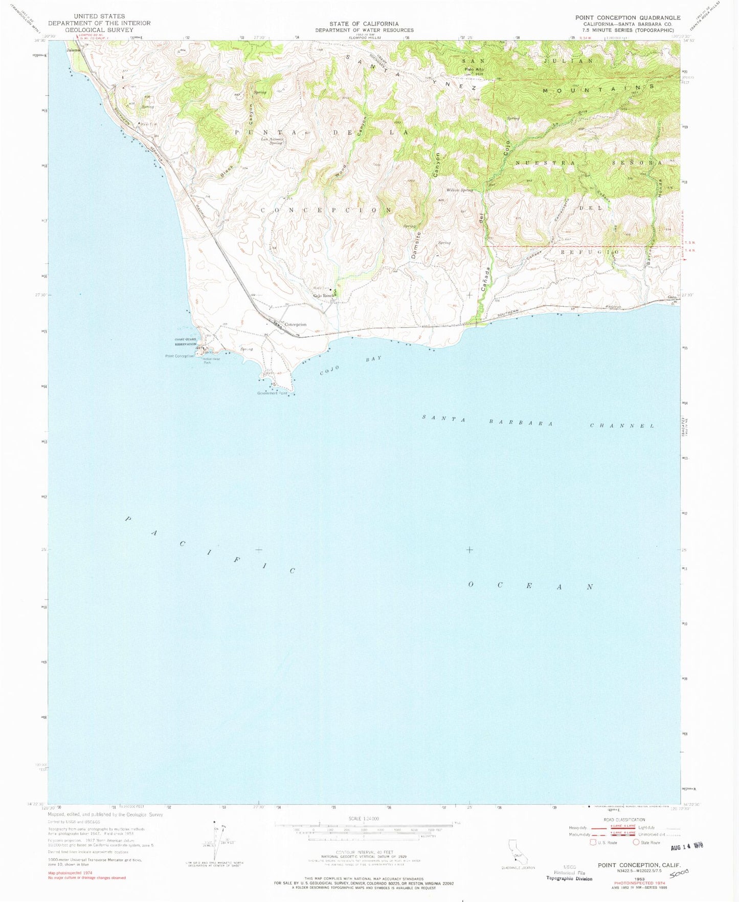
Classic USGS Point Conception California 7.5'x7.5' Topo Map
Couldn't load pickup availability
Historical USGS topographic quad map of Point Conception in the state of California. Map scale may vary for some years, but is generally around 1:24,000. Print size is approximately 24" x 27"
This quadrangle is in the following counties: Santa Barbara.
The map contains contour lines, roads, rivers, towns, and lakes. Printed on high-quality waterproof paper with UV fade-resistant inks, and shipped rolled.
Contains the following named places: Barranca Honda, Black Canyon, Canada Del Cementerio, Canada Del Cojo, Canada del Gato, Cojo Anchorage, Cojo Ranch, Concepcion, Damsite Canyon, Gato, Government Point, Indian Head Rock, Jalama, Kunuqug, La Olla, Las Animas Spring, Palo Alto Hill, Point Conception, Point Conception Lighthouse, Shisholop, Willow Spring, Wood Canyon