MyTopo
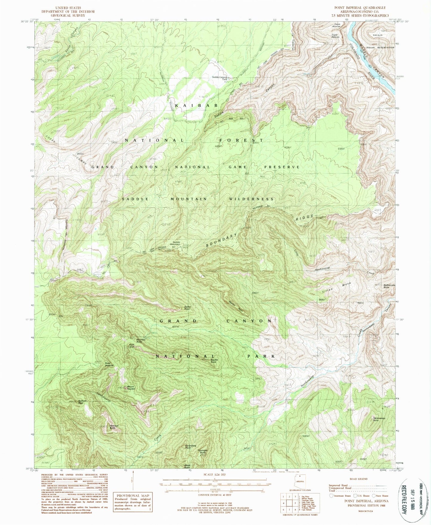
Classic USGS Point Imperial Arizona 7.5'x7.5' Topo Map
Couldn't load pickup availability
Historical USGS topographic quad map of Point Imperial in the state of Arizona. Typical map scale is 1:24,000, but may vary for certain years, if available. Print size: 24" x 27"
This quadrangle is in the following counties: Coconino.
The map contains contour lines, roads, rivers, towns, and lakes. Printed on high-quality waterproof paper with UV fade-resistant inks, and shipped rolled.
Contains the following named places: Alsap Butte, Barbenceta Butte, Boundary Ridge, Bourke Point, Ehrenberg Point, Hancock Butte, Mount Hayden, Marion Point, Nankoweap Butte, Novinger Butte, Point Imperial, Saddle Canyon, Saddle Mountain, Seiber Point, Sullivan Peak, Tilted Mesa, Woolsey Butte, Kolb Arch, Woolsey Point Recreation Site (historical), Saddle Canyon Tank, Saddle Mountain Wilderness, Buck Farm Tank