
MyTopo
Classic USGS Point Lookout Idaho 7.5'x7.5' Topo Map
Regular price
$16.95
Regular price
Sale price
$16.95
Unit price
per
Couldn't load pickup availability
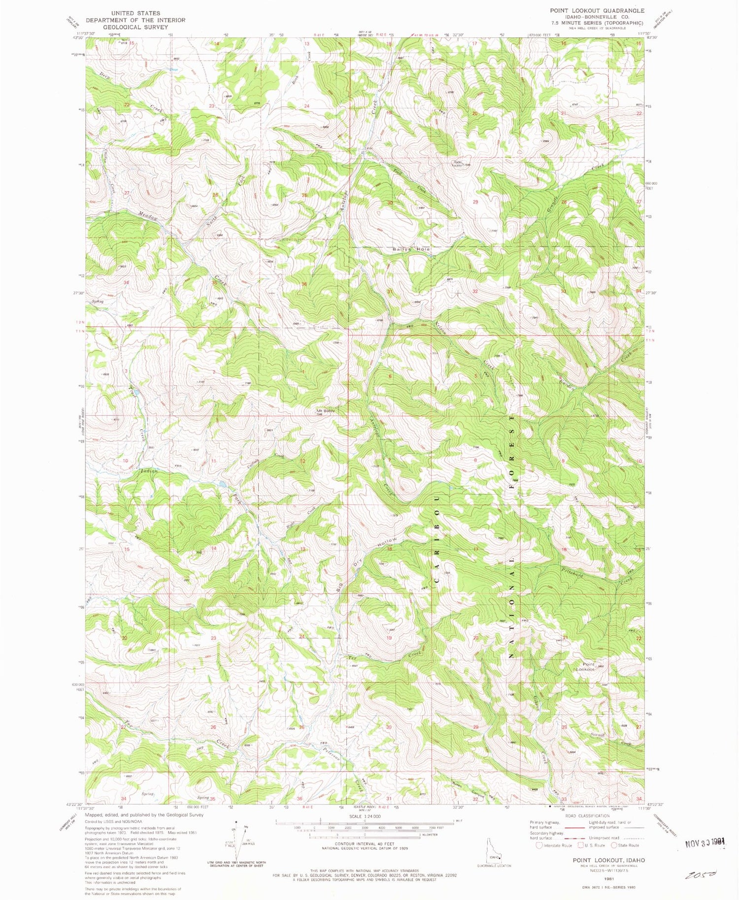
Historical USGS topographic quad map of Point Lookout in the state of Idaho. Map scale may vary for some years, but is generally around 1:24,000. Print size is approximately 24" x 27"
This quadrangle is in the following counties: Bonneville.
The map contains contour lines, roads, rivers, towns, and lakes. Printed on high-quality waterproof paper with UV fade-resistant inks, and shipped rolled.
Contains the following named places: Ballys Hole, Big Dry Hollow, Bonneville County, Carlisle Creek, Chicken Creek, Mount Baldy, Nelson Creek, North Fork Meadow Creek, Peterson Creek, Point Lookout, Right Creek, Tex Creek, Trail Creek


