MyTopo
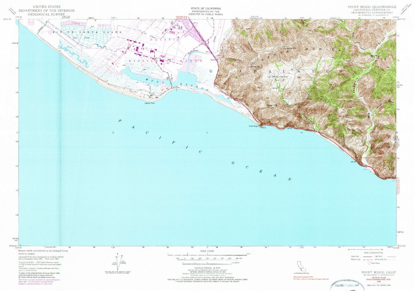
Classic USGS Point Mugu California 7.5'x7.5' Topo Map
Couldn't load pickup availability
Historical USGS topographic quad map of Point Mugu in the state of California. Map scale may vary for some years, but is generally around 1:24,000. Print size is approximately 24" x 27"
This quadrangle is in the following counties: Ventura.
The map contains contour lines, roads, rivers, towns, and lakes. Printed on high-quality waterproof paper with UV fade-resistant inks, and shipped rolled.
Contains the following named places: Big Sycamore Canyon, Calleguas Creek, Guadalasca, Hueneme Canyon, John E Clark Golf Course, KBBY-FM (Ventura), KZTR-FM (Camarillo), La Jolla Beach, La Jolla Canyon, La Jolla Peak, La Jolla Valley, La Jolla Valley Natural Preserve, Laguna Peak, Laguna Point, Middle Point, Mugu Lagoon, Mugu Peak, Point Mugu, Point Mugu Beach, Point Mugu Fire Station, Point Mugu Naval Air Station (Naval Base Ventura County), Point Mugu State Park, Serrano Canyon, Sycamore Cove, Ventura County Federal Fire Department, Wood Canyon, ZIP Code: 93041