MyTopo
Classic USGS Point Nipigon Michigan 7.5'x7.5' Topo Map
Regular price
$16.95
Regular price
Sale price
$16.95
Unit price
per
Couldn't load pickup availability
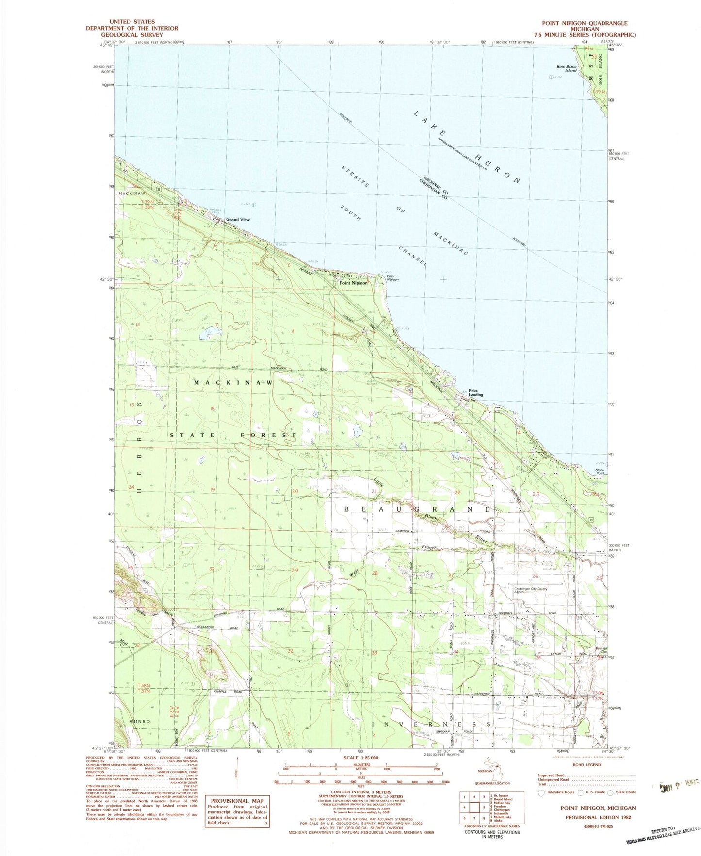
Historical USGS topographic quad map of Point Nipigon in the state of Michigan. Map scale may vary for some years, but is generally around 1:24,000. Print size is approximately 24" x 27"
This quadrangle is in the following counties: Cheboygan, Mackinac.
The map contains contour lines, roads, rivers, towns, and lakes. Printed on high-quality waterproof paper with UV fade-resistant inks, and shipped rolled.
Contains the following named places: Cheboygan County Airport, Cheboygan Golf and Country Club, Grand View, Inverness Fire Department Station 1, Point Nipigon, Pries Landing, Sailors and Indians Cemetery, School 1, School 2, School 7, South Channel, Township of Beaugrand, West Branch Little Black River