MyTopo
Classic USGS Point No Point Maryland 7.5'x7.5' Topo Map
Couldn't load pickup availability
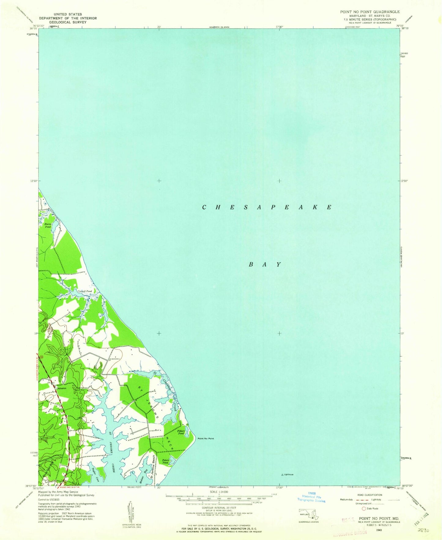
Historical USGS topographic quad map of Point No Point in the state of Maryland. Map scale may vary for some years, but is generally around 1:24,000. Print size is approximately 24" x 27"
This quadrangle is in the following counties: Dorchester, St. Mary's.
The map contains contour lines, roads, rivers, towns, and lakes. Printed on high-quality waterproof paper with UV fade-resistant inks, and shipped rolled.
Contains the following named places: Bay Forest, Biscoe Pond, Blue Gull Hill, Carroll Pond, Dameron, Dameron House, Dameron Post Office, Elms Beach, Filbert Pond, Fishers Point, Howleys Manor, Malone Bay, Peters Pond, Point No Point, Saint Clarence Creek, Saint Jerome Beach, Saint Jerome Creek, Saint Jerome Neck, Saint Jerome Shores, Saint Jeromes Landing, Saint Jeromes Manor, Taylor Cove, Wingfield Airport, ZIP Code: 20628