MyTopo
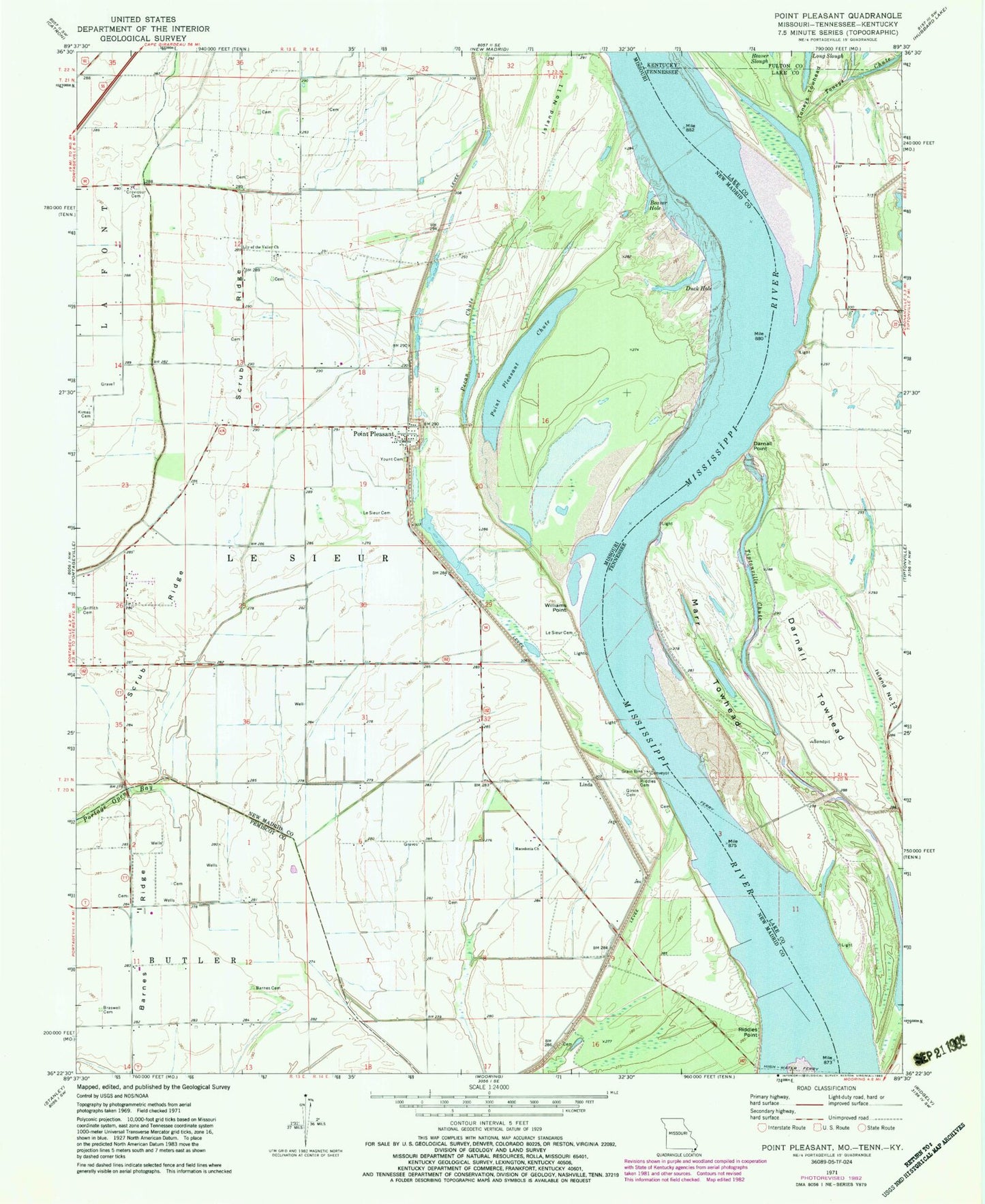
Classic USGS Point Pleasant Missouri 7.5'x7.5' Topo Map
Couldn't load pickup availability
Historical USGS topographic quad map of Point Pleasant in the states of Missouri, Tennessee, Kentucky. Map scale may vary for some years, but is generally around 1:24,000. Print size is approximately 24" x 27"
This quadrangle is in the following counties: Fulton, Lake, New Madrid, Pemiscot.
The map contains contour lines, roads, rivers, towns, and lakes. Printed on high-quality waterproof paper with UV fade-resistant inks, and shipped rolled.
Contains the following named places: Barnes Cemetery, Barnes Ridge, Batesell Landing, Beaver Hole, Below Toneys Towhead Revetment, Bixby Towhead, Braswell Cemetery, Compromise Landing, Creviosur Cemetery, Cushion Lake, Darnall Landing, Darnall Point, Darnall Towhead, Duck Hole, Girvin Cemetery, Griffith Cemetery, Island Number 11, Kimes Cemetery, Le Sieur Cemetery, Lily of the Valley Church, Linda, Linda Bar, Linda School, Long Slough, Macedonia Church, Marr Field Bar, Marr Towhead, Newman School, Newmann School, Nolan Bar, Pecan Chute, Point Pleasant, Point Pleasant Chute, Riddles Cemetery, Riddles Point, Riddles Point School, Scrub Ridge, Slough Landing Neck, Tiptonville Chute, Tiptonville Towhead, Toneys Chute, Toneys Towhead, Township of Le Sieur, Ward School, Watsons Landing, Williams Point, Yount Cemetery


