MyTopo
Classic USGS Point Sal California 7.5'x7.5' Topo Map
Regular price
$16.95
Regular price
Sale price
$16.95
Unit price
per
Couldn't load pickup availability
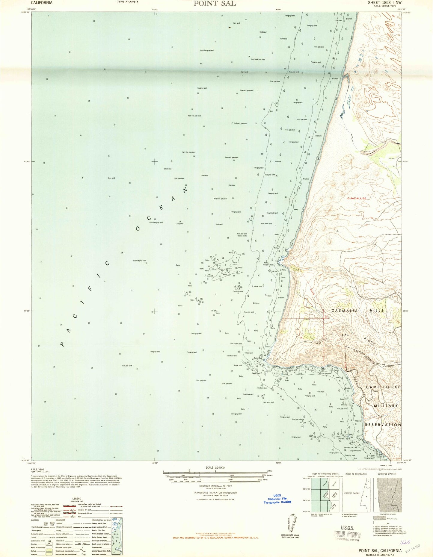
Historical USGS topographic quad map of Point Sal in the state of California. Map scale may vary for some years, but is generally around 1:24,000. Print size is approximately 24" x 27"
This quadrangle is in the following counties: San Luis Obispo, Santa Barbara.
The map contains contour lines, roads, rivers, towns, and lakes. Printed on high-quality waterproof paper with UV fade-resistant inks, and shipped rolled.
Contains the following named places: Guadalupe Oil Field, Lion Rock, Mussel Point, Mussel Rock, Mussel Rock Dunes, Point Sal, Point Sal Landing, Point Sal Ridge, Point Sal State Beach, Santa Maria River, Santa Maria Valley, Seal Rock