MyTopo
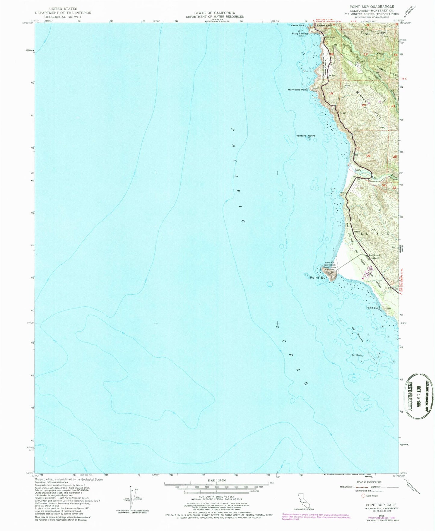
Classic USGS Point Sur California 7.5'x7.5' Topo Map
Couldn't load pickup availability
Historical USGS topographic quad map of Point Sur in the state of California. Map scale may vary for some years, but is generally around 1:24,000. Print size is approximately 24" x 27"
This quadrangle is in the following counties: Monterey.
The map contains contour lines, roads, rivers, towns, and lakes. Printed on high-quality waterproof paper with UV fade-resistant inks, and shipped rolled.
Contains the following named places: Bixby Bridge, Bixby Creek, Bixby Landing, Castle Rock, Division Knoll, False Sur, Hurricane Point, Little Sur River, Point Sur, Point Sur Dunes Natural Preserve, Point Sur Lighthouse, Point Sur Lighthouse Reservation, Point Sur State Historic Park, Sierra Creek, Sierra Hill, Sur Breakers, Sur Rock, Sur School, Ventura Rocks