MyTopo
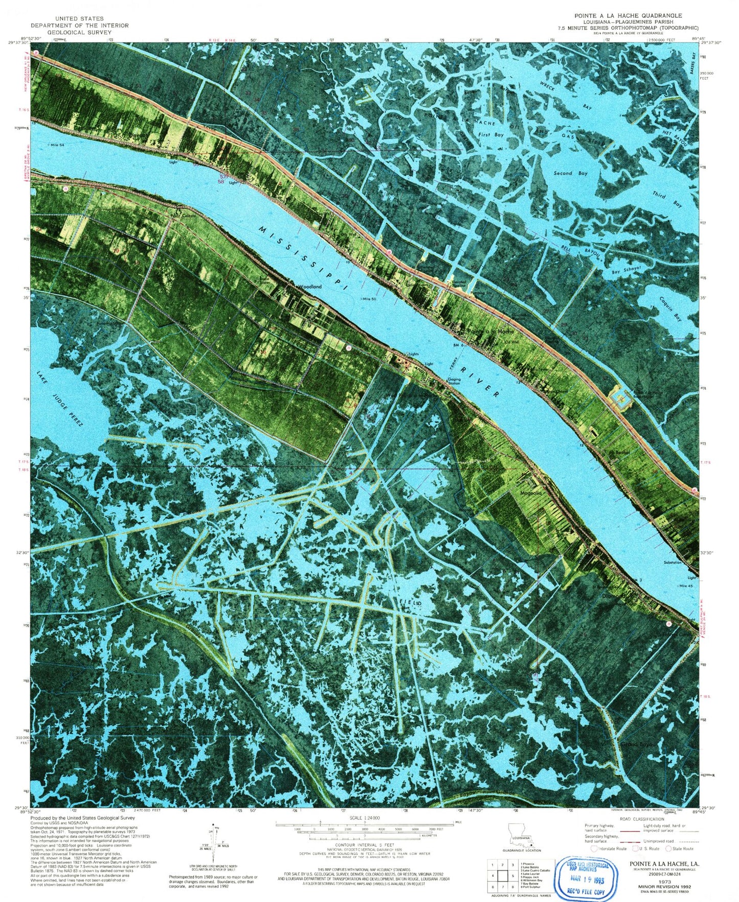
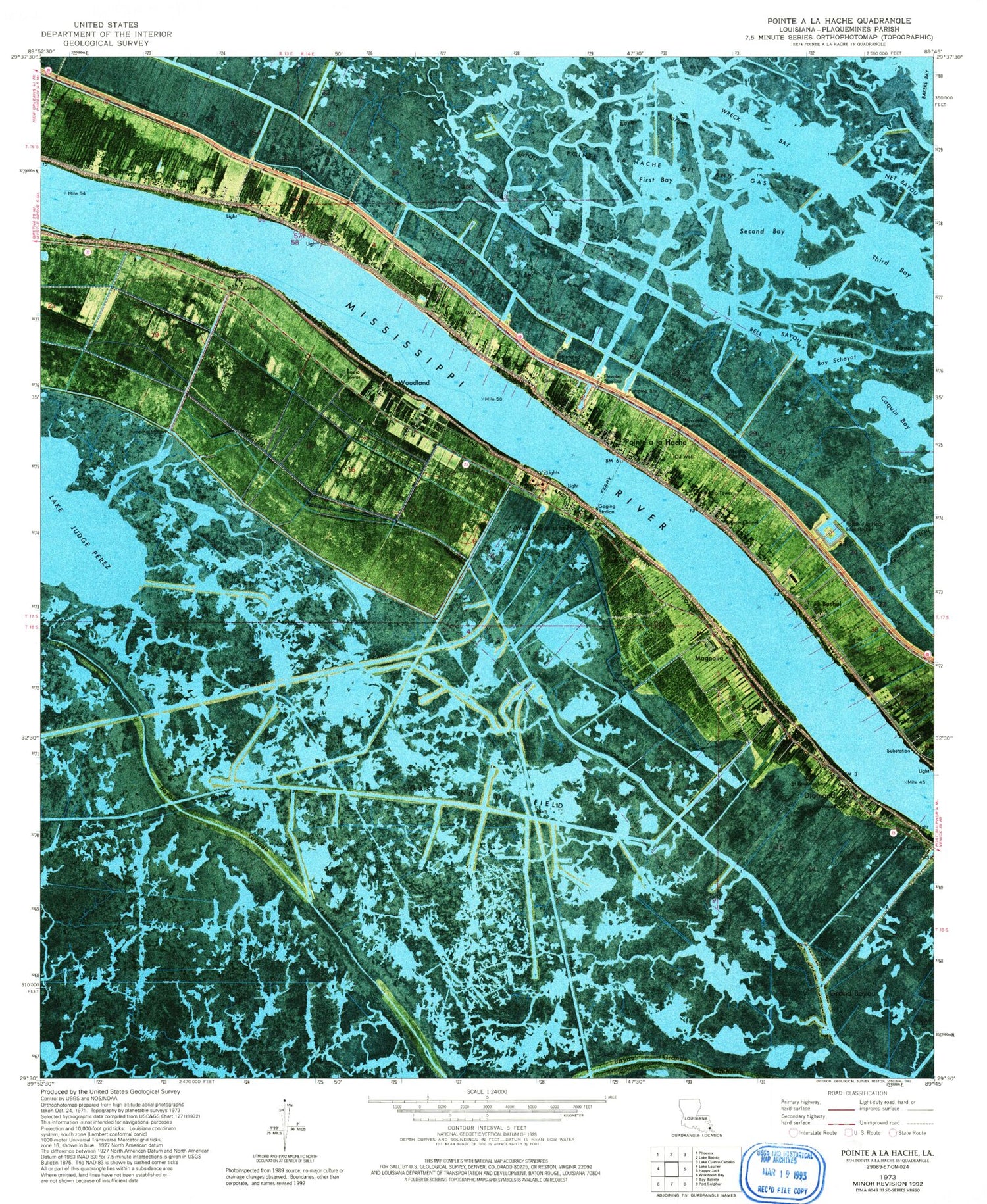
Classic USGS Pointe a la Hache Louisiana 7.5'x7.5' Topo Map
Couldn't load pickup availability
Historical USGS topographic quad map of Pointe a la Hache in the state of Louisiana. Map scale may vary for some years, but is generally around 1:24,000. Print size is approximately 24" x 27"
This quadrangle is in the following counties: Plaquemines.
The map contains contour lines, roads, rivers, towns, and lakes. Printed on high-quality waterproof paper with UV fade-resistant inks, and shipped rolled.
Contains the following named places: Ancal Cemetery, Ballowe Cemetery, Barthelemy Cemetery, Barthelemy Settlement, Bay Schayot, Bayou Barge, Bayou Chene, Bayou Grande, Bell Bayou, Beshel, Bethlehem Church, Blessed Martin Church, Blessed Martin School, Bohemia, Bohemia Revetment, Caquin Bay, City Price Baptist Church, Davant, Davant Post Office, Diamond, Diamond Oil and Gas Field, Diamond Revetment, Feets Cemetery, Filipino, First Baptist Church, First Bay, Foster Canal, Fosters Canal, Grand Bayou, Grand Bayou Church, Grand Bayou Village, Gravolet Canal, Gravolet Revetment, Hope Chapel, Junior, Lake Judge Perez, Magnolia, Magnolia Cemetery, Magnolia Oil and Gas Field, Martin, Menge Cemetery, Nero, Nero Cemetery, Plaquemines Parish Fire Department, Plaquemines Parish Fire District 1 Pointe a la Hache Volunteer Fire Department, Point Celeste, Point Celeste Cemetery, Pointe a la Hache, Pointe A La Hache Boat Harbor, Pointe a la Hache Census Designated Place, Pointe A La Hache Oil and Gas Field, Pointe a la Hache Post Office, Pointe A La Hache School, Saint Jude Church, Saint Jude School, Saint Pauline Church, Saint Pauline School, Saint Thomas Church, Second Bay, Socola, Socola Canal, Third Bay, Thorn Tree Bayou, West Pointe A La Hache, Woodland, Woodland Cemetery, Wreck Bay


