MyTopo
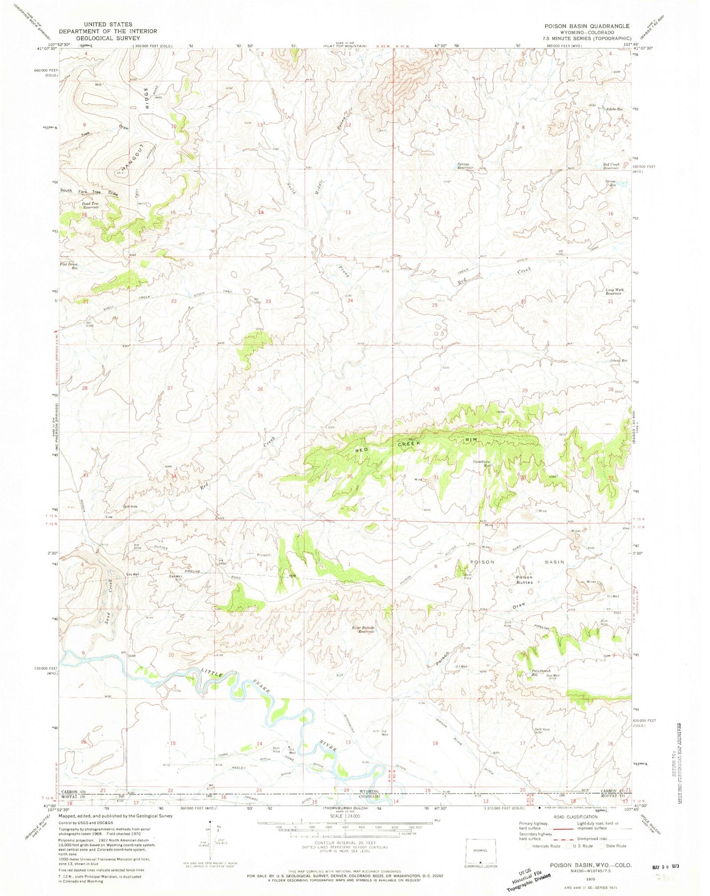
Classic USGS Poison Basin Wyoming 7.5'x7.5' Topo Map
Couldn't load pickup availability
Historical USGS topographic quad map of Poison Basin in the state of Wyoming. Map scale may vary for some years, but is generally around 1:24,000. Print size is approximately 24" x 27"
This quadrangle is in the following counties: Carbon, Moffat.
The map contains contour lines, roads, rivers, towns, and lakes. Printed on high-quality waterproof paper with UV fade-resistant inks, and shipped rolled.
Contains the following named places: Adobe Reservoir, Alpha Claim Group Mine, Cedar Hills One-twelve Mines, Darr Ditch, Dead Tree Reservoir, Flat Draw Reservoir, Gamblers Reservoir, Gibson Blair Ditch, Heeley Ditch, Home Ditch, Jack Rabbit One-ten Mines, Long Walk Reservoir, Lucky Strike Claims, Main Fork Trail, Matt Three Mine, Middle Prong Red Creek, Murphy Mine, North Prong Red Creek, Paintbrush Reservoir, Poison Basin, Poison Buttes, Poison Draw, Red Creek, Red Creek Reservoir, Red Creek Rim, River Bottom Reservoir, Sand Creek, Spragg Reservoir, Strom Reservoir, Teton One Mine, Teton Three Mine, Titan Mine, Woodbury Ditch