MyTopo
Classic USGS Poison Lake California 7.5'x7.5' Topo Map
Regular price
$16.95
Regular price
Sale price
$16.95
Unit price
per
Couldn't load pickup availability
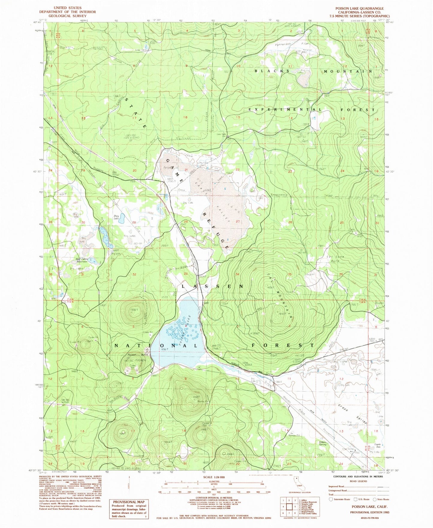
Historical USGS topographic quad map of Poison Lake in the state of California. Map scale may vary for some years, but is generally around 1:24,000. Print size is approximately 24" x 27"
This quadrangle is in the following counties: Lassen.
The map contains contour lines, roads, rivers, towns, and lakes. Printed on high-quality waterproof paper with UV fade-resistant inks, and shipped rolled.
Contains the following named places: Blacks Mountain Experimental Forest, Cal Mountain, Cal-Cone Burn, Coyote Hole, Dry Lake, Ebey Lake, Grass Valley, Grays Valley, Grays Valley Well, Half Cabin Reservoir, Longs Cabin, Patterson Flat, Patterson Well, Poison Butte, Poison Lake, Poison Station, Robbers Spring