MyTopo
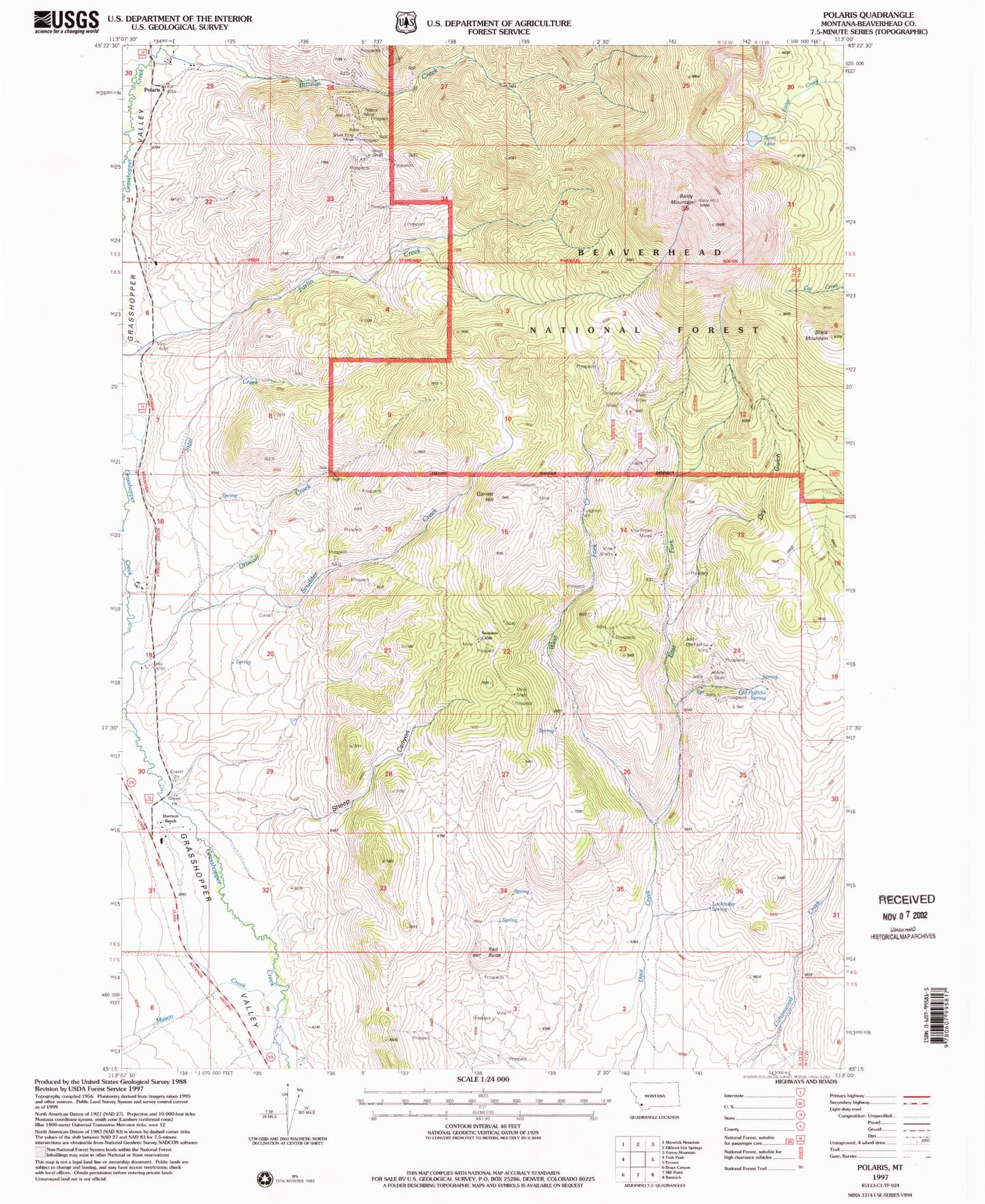
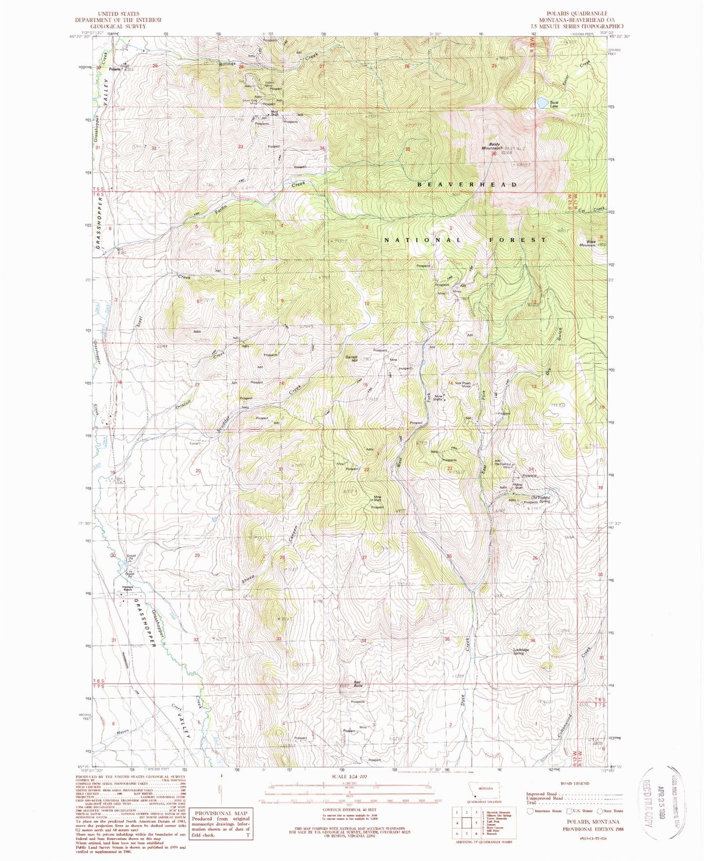
Classic USGS Polaris Montana 7.5'x7.5' Topo Map
Couldn't load pickup availability
Historical USGS topographic quad map of Polaris in the state of Montana. Map scale may vary for some years, but is generally around 1:24,000. Print size is approximately 24" x 27"
This quadrangle is in the following counties: Beaverhead.
The map contains contour lines, roads, rivers, towns, and lakes. Printed on high-quality waterproof paper with UV fade-resistant inks, and shipped rolled.
Contains the following named places: 05S12W29BCDC01 Well, 05S12W31DDDD01 Well, 06S12W31ABBA01 Well, 07S12W06DACB01 Well, 07S12W14DCCC01 Well, Argentite Mine, Baldy Mountain, Baldy Number 4/Hazel Mine, Billings Creek, Black Mountain, Cable Mine, Capital Mine, Dillon Mine, Driscoll Creek, Driscoll Creek Mine, Dry Gulch, Durham Bull Mine, East Fork Dyce Creek, East Polaris Mine, Echo Mine, Garrett Hill, Garrett Hill Mine, Grizzly Bear Mine, Harrison Ranch, Little Bell Mine, Lockridge Spring, Mason Creek, Mayflower Mine, Nick Preen Mine, Nick Preen Mines, Old Faithful Mine, Old Faithful Spring, Old Pinkerton Homestead, Polaris, Polaris Mine, Polaris Post Office, Polaris School, Red Butte, Scott Lake, Sheep Canyon, Silver King Mine, Steel Creek, Steel Creek Mine, Swanson Cabin, Swanson Cabin Mine, Tungsten Mill, West Fork Dyce Creek, West Fork Mine, Wild Bat Mine, Yellowstone Plateau


