MyTopo
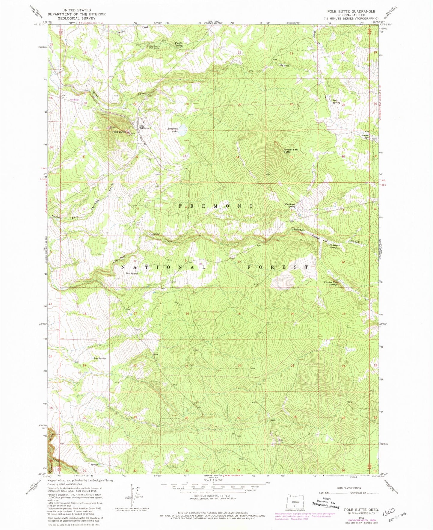
Classic USGS Pole Butte Oregon 7.5'x7.5' Topo Map
Couldn't load pickup availability
Historical USGS topographic quad map of Pole Butte in the state of Oregon. Map scale may vary for some years, but is generally around 1:24,000. Print size is approximately 24" x 27"
This quadrangle is in the following counties: Lake.
The map contains contour lines, roads, rivers, towns, and lakes. Printed on high-quality waterproof paper with UV fade-resistant inks, and shipped rolled.
Contains the following named places: Aspen Spring, Box Spring, Camp Nine, Chocktoot Spring, Emigrant Lake, Lamb Field, Log Spring, Peck Spring, Picketpin Flat, Picketpin Spring, Picture Tree Springs, Pole Butte, Pole Butte Sno-Park, Puddle Spring, Puddle Spring Work Center, Sycan Capacitor Station, T Spring, Timber Fall Butte