MyTopo
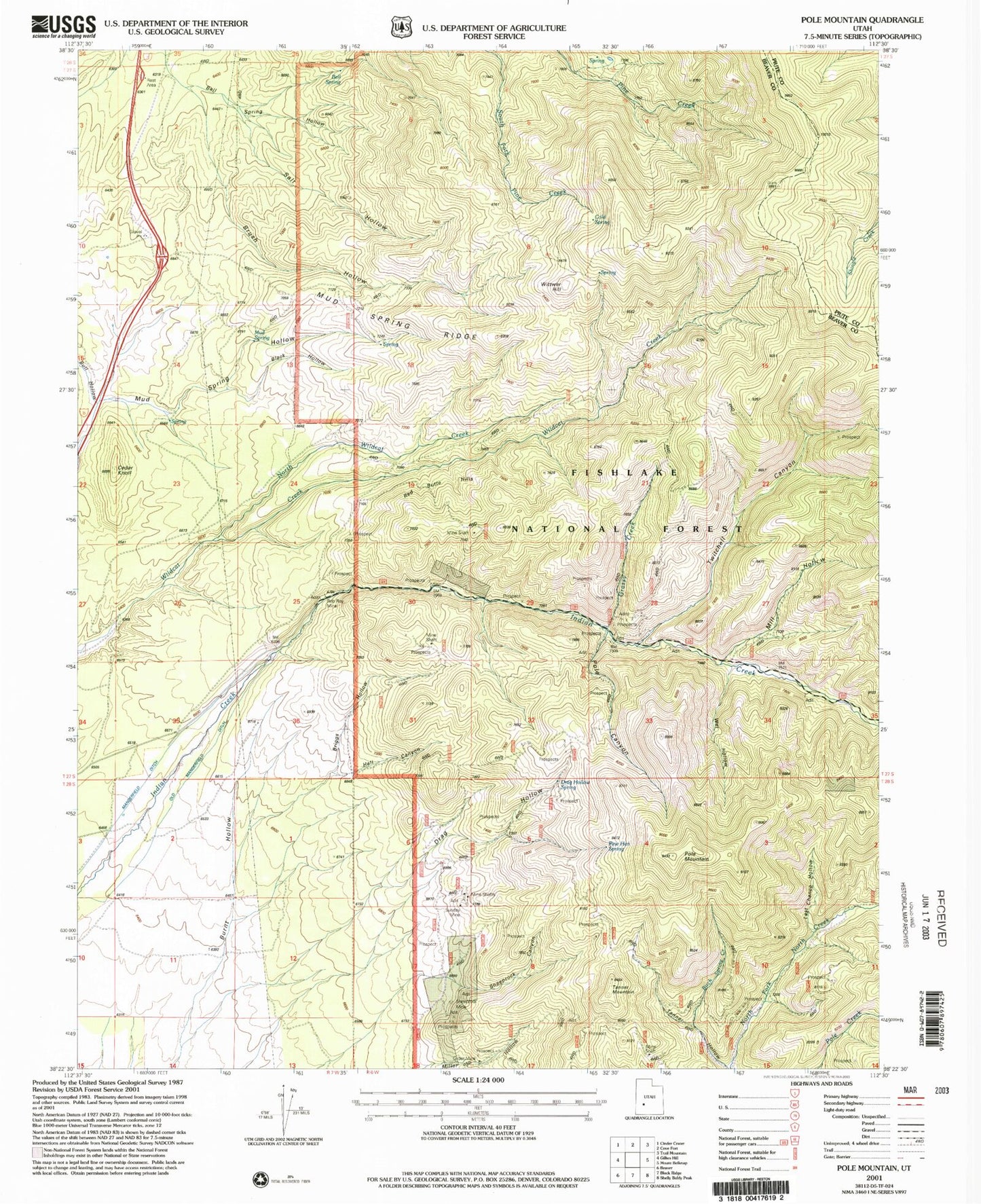
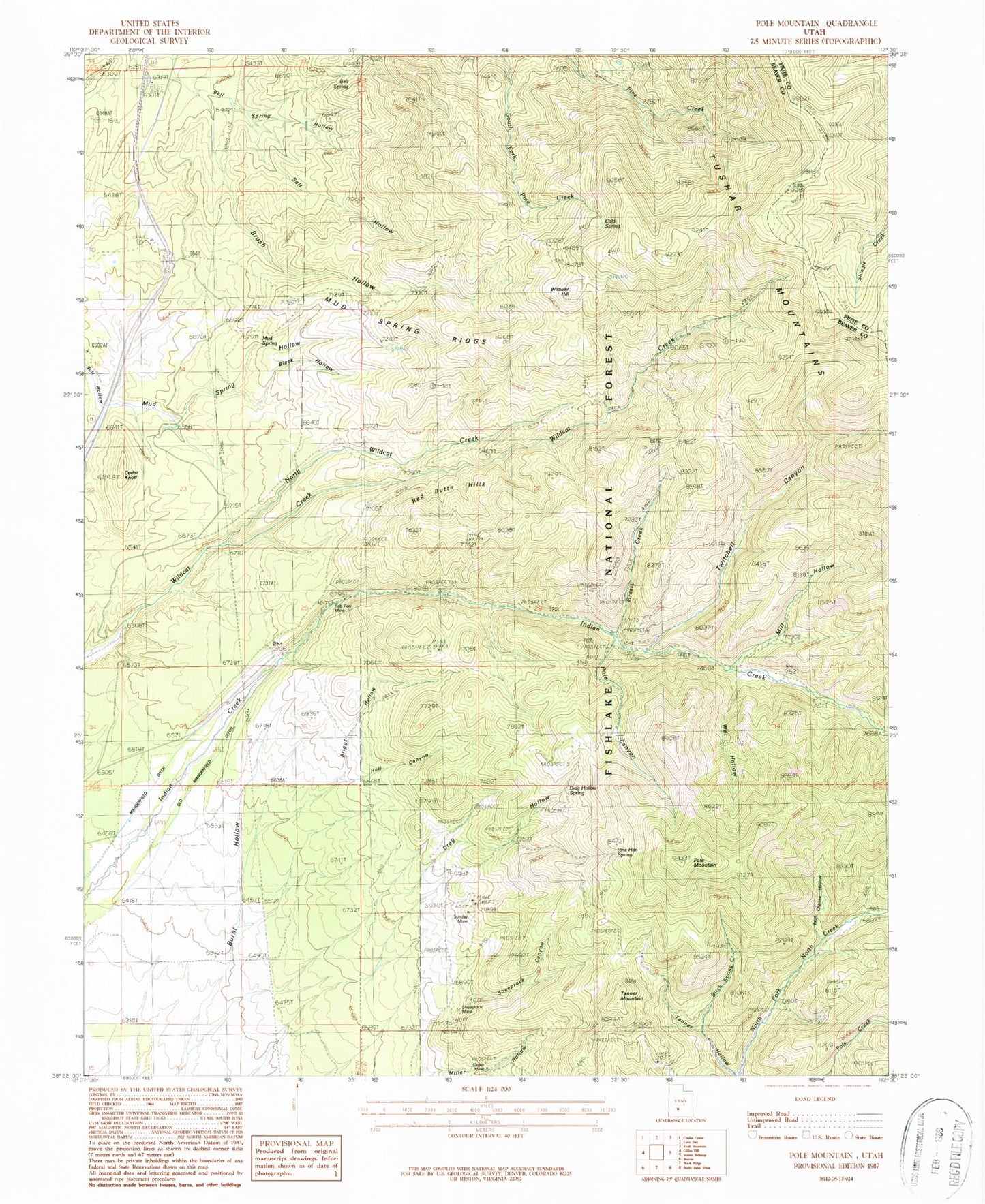
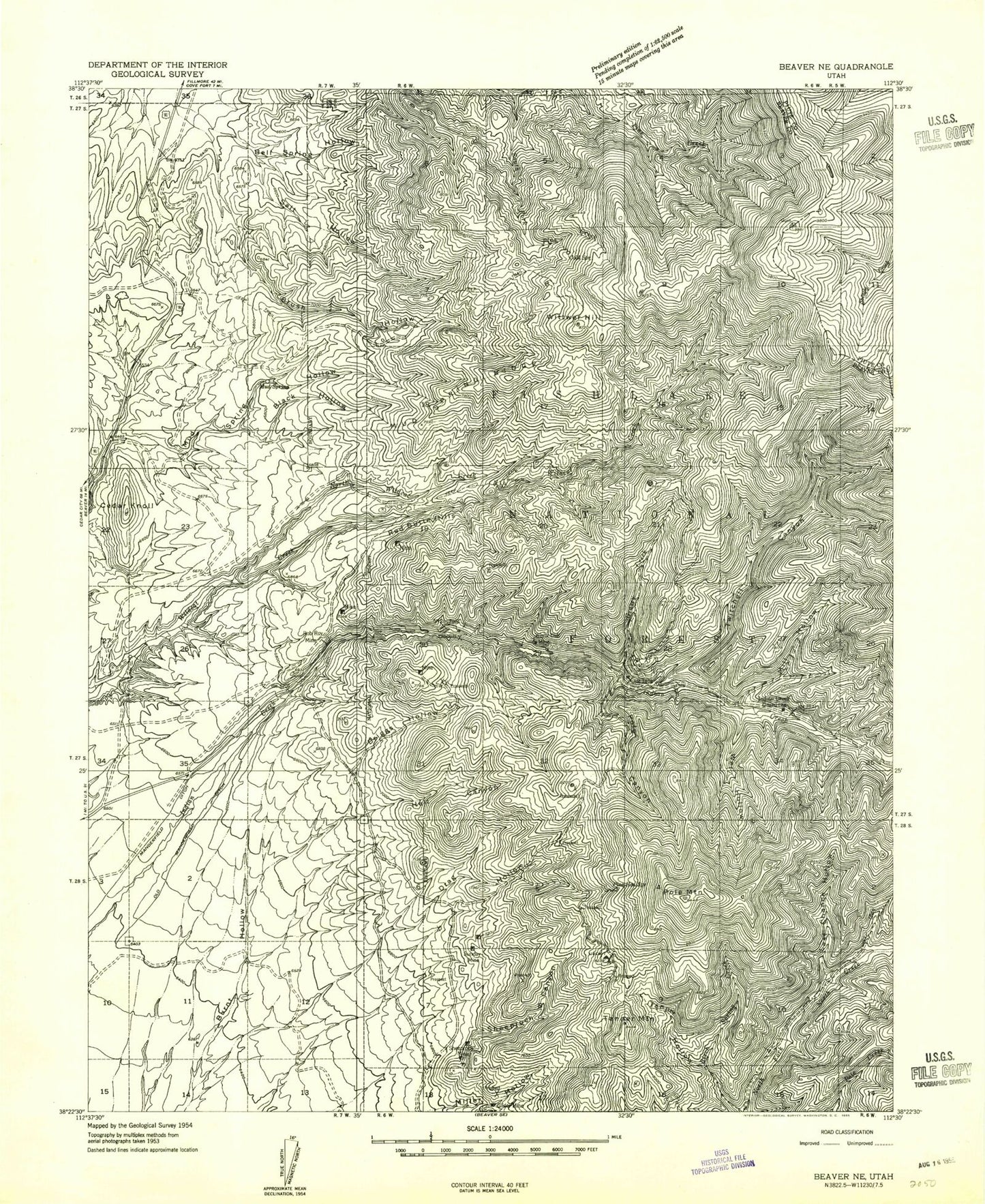
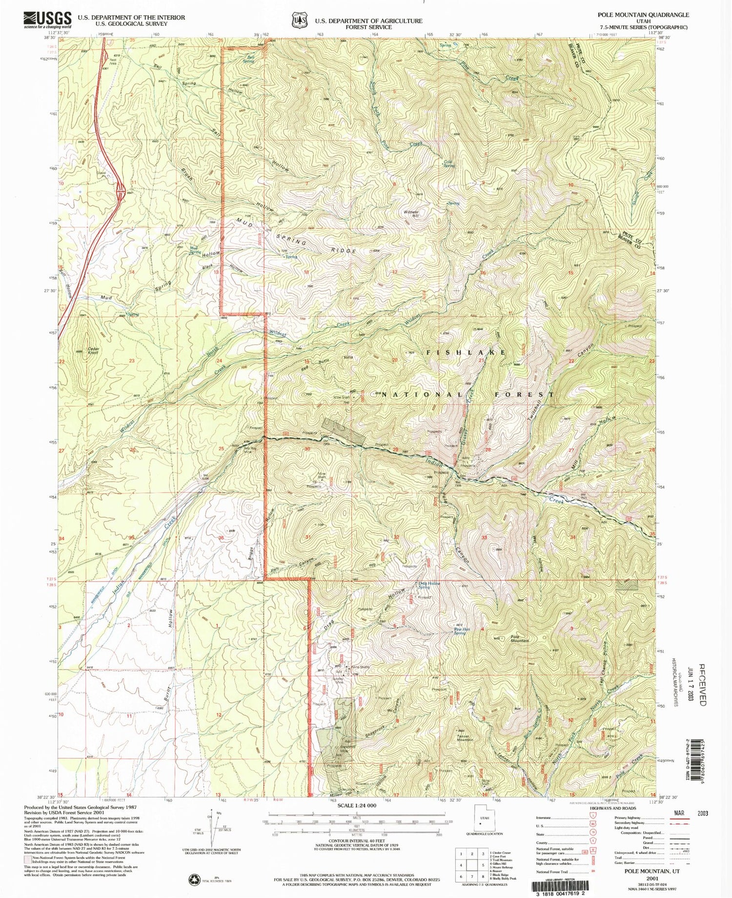
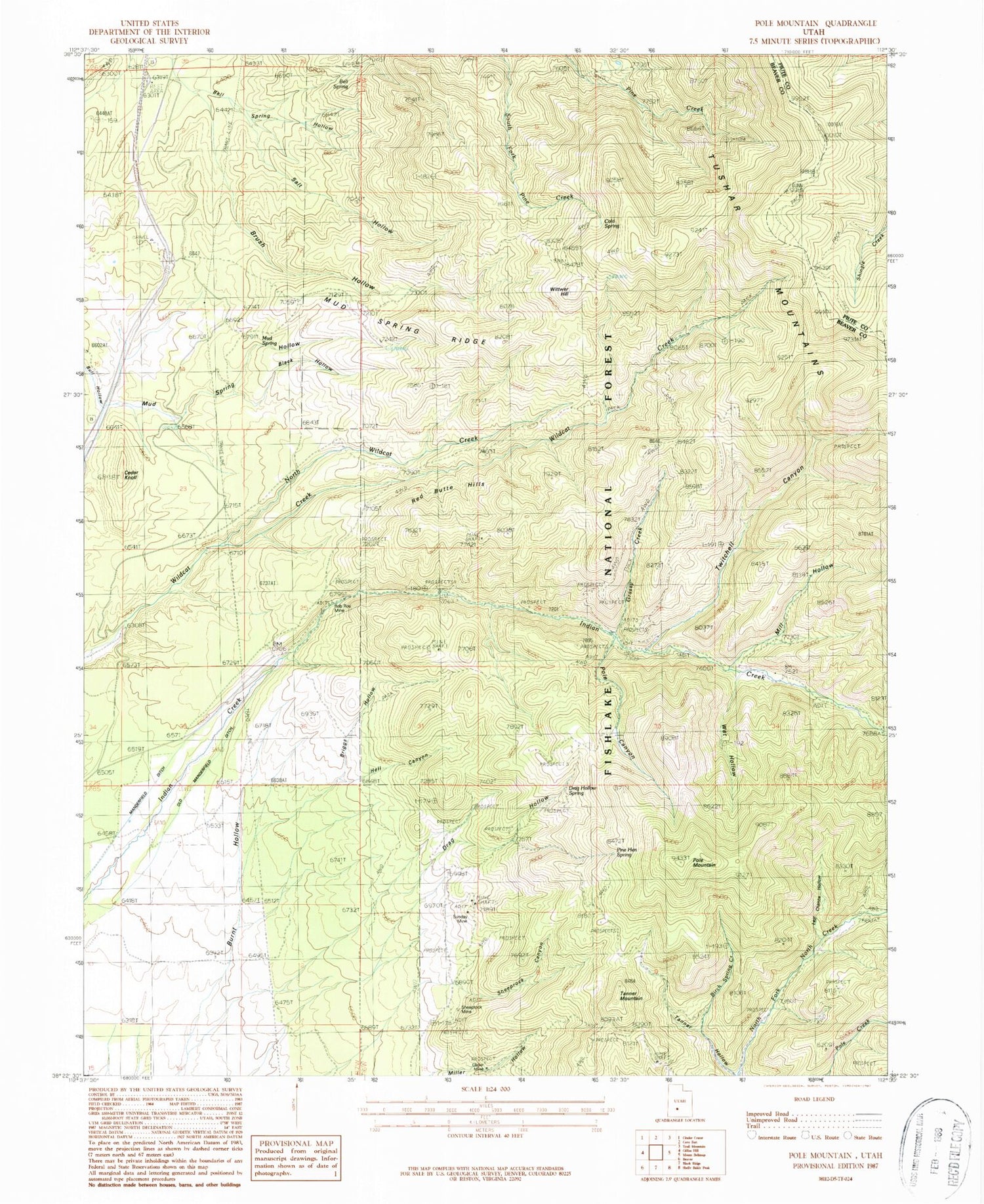
Classic USGS Pole Mountain Utah 7.5'x7.5' Topo Map
Couldn't load pickup availability
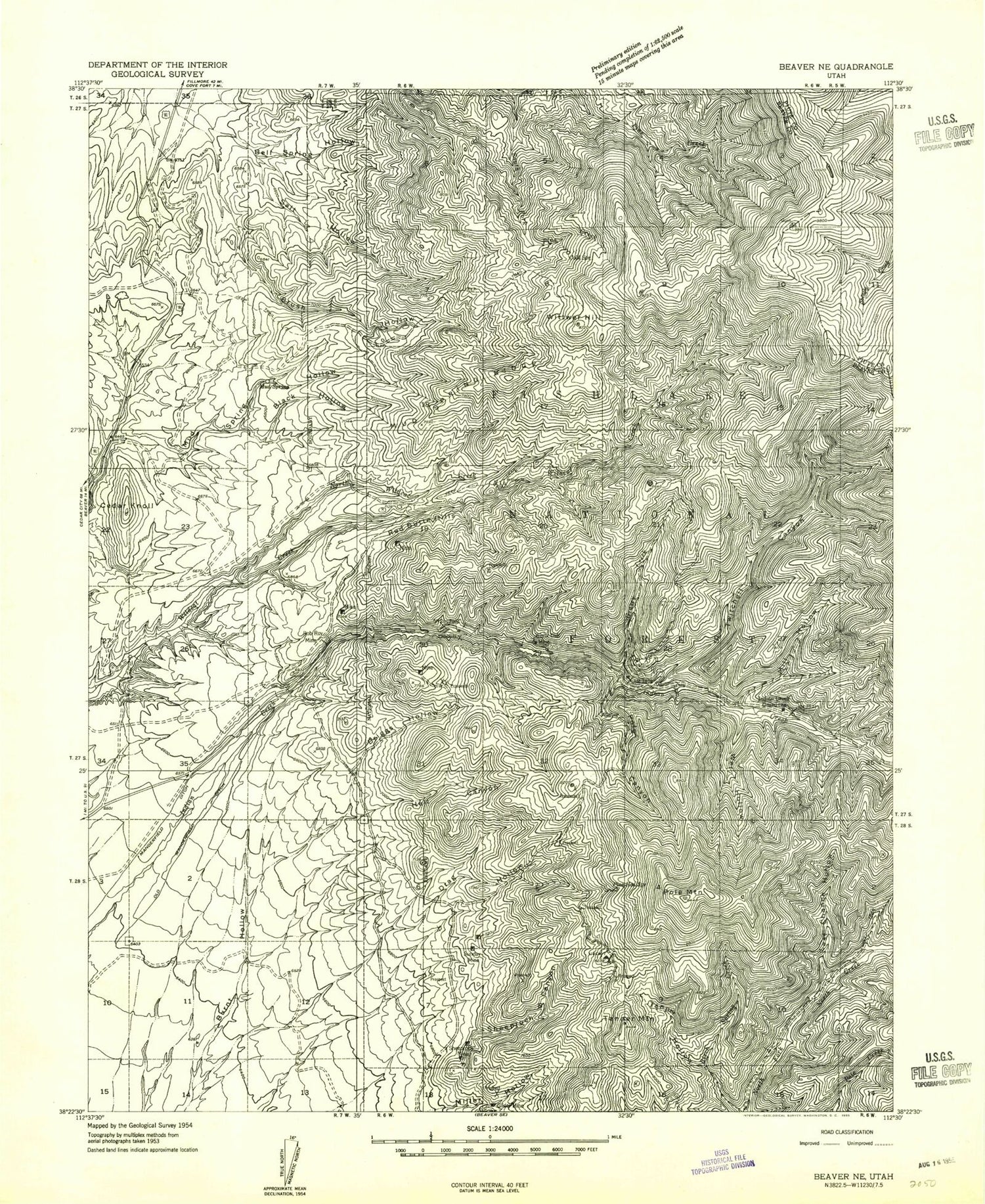
Historical USGS topographic quad map of Pole Mountain in the state of Utah. Map scale may vary for some years, but is generally around 1:24,000. Print size is approximately 24" x 27"
This quadrangle is in the following counties: Beaver, Piute.
The map contains contour lines, roads, rivers, towns, and lakes. Printed on high-quality waterproof paper with UV fade-resistant inks, and shipped rolled.
Contains the following named places: Bell Spring, Bell Spring Hollow, Birch Spring Creek, Black Hollow, Briggs Hollow, Brush Hollow, Bull Hollow, Cedar Knoll, Cold Spring, Drag Hollow, Drag Hollow Spring, Glider Mine, Grassy Creek, Hell Canyon, Indian Creek Grand Station, Last Chance Hollow, Manderfield Ditch, Mill Hollow, Mud Spring, Mud Spring Ridge, North Wildcat Creek, Old Manderfield Ditch, Pine Hen Spring, Pole Canyon, Pole Mountain, Red Butte Hills, Rob Roy Mine, Salt Hollow, Sheeprock Canyon, Sheeprock Mine, Sunday Mine, Tanner Hollow, Tanner Mountain, Twitchell Canyon, Wet Hollow, White Cliff Mine, Wittwer Hill
