MyTopo
Classic USGS Polebridge Montana 7.5'x7.5' Topo Map
Couldn't load pickup availability
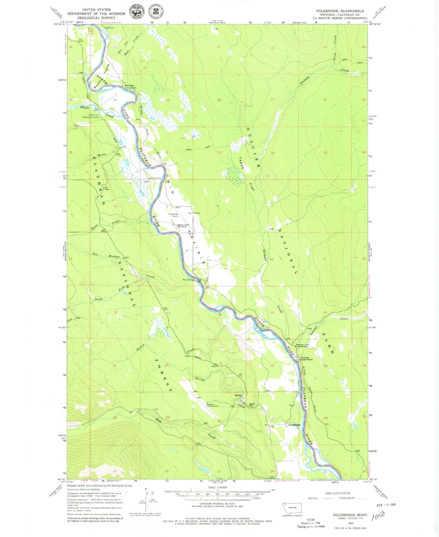
Historical USGS topographic quad map of Polebridge in the state of Montana. Typical map scale is 1:24,000, but may vary for certain years, if available. Print size: 24" x 27"
This quadrangle is in the following counties: Flathead.
The map contains contour lines, roads, rivers, towns, and lakes. Printed on high-quality waterproof paper with UV fade-resistant inks, and shipped rolled.
Contains the following named places: Akokala Creek, Big Prairie, Bowman Creek, Bowman Creek Campground, Ford Creek, Hawk Creek, Moose Creek, Mud Creek, Mud Creek Campground, North Fork Community Center, Parke Creek, Polebridge, Polebridge Ranger Station, Quarter Circle MC Ranch, Red Meadow Creek, River Campground, Round Prairie, South Fork Red Meadow Creek, Spring Creek, Spruce Creek, Tepee Flat, Vance Hill, Whale Creek, Langton Airstrip, Searight Airport (historical), 35N21W09CCA_01 Well, Polebridge Post Office (historical), Kintla Post Office (historical), Reuter (historical), Polebridge Census Designated Place


