MyTopo
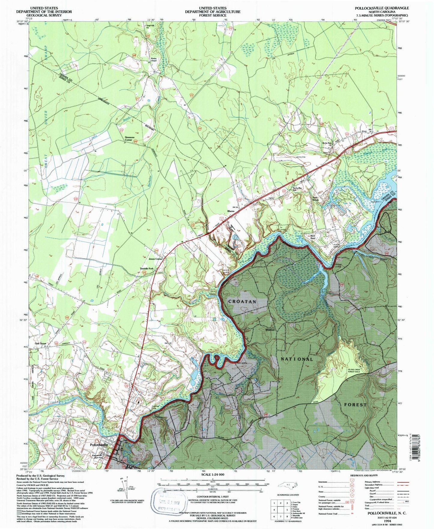
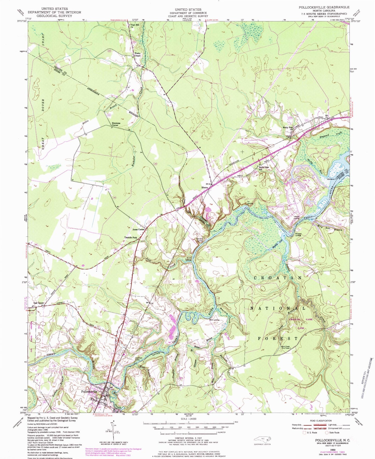
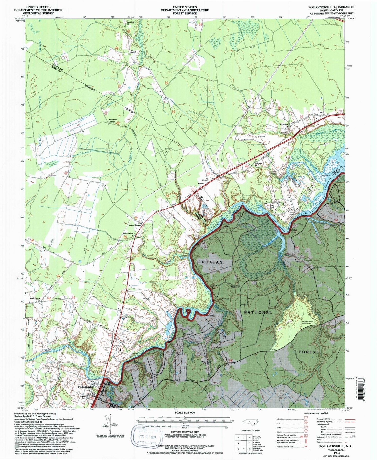
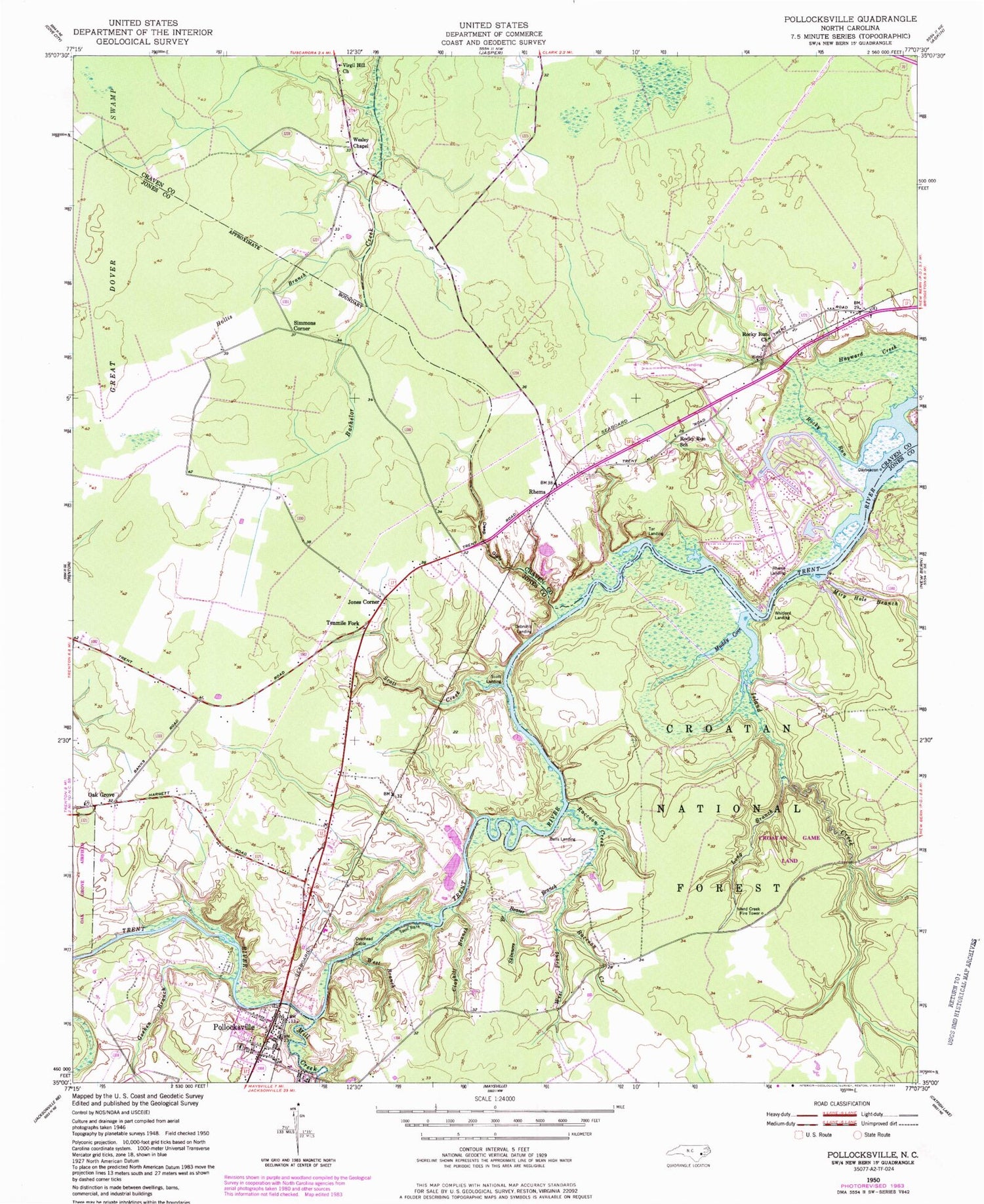
Classic USGS Pollocksville North Carolina 7.5'x7.5' Topo Map
Couldn't load pickup availability
Historical USGS topographic quad map of Pollocksville in the state of North Carolina. Map scale may vary for some years, but is generally around 1:24,000. Print size is approximately 24" x 27"
This quadrangle is in the following counties: Craven, Jones.
The map contains contour lines, roads, rivers, towns, and lakes. Printed on high-quality waterproof paper with UV fade-resistant inks, and shipped rolled.
Contains the following named places: Beaver Branch, Bells Landing, Canaan Air Base, Clayhill Branch, Debruhls Landing, Deep Gully, Goshen Branch, Hayward Creek, Hollis Branch, Island Creek, Island Creek Fire Tower, Jones Corner, Long Branch, Mill Creek, Miry Hole Branch, Muddy Cove, Oak Grove, Pollocksville, Pollocksville Elementary School, Pollocksville Police Department, Pollocksville Post Office, Pollocksville Rescue Squad, Pollocksville Volunteer Fire Department, Raccoon Creek, Rhems, Rhems Fire and Rescue Department, Rhems Landing, Rhems Volunteer Fire Department - Station 2, River Bend, River Bend Police Department, River Bend Wastewater Treatment Plant, Rocky Run, Rocky Run Church, Rocky Run School, Scott Creek, Scott Landing, Simmons Corner, Skinners Branch, Spoil Bank, Tar Landing, Taylor Landing, Tenmile Fork, Town of Pollocksville, Town of River Bend, Township 2-Pollocksville, Trent Bridge, Virgil Hill Church, Wesley Chapel, West Branch, West Prong Raccoon Creek, White Rock Landing, Whitford, Whitford Landing, ZIP Code: 28562


