MyTopo
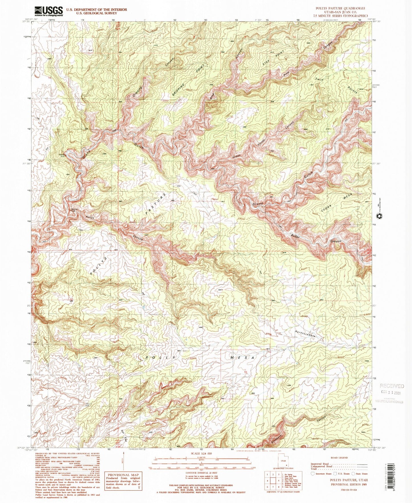
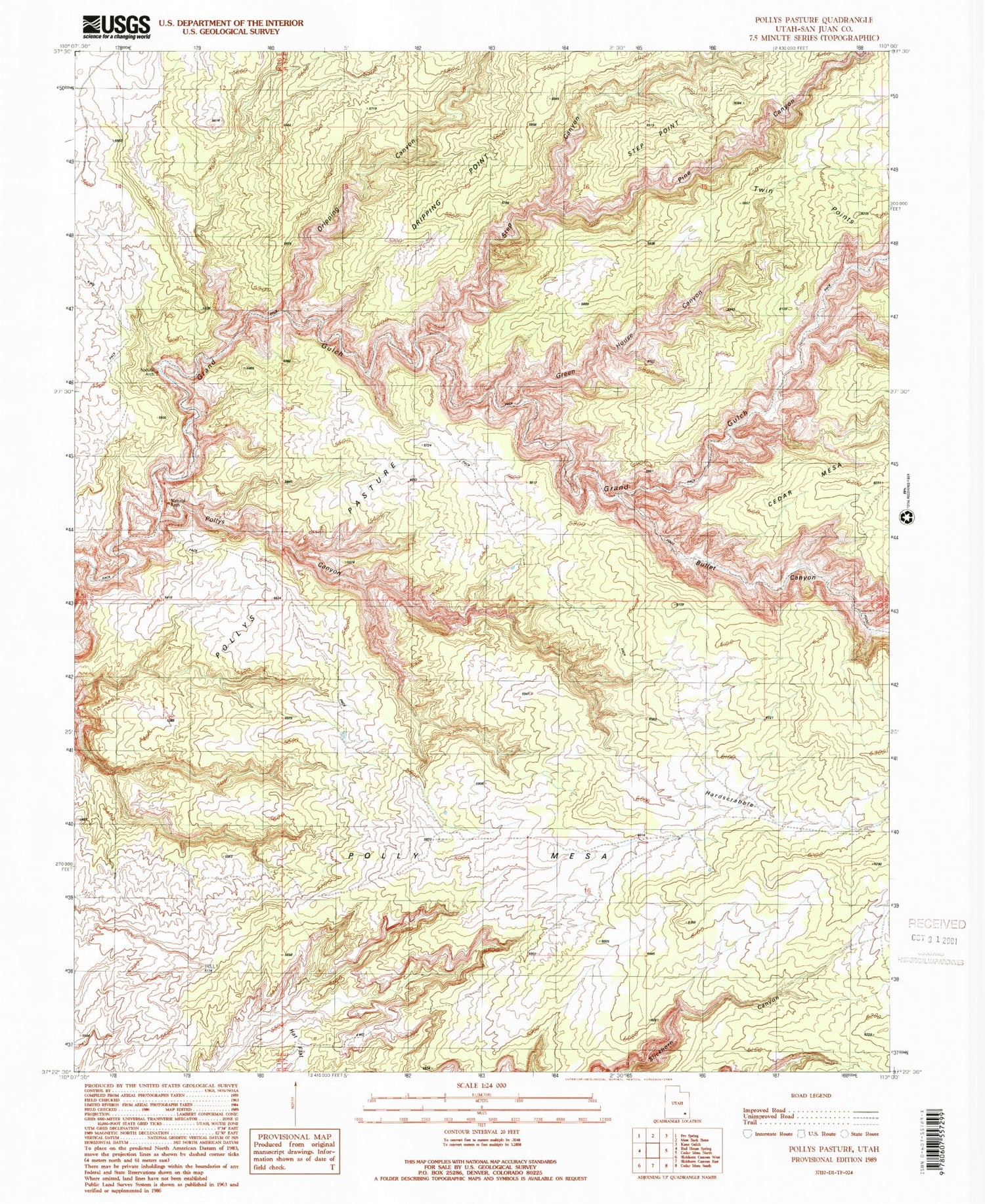
USGS Classic Pollys Pasture Utah 7.5'x7.5' Topo Map
Couldn't load pickup availability
Historical USGS topographic quad map of Pollys Pasture in the state of Utah. Scale: 1:24000. Print size: 24" x 27"
This quadrangle is in the following counties: San Juan.
The map contains contour lines, roads, rivers, towns, lakes, and grids including latitude / longitude and UTM / MGRS. Printed on high-quality waterproof paper with UV fade-resistant inks.
Contains the following named places: Bullet Canyon, Dripping Canyon, Hardscrabble, Pollys Pasture, Big Man Panel, Bullet Canyon Spring, Cow Trail Canyon, Coyote Canyon, Coyote Spring, Deer Canyon Spring, Government Trail, Green Canyon Spring, Green Mash Spring, Jailhouse Spring, Pollys Canyon, Pollys Island, Pollys Spring, Sheiks Canyon, Step Spring, The Thumb Pour Off, Pine Canyon, Step Canyon, Red House Cliffs, Grand Gulch Primitive Area


