MyTopo
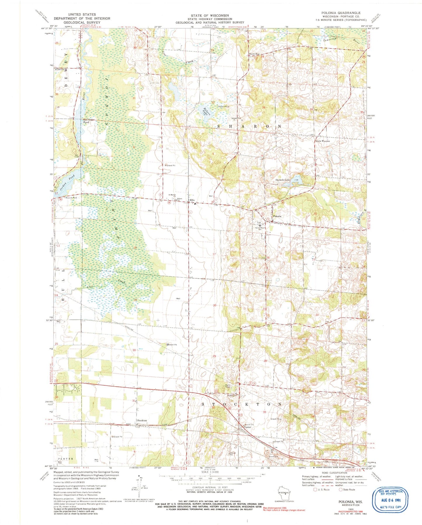
Classic USGS Polonia Wisconsin 7.5'x7.5' Topo Map
Couldn't load pickup availability
Historical USGS topographic quad map of Polonia in the state of Wisconsin. Map scale may vary for some years, but is generally around 1:24,000. Print size is approximately 24" x 27"
This quadrangle is in the following counties: Portage.
The map contains contour lines, roads, rivers, towns, and lakes. Printed on high-quality waterproof paper with UV fade-resistant inks, and shipped rolled.
Contains the following named places: Bakers Lake, Casey's Orchard, Custer, Custer Post Office, Edison School, Ellis, Heffron School, Jordan Pond, Jordan Swamp, Little Waupon, MacGlacklin School, Madison School, Mengel Sand and Gravel Pit, North Star, Oesterle Lake, Polonia, Polonia Census Designated Place, Sacred Heart Elementary School, Saint Martin Church, Saint Marys Church, Stockton, Stockton School, Town of Sharon, Van Order 1907C157 Dam, VanOrder Pond, ZIP Code: 54423


